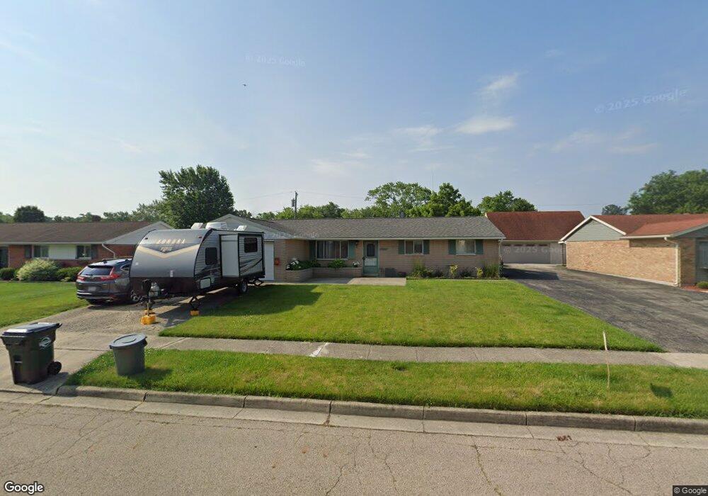
1072 Bosco Ave Vandalia, OH 45377
Estimated Value: $218,000 - $263,000
3
Beds
2
Baths
1,831
Sq Ft
$136/Sq Ft
Est. Value
About This Home
This home is located at 1072 Bosco Ave, Vandalia, OH 45377 and is currently estimated at $248,548, approximately $135 per square foot. 1072 Bosco Ave is a home located in Montgomery County with nearby schools including Helke Elementary School, Morton Middle School, and Butler High School.
Ownership History
Date
Name
Owned For
Owner Type
Purchase Details
Closed on
Oct 27, 2017
Sold by
Mitchell Kathryn
Bought by
Boman Keith I
Current Estimated Value
Home Financials for this Owner
Home Financials are based on the most recent Mortgage that was taken out on this home.
Original Mortgage
$85,800
Outstanding Balance
$71,858
Interest Rate
3.83%
Mortgage Type
New Conventional
Estimated Equity
$176,690
Purchase Details
Closed on
Sep 21, 2010
Sold by
Brockman Lois M and Brockman Melvin V
Bought by
Brockman Karen and Lois M Brockman Family Preservation Trus
Purchase Details
Closed on
Aug 18, 2010
Sold by
Brockman Melvin V and Mitchell Kathryn
Bought by
Brockman Lois M
Create a Home Valuation Report for This Property
The Home Valuation Report is an in-depth analysis detailing your home's value as well as a comparison with similar homes in the area
Home Values in the Area
Average Home Value in this Area
Purchase History
| Date | Buyer | Sale Price | Title Company |
|---|---|---|---|
| Boman Keith I | $114,400 | Title Source | |
| Brockman Karen | -- | Attorney | |
| Brockman Lois M | -- | Attorney |
Source: Public Records
Mortgage History
| Date | Status | Borrower | Loan Amount |
|---|---|---|---|
| Open | Boman Keith I | $85,800 |
Source: Public Records
Tax History Compared to Growth
Tax History
| Year | Tax Paid | Tax Assessment Tax Assessment Total Assessment is a certain percentage of the fair market value that is determined by local assessors to be the total taxable value of land and additions on the property. | Land | Improvement |
|---|---|---|---|---|
| 2024 | $3,527 | $67,580 | $12,200 | $55,380 |
| 2023 | $3,527 | $67,580 | $12,200 | $55,380 |
| 2022 | $3,162 | $48,970 | $8,840 | $40,130 |
| 2021 | $3,164 | $48,970 | $8,840 | $40,130 |
| 2020 | $3,157 | $48,970 | $8,840 | $40,130 |
| 2019 | $2,788 | $39,630 | $7,690 | $31,940 |
| 2018 | $2,793 | $39,630 | $7,690 | $31,940 |
| 2017 | $2,165 | $39,630 | $7,690 | $31,940 |
| 2016 | $2,160 | $39,030 | $7,690 | $31,340 |
| 2015 | $2,134 | $39,030 | $7,690 | $31,340 |
| 2014 | $2,134 | $39,030 | $7,690 | $31,340 |
| 2012 | -- | $35,030 | $8,540 | $26,490 |
Source: Public Records
Map
Nearby Homes
- 1072 Pool Ave
- 417 Randler Ave
- 926 Pool Ave
- 905 Pool Ave
- 808 Stewville Dr
- 910 Bright Ave
- 475 Pilot Point 1-300
- 465 Pilot Point 1-302
- 485 Pilot Point 1-301
- 485 Pilot Point Unit 1-301
- 475 Pilot Point Unit 1-300
- 1051 Bailey Ave
- 626 W National Rd
- 465 Pilot Point Unit 1-302
- 860 Helke Rd
- 520 Buttercup Ave
- 25 Long St
- 32 Gabriel St
- 246 Crest Hill Ave
- 917 Howard Ln