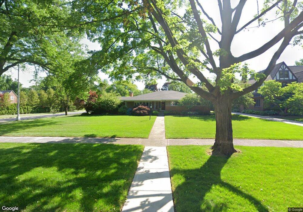
1072 Devonshire Rd Grosse Pointe Park, MI 48230
Estimated Value: $541,997 - $726,000
Studio
--
Bath
2,520
Sq Ft
$252/Sq Ft
Est. Value
About This Home
This home is located at 1072 Devonshire Rd, Grosse Pointe Park, MI 48230 and is currently estimated at $634,499, approximately $251 per square foot. 1072 Devonshire Rd is a home located in Wayne County with nearby schools including George Defer Elementary School, Pierce Middle School, and Grosse Pointe South High School.
Ownership History
Date
Name
Owned For
Owner Type
Purchase Details
Closed on
Jul 18, 2017
Sold by
Valdez Charles E and Puma Sandra L
Bought by
The Paula B Engel Trust
Current Estimated Value
Purchase Details
Closed on
Apr 6, 2015
Sold by
Valdez Charles E and Puma Sandra L
Bought by
Charles E Valdez & Sandra L Puma Trust
Create a Home Valuation Report for This Property
The Home Valuation Report is an in-depth analysis detailing your home's value as well as a comparison with similar homes in the area
Home Values in the Area
Average Home Value in this Area
Purchase History
| Date | Buyer | Sale Price | Title Company |
|---|---|---|---|
| The Paula B Engel Trust | $367,500 | None Available | |
| Charles E Valdez & Sandra L Puma Trust | -- | Attorney |
Source: Public Records
Tax History
| Year | Tax Paid | Tax Assessment Tax Assessment Total Assessment is a certain percentage of the fair market value that is determined by local assessors to be the total taxable value of land and additions on the property. | Land | Improvement |
|---|---|---|---|---|
| 2025 | $5,583 | $259,600 | $0 | $0 |
| 2024 | $5,374 | $237,400 | $0 | $0 |
| 2023 | $5,132 | $222,000 | $0 | $0 |
| 2022 | $4,875 | $207,600 | $0 | $0 |
| 2021 | $9,613 | $197,900 | $0 | $0 |
| 2019 | $9,893 | $192,000 | $0 | $0 |
| 2018 | $4,267 | $165,000 | $0 | $0 |
| 2017 | $11,202 | $136,000 | $0 | $0 |
| 2016 | $10,494 | $222,900 | $0 | $0 |
| 2015 | $18,870 | $210,800 | $0 | $0 |
| 2013 | $18,280 | $185,800 | $0 | $0 |
| 2012 | $5,360 | $221,400 | $86,900 | $134,500 |
Source: Public Records
Map
Nearby Homes
- 1206 Balfour St
- 943 Harcourt Rd Unit 45
- 1048 Lakepointe St Unit A
- 1338 Somerset Ave
- 74 Pointe Park Place Unit 311
- 1254 Beaconsfield Ave
- 815 Harcourt Rd Unit 2
- 814 Harcourt Rd Unit 816
- 32 Pointe Park Place Unit 31
- 1083 Lakepointe St
- 26 Pointe Park Place Unit 303
- 926 Nottingham Rd Unit 928
- 796 Harcourt Rd Unit 98
- 1030 Bishop Rd
- 1264 Bishop Rd
- 3430 Bedford St
- 1328 Lakepointe St
- 3460 Bedford St
- 1239 Maryland St
- 612 Cadieux Rd
- 1068 Devonshire Rd
- 1093 Bedford Rd
- 1100 Devonshire Rd
- 1083 Bedford Rd
- 1064 Devonshire Rd
- 1105 Bedford Rd
- 1112 Devonshire Rd
- 1075 Bedford Rd
- 1071 Devonshire Rd
- 1113 Bedford Rd
- 1067 Devonshire Rd
- 1103 Devonshire Rd
- 1060 Devonshire Rd
- 1067 Bedford Rd
- 1120 Devonshire Rd
- 1084 Bedford Rd
- 1096 Bedford Rd
- 1063 Devonshire Rd
- 1119 Bedford Rd
- 1111 Devonshire Rd
Your Personal Tour Guide
Ask me questions while you tour the home.