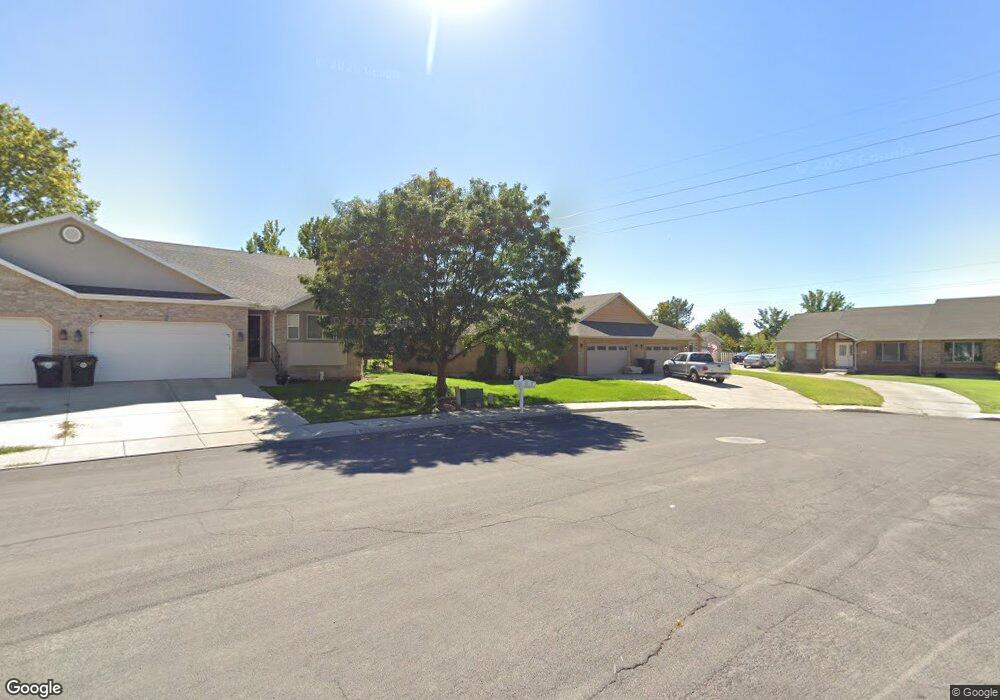
1072 E 200 S Springville, UT 84663
Estimated Value: $448,000 - $476,147
3
Beds
2
Baths
1,564
Sq Ft
$297/Sq Ft
Est. Value
About This Home
This home is located at 1072 E 200 S, Springville, UT 84663 and is currently estimated at $464,049, approximately $296 per square foot. 1072 E 200 S is a home located in Utah County with nearby schools including Brookside School, Springville Junior High School, and Springville High School.
Ownership History
Date
Name
Owned For
Owner Type
Purchase Details
Closed on
Feb 9, 2021
Sold by
Palfreyman Andre Clyde and Palfreyman Travis Eugene
Bought by
Palfreyman Regan Joseph
Current Estimated Value
Purchase Details
Closed on
May 14, 2019
Sold by
Palfreyman Clark D and Palfreyman Aldeen C
Bought by
Palfreyman Aldeen C and Palfreyman Bentley Clark
Purchase Details
Closed on
Apr 25, 2018
Sold by
Palfreyamn Aldeen C and The Clark D Palfreyamn Family
Bought by
Palfreyamn Aldeen and Sumsion Chalan
Create a Home Valuation Report for This Property
The Home Valuation Report is an in-depth analysis detailing your home's value as well as a comparison with similar homes in the area
Home Values in the Area
Average Home Value in this Area
Purchase History
| Date | Buyer | Sale Price | Title Company |
|---|---|---|---|
| Palfreyman Regan Joseph | -- | Pro Title And Escrow Inc | |
| Palfreyman Aldeen C | -- | None Available | |
| Palfreyamn Aldeen | -- | None Available | |
| Palfreyamn Aldeen C | -- | None Available |
Source: Public Records
Tax History
| Year | Tax Paid | Tax Assessment Tax Assessment Total Assessment is a certain percentage of the fair market value that is determined by local assessors to be the total taxable value of land and additions on the property. | Land | Improvement |
|---|---|---|---|---|
| 2025 | $2,496 | $268,070 | -- | -- |
| 2024 | $2,496 | $255,695 | $0 | $0 |
| 2023 | $2,358 | $241,835 | $0 | $0 |
| 2022 | $2,191 | $220,715 | $0 | $0 |
| 2021 | $1,977 | $309,900 | $79,400 | $230,500 |
| 2020 | $1,788 | $271,800 | $79,400 | $192,400 |
| 2019 | $1,636 | $253,100 | $79,400 | $173,700 |
| 2018 | $1,653 | $244,000 | $79,400 | $164,600 |
| 2017 | $1,430 | $112,145 | $0 | $0 |
| 2016 | $1,271 | $97,735 | $0 | $0 |
| 2015 | $1,204 | $94,600 | $0 | $0 |
| 2014 | $1,176 | $91,850 | $0 | $0 |
Source: Public Records
Map
Nearby Homes
- 1130 Hillcrest Dr
- 1185 Hillcrest Dr
- 1062 E 350 S
- 802 S Brookside Dr
- 1361 E 400 S
- 805 E 400 S
- 1027 E 200 N
- 926 E 250 N
- 616 E Aaron Ave
- 557 S 1470 E
- 883 E 700 S
- 645 Swenson Ave Unit 5
- 645 Swenson Ave Unit 3
- 647 Swenson Ave Unit 3
- 445 E 535 S
- 711 E 400 N
- 585 S 400 E
- 677 E 800 South St
- 949 S 1060 E
- 66 E 750 S Unit 23
Your Personal Tour Guide
Ask me questions while you tour the home.