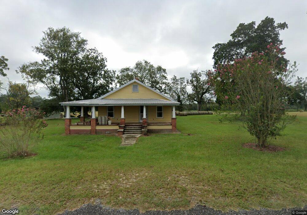
1072 Norris Rd Surrency, GA 31563
Estimated Value: $202,157 - $261,000
2
Beds
2
Baths
1,680
Sq Ft
$142/Sq Ft
Est. Value
About This Home
This home is located at 1072 Norris Rd, Surrency, GA 31563 and is currently estimated at $239,289, approximately $142 per square foot. 1072 Norris Rd is a home located in Appling County.
Ownership History
Date
Name
Owned For
Owner Type
Purchase Details
Closed on
Dec 20, 2011
Sold by
Collins Joseph T
Bought by
Murphy Zand and Murphy Tami H
Current Estimated Value
Purchase Details
Closed on
Oct 17, 2011
Sold by
Marion E Morris Estate and Morris Randy
Bought by
Collins Joseph T and Collins Nancy N
Purchase Details
Closed on
Oct 7, 2008
Sold by
Morris Randy
Bought by
Norris Marion E
Purchase Details
Closed on
Apr 2, 2008
Sold by
Norris Marion E
Bought by
Morris Randy
Purchase Details
Closed on
Nov 13, 1961
Bought by
Norris Marion E
Create a Home Valuation Report for This Property
The Home Valuation Report is an in-depth analysis detailing your home's value as well as a comparison with similar homes in the area
Purchase History
| Date | Buyer | Sale Price | Title Company |
|---|---|---|---|
| Murphy Zand | $90,276 | -- | |
| Collins Joseph T | $90,000 | -- | |
| Norris Marion E | -- | -- | |
| Morris Randy | -- | -- | |
| Norris Marion E | -- | -- |
Source: Public Records
Tax History
| Year | Tax Paid | Tax Assessment Tax Assessment Total Assessment is a certain percentage of the fair market value that is determined by local assessors to be the total taxable value of land and additions on the property. | Land | Improvement |
|---|---|---|---|---|
| 2025 | $1,642 | $95,080 | $31,720 | $63,360 |
| 2024 | $1,642 | $50,687 | $9,560 | $41,127 |
| 2023 | $1,245 | $16,278 | $9,271 | $7,007 |
| 2022 | $215 | $20,781 | $9,271 | $11,510 |
| 2021 | $207 | $20,781 | $9,271 | $11,510 |
| 2020 | $223 | $20,781 | $9,271 | $11,510 |
| 2019 | $228 | $20,781 | $9,271 | $11,510 |
| 2018 | $227 | $20,744 | $9,234 | $11,510 |
| 2017 | $232 | $20,744 | $9,234 | $11,510 |
| 2016 | $232 | $20,744 | $9,234 | $11,510 |
| 2015 | $232 | $20,743 | $9,234 | $11,510 |
| 2014 | $297 | $20,743 | $9,234 | $11,510 |
| 2013 | -- | $20,743 | $9,233 | $11,509 |
Source: Public Records
Map
Nearby Homes
- 0 Lee Woods Rd Unit 18062646
- 286 Carter Bight Landing Rd
- 0 Lee Woods Rd Unit 11355226
- 163 High Bluff Rd
- 2286 Carter Bight Landing Rd
- 315 Getaway Ln
- Rivers Edge Rd Hwy 178
- 0 Georgia 121
- 468 Half Moon Lake Rd
- 96 Annie Holt Rd
- 965 Oquinn Loop
- 1054 Penny Morris Rd
- 0 O'Quinn Loop
- 03 Penny Morris Rd
- TRACT 7 Penny Morris Rd
- 01 Penny Morris Rd
- TRACTS 10 AND 1 Penny Morris Rd
- 02 Penny Morris Rd
- 4360 E River Rd
- 1262 Penny Morris Rd
- 927 Norris Rd
- 938 Norris Rd
- 765 Norris Rd
- 1290 Norris Rd
- 1301 Norris Rd
- 13 Murphy Rd
- 268 Kicklighter Rd
- 914 Norris Rd
- 534 Lq Sellers Rd
- 250 Murphy Rd
- 659 Lq Sellers Rd
- 12602 Ten Mile Rd
- 13052 Ten Mile Rd
- 12589 Ten Mile Rd
- 198 Lq Sellers Rd
- 27 Kicklighter Rd
- 13273 Ten Mile Rd
- 854 Wilson Landing Rd
- 525 Zion Baptist Church Rd
- 12869 Ten Mile Rd
Your Personal Tour Guide
Ask me questions while you tour the home.