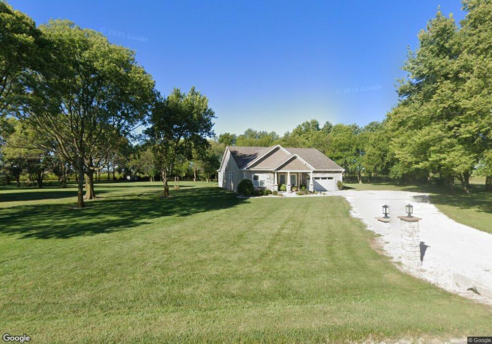
1072 S Prince William Rd Delphi, IN 46923
Estimated Value: $215,000 - $560,000
2
Beds
1
Bath
864
Sq Ft
$460/Sq Ft
Est. Value
About This Home
This home is located at 1072 S Prince William Rd, Delphi, IN 46923 and is currently estimated at $397,517, approximately $460 per square foot. 1072 S Prince William Rd is a home located in Carroll County with nearby schools including Delphi Community Elementary School, Delphi Community Middle School, and Delphi Community High School.
Ownership History
Date
Name
Owned For
Owner Type
Purchase Details
Closed on
Jul 24, 2014
Current Estimated Value
Purchase Details
Closed on
Mar 20, 2006
Sold by
Maxwell Steven Keith
Bought by
Smith Joe S and Smith Angela D
Home Financials for this Owner
Home Financials are based on the most recent Mortgage that was taken out on this home.
Original Mortgage
$80,750
Interest Rate
8.99%
Mortgage Type
Adjustable Rate Mortgage/ARM
Purchase Details
Closed on
May 20, 1999
Sold by
Cunningham John Estate
Bought by
Maxwell Steven
Create a Home Valuation Report for This Property
The Home Valuation Report is an in-depth analysis detailing your home's value as well as a comparison with similar homes in the area
Home Values in the Area
Average Home Value in this Area
Purchase History
| Date | Buyer | Sale Price | Title Company |
|---|---|---|---|
| -- | $45,050 | None Available | |
| Smith Joe S | -- | None Available | |
| Maxwell Steven | $70,000 | -- |
Source: Public Records
Mortgage History
| Date | Status | Borrower | Loan Amount |
|---|---|---|---|
| Previous Owner | Smith Joe S | $80,750 |
Source: Public Records
Tax History Compared to Growth
Tax History
| Year | Tax Paid | Tax Assessment Tax Assessment Total Assessment is a certain percentage of the fair market value that is determined by local assessors to be the total taxable value of land and additions on the property. | Land | Improvement |
|---|---|---|---|---|
| 2024 | $3,098 | $443,800 | $40,000 | $403,800 |
| 2023 | $2,550 | $412,800 | $40,000 | $372,800 |
| 2022 | $2,550 | $369,900 | $40,000 | $329,900 |
| 2021 | $2,465 | $342,400 | $42,000 | $300,400 |
| 2020 | $2,519 | $330,700 | $42,000 | $288,700 |
| 2019 | $2,589 | $327,000 | $42,000 | $285,000 |
| 2018 | $2,187 | $302,100 | $42,000 | $260,100 |
| 2017 | $2,010 | $299,100 | $31,800 | $267,300 |
| 2016 | $1,354 | $199,700 | $31,800 | $167,900 |
| 2014 | $910 | $70,000 | $31,800 | $38,200 |
| 2013 | $910 | $68,800 | $31,800 | $37,000 |
Source: Public Records
Map
Nearby Homes
- 8649 W Division Line Rd
- 35 Pond View Dr
- 232 W Vine St
- 230 W Vine St
- 228 W Vine St
- 112 Williston Ct
- 116 Williston Ct
- 215 W Front St
- 205 E Franklin St
- 7640 N 1000 E
- 317 N Market St
- 409 N Wilson St
- 610 N Wilson St
- 5239 S 800 W
- 2075 N 925 W
- 7930 W 550 S
- 99 Westwood Dr
- 1158 N Brewer Ave
- 63 W 145 S
- 2801 N 930 W Unit 10
- 1008 S Prince William Rd
- 1169 S Prince William Rd
- 779 S Prince William Rd
- 1520 S Us Highway 421
- 1520 S Us Highway 421
- 616 S Prince William Rd
- 576 S Prince William Rd
- 1705 S Prince William Rd
- 4913 W 100 S
- 6477 W 100 S
- 1335 S 650 W
- 1335 S 650 W
- 787 S 650 W
- 4738 W 100 S
- 2141 S Us Highway 421
- 5854 W State Road 18
- 572 S 650 W
- 6605 W 150 S