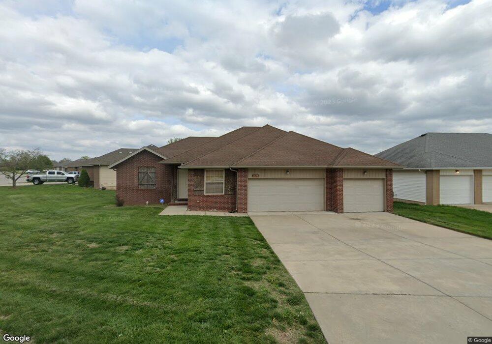
1072 S Red Cedar Ave Springfield, MO 65802
Estimated Value: $266,000 - $280,000
4
Beds
2
Baths
1,743
Sq Ft
$156/Sq Ft
Est. Value
About This Home
This home is located at 1072 S Red Cedar Ave, Springfield, MO 65802 and is currently estimated at $272,347, approximately $156 per square foot. 1072 S Red Cedar Ave is a home located in Greene County with nearby schools including Price Elementary School, Republic Middle School, and Republic High School.
Ownership History
Date
Name
Owned For
Owner Type
Purchase Details
Closed on
Apr 2, 2009
Sold by
Fannie Mae
Bought by
Innes Michael S and Innes Kelley L
Current Estimated Value
Purchase Details
Closed on
Aug 23, 2007
Sold by
Legacy Home Builders Llc
Bought by
Mcnally Teri Lynn and Mcnally Kevin
Home Financials for this Owner
Home Financials are based on the most recent Mortgage that was taken out on this home.
Original Mortgage
$157,500
Interest Rate
9.5%
Mortgage Type
Adjustable Rate Mortgage/ARM
Create a Home Valuation Report for This Property
The Home Valuation Report is an in-depth analysis detailing your home's value as well as a comparison with similar homes in the area
Home Values in the Area
Average Home Value in this Area
Purchase History
| Date | Buyer | Sale Price | Title Company |
|---|---|---|---|
| Innes Michael S | -- | None Available | |
| Mcnally Teri Lynn | -- | Netco Title |
Source: Public Records
Mortgage History
| Date | Status | Borrower | Loan Amount |
|---|---|---|---|
| Previous Owner | Mcnally Teri Lynn | $157,500 |
Source: Public Records
Tax History
| Year | Tax Paid | Tax Assessment Tax Assessment Total Assessment is a certain percentage of the fair market value that is determined by local assessors to be the total taxable value of land and additions on the property. | Land | Improvement |
|---|---|---|---|---|
| 2025 | $2,334 | $41,310 | $8,550 | $32,760 |
| 2024 | $2,029 | $36,180 | $4,750 | $31,430 |
| 2023 | $2,019 | $36,180 | $4,750 | $31,430 |
| 2022 | $1,697 | $30,120 | $4,750 | $25,370 |
| 2021 | $1,697 | $30,120 | $4,750 | $25,370 |
| 2020 | $1,305 | $25,160 | $4,750 | $20,410 |
| 2019 | $1,301 | $25,160 | $4,750 | $20,410 |
| 2018 | $1,184 | $22,780 | $4,750 | $18,030 |
| 2017 | $1,174 | $22,100 | $4,750 | $17,350 |
| 2016 | $1,133 | $22,100 | $4,750 | $17,350 |
| 2015 | $1,125 | $22,100 | $4,750 | $17,350 |
| 2014 | $1,107 | $21,600 | $4,750 | $16,850 |
Source: Public Records
Map
Nearby Homes
- 5441 Basswood Ct W
- 5355 Basswood Ct W
- 5560 W Longleaf Dr
- 5669 W Sunflower Dr
- 5635 W Mangrove St
- 875 S Natalie Ave
- 820 S Quade Rd
- 795 S Natalie Ave
- 5163 W Sunstruck St
- 5131 W Sunstruck St
- 5175 W Sunstruck St
- 5439 W Harrison St
- 768 S Long Dr
- 5817 W Alexa Ln
- 1236 S Birch Ave
- 5145 W Sunstruck St
- 4853 Silo Hills Dr
- 000 W Independence Dr
- 000 W Farm Road 148
- 5021 W Tarkio St
- 1088 S Red Cedar Ave
- 5460 Butternut Dr
- 1077 S Red Cedar Ave
- 5452 Butternut Dr
- 1085 S Red Cedar Ave
- 5461 Butternut Dr
- 1096 S Red Cedar Ave
- 1037 S Red Cedar Ave
- 1061 S Red Cedar Ave
- 5465 Basswood Ct W
- 5457 Basswood Ct W
- 5465 Basswood Ct
- 5457 Basswood Ct
- 1093 S Red Cedar Ave
- 1045 S Red Cedar Ave
- 5445 Butternut Dr
- 1053 S Red Cedar Ave
- 5444 Butternut Dr
- 5477 Basswood Ct W
- 5449 Basswood Ct W
Your Personal Tour Guide
Ask me questions while you tour the home.