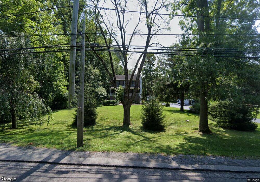
1072 W King Rd Malvern, PA 19355
Estimated Value: $819,000 - $916,000
6
Beds
4
Baths
3,425
Sq Ft
$256/Sq Ft
Est. Value
About This Home
This home is located at 1072 W King Rd, Malvern, PA 19355 and is currently estimated at $877,765, approximately $256 per square foot. 1072 W King Rd is a home located in Chester County with nearby schools including Sugartown Elementary School, Great Valley Middle School, and Great Valley High School.
Ownership History
Date
Name
Owned For
Owner Type
Purchase Details
Closed on
Sep 29, 1994
Sold by
Worrall Robert P
Bought by
Craig Christopher R and Craig Suzanne T
Current Estimated Value
Home Financials for this Owner
Home Financials are based on the most recent Mortgage that was taken out on this home.
Original Mortgage
$81,000
Interest Rate
8.43%
Create a Home Valuation Report for This Property
The Home Valuation Report is an in-depth analysis detailing your home's value as well as a comparison with similar homes in the area
Home Values in the Area
Average Home Value in this Area
Purchase History
| Date | Buyer | Sale Price | Title Company |
|---|---|---|---|
| Craig Christopher R | $91,000 | -- |
Source: Public Records
Mortgage History
| Date | Status | Borrower | Loan Amount |
|---|---|---|---|
| Closed | Craig Christopher R | $81,000 |
Source: Public Records
Tax History Compared to Growth
Tax History
| Year | Tax Paid | Tax Assessment Tax Assessment Total Assessment is a certain percentage of the fair market value that is determined by local assessors to be the total taxable value of land and additions on the property. | Land | Improvement |
|---|---|---|---|---|
| 2025 | $6,444 | $224,870 | $41,170 | $183,700 |
| 2024 | $6,444 | $224,870 | $41,170 | $183,700 |
| 2023 | $6,277 | $224,870 | $41,170 | $183,700 |
| 2022 | $6,152 | $224,870 | $41,170 | $183,700 |
| 2021 | $6,028 | $224,870 | $41,170 | $183,700 |
| 2020 | $5,928 | $224,870 | $41,170 | $183,700 |
| 2019 | $5,871 | $224,870 | $41,170 | $183,700 |
| 2018 | $5,760 | $224,870 | $41,170 | $183,700 |
| 2017 | $5,760 | $224,870 | $41,170 | $183,700 |
| 2016 | $5,048 | $224,870 | $41,170 | $183,700 |
| 2015 | $5,048 | $224,870 | $41,170 | $183,700 |
| 2014 | $5,048 | $224,870 | $41,170 | $183,700 |
Source: Public Records
Map
Nearby Homes
- 166 Sproul Rd
- 71 Rosemont Ave
- 87 Sproul Rd
- 74 Sproul Rd
- 917 Dolphin Dr
- 52 Carol Ln
- 37 Ruth Cir
- THE DELCHESTER
- THE GREENBRIAR - Millstone Circle (Gps 1010 Hershey Mill Road)
- THE WARREN -
- THE PRESCOTT - Millstone Circle ( Gps 1010 Hershey Mill Road)
- 13 Anthony Dr
- The Delchester - Rd
- THE PRESCOTT - Millstone Circle- Gps 1010 Hershey Mill Rd
- THE GREENBRIAR - Rd
- THE WARREN - Millstone Circle -Gps 1010 Hershey Mill Rd
- 110 Rossmore Dr
- 0000 NOBLE Modern Farmhouse Model
- 1237 W King Rd
- 740 Monument Rd
- 1070 W King Rd
- 1074 W King Rd
- 1068 W King Rd
- 1069 W King Rd
- 1066 W King Rd
- 418 Shirtz Farm Ln Unit THORNTON
- 1067 W King Rd
- 1060 W King Rd
- 420 Shirtz Farm Ln Unit MARSHALLTON
- 416 Shirtz Farm Ln Unit MARSHALLTON
- 1064 W King Rd
- 1059 W King Rd
- 1062 W King Rd
- 790 Bass Cove
- 1086 W King Rd
- 1086 W King Rd
- 419 Shirtz Farm Ln
- 419 Shirtz Farm Ln Unit BRANDYWINE II
- 793 Bass Cove
- 414 Shirtz Farm Ln Unit MARSHALLTON