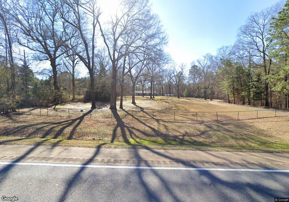
10720 Highway 82 Texarkana, AR 71854
Estimated Value: $285,000 - $309,000
--
Bed
2
Baths
2,835
Sq Ft
$106/Sq Ft
Est. Value
About This Home
This home is located at 10720 Highway 82, Texarkana, AR 71854 and is currently estimated at $299,497, approximately $105 per square foot. 10720 Highway 82 is a home located in Miller County with nearby schools including Gary E. Cobb Middle School, Genoa Central Elementary School, and Genoa Central High School.
Ownership History
Date
Name
Owned For
Owner Type
Purchase Details
Closed on
Sep 20, 2019
Sold by
Beard Lance G and Beard Yvonne
Bought by
Eaves Robert
Current Estimated Value
Home Financials for this Owner
Home Financials are based on the most recent Mortgage that was taken out on this home.
Original Mortgage
$185,576
Outstanding Balance
$162,215
Interest Rate
3.5%
Mortgage Type
FHA
Estimated Equity
$137,282
Purchase Details
Closed on
May 29, 2008
Sold by
Armstrong Charles E
Bought by
Beard Lance G and Beard Yvonne
Purchase Details
Closed on
Dec 1, 1994
Bought by
Armstrong Charles E and Armstrong Brenda
Create a Home Valuation Report for This Property
The Home Valuation Report is an in-depth analysis detailing your home's value as well as a comparison with similar homes in the area
Home Values in the Area
Average Home Value in this Area
Purchase History
| Date | Buyer | Sale Price | Title Company |
|---|---|---|---|
| Eaves Robert | $189,000 | None Available | |
| Beard Lance G | $140,000 | None Available | |
| Armstrong Charles E | $50,000 | -- |
Source: Public Records
Mortgage History
| Date | Status | Borrower | Loan Amount |
|---|---|---|---|
| Open | Eaves Robert | $185,576 |
Source: Public Records
Tax History Compared to Growth
Tax History
| Year | Tax Paid | Tax Assessment Tax Assessment Total Assessment is a certain percentage of the fair market value that is determined by local assessors to be the total taxable value of land and additions on the property. | Land | Improvement |
|---|---|---|---|---|
| 2024 | $1,670 | $38,870 | $1,590 | $37,280 |
| 2023 | $1,647 | $38,870 | $1,590 | $37,280 |
| 2022 | $1,698 | $38,870 | $1,590 | $37,280 |
| 2021 | $1,698 | $38,870 | $1,590 | $37,280 |
| 2020 | $1,698 | $38,870 | $1,590 | $37,280 |
| 2019 | $1,261 | $33,780 | $1,260 | $32,520 |
| 2018 | $1,222 | $33,780 | $1,260 | $32,520 |
| 2017 | $1,155 | $33,780 | $1,260 | $32,520 |
| 2016 | $1,090 | $27,024 | $1,260 | $25,764 |
| 2015 | $1,025 | $25,795 | $1,248 | $24,547 |
| 2014 | -- | $24,555 | $1,425 | $23,130 |
Source: Public Records
Map
Nearby Homes
- 003 Mc 77
- 001 Mc 77
- 002 Mc 77
- TBD Mc 285
- 0 Mc 285 Unit 118611
- 1147 Vanderbilt Rd
- 1539 Vanderbilt Rd
- 567 Miller County 257
- 909 Miller County 18
- 0 Mc 21 Unit 23658969
- 0 Mc 21 Unit 117795
- 400 Paige Ln
- 00 Cr 18
- 18 Pinehill Cir
- 46 Miller County 292
- 46 M C 292 Rd
- 6323 E 9th St
- TBD 6 Joey Ln
- TBD 4 Joey Ln
- TBD 3 Joey Ln
- 10766 Highway 82
- 10810 Highway 82
- 10843 Highway 82
- 10843 U S 82
- 10670 Highway 82
- 10562 Highway 82
- 10678 Highway 82
- 10678 Highway 82
- 268 Miller County 15
- 194 Miller County 15
- 226 Miller County 15
- 336 Miller County 15
- 65 Miller County 15
- 243 Miller County 15
- 21107 Highway 82
- 11087 Highway 82
- 343 Miller County 15
- 10600 U S 82
- 11132 Highway 82
- 450 Miller County 15
