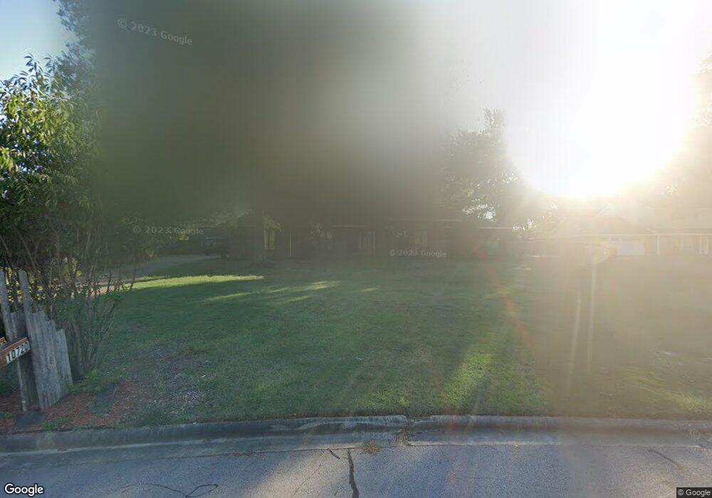
10720 Hunters Point Rd Fort Smith, AR 72903
Estimated Value: $338,000 - $461,000
--
Bed
3
Baths
3,036
Sq Ft
$130/Sq Ft
Est. Value
About This Home
This home is located at 10720 Hunters Point Rd, Fort Smith, AR 72903 and is currently estimated at $394,186, approximately $129 per square foot. 10720 Hunters Point Rd is a home located in Sebastian County with nearby schools including John P. Woods Elementary School, L.A. Chaffin Junior High School, and Southside High School.
Ownership History
Date
Name
Owned For
Owner Type
Purchase Details
Closed on
Feb 18, 2015
Sold by
Scott Harold Lindley
Bought by
Scott Harold L
Current Estimated Value
Purchase Details
Closed on
May 7, 2010
Sold by
Sudar Douglas K and Sudar Rachel Lee
Bought by
Scott Harold Lindley
Home Financials for this Owner
Home Financials are based on the most recent Mortgage that was taken out on this home.
Original Mortgage
$150,000
Interest Rate
4.93%
Mortgage Type
New Conventional
Purchase Details
Closed on
Sep 29, 1988
Bought by
Griffin Stephen A
Purchase Details
Closed on
Jun 3, 1981
Bought by
Griffin Stephen A and Griffin Mary K
Purchase Details
Closed on
Jun 10, 1976
Bought by
Vance Edward H and Vance Shirley A
Create a Home Valuation Report for This Property
The Home Valuation Report is an in-depth analysis detailing your home's value as well as a comparison with similar homes in the area
Home Values in the Area
Average Home Value in this Area
Purchase History
| Date | Buyer | Sale Price | Title Company |
|---|---|---|---|
| Scott Harold L | -- | None Available | |
| Scott Harold Lindley | $275,000 | None Available | |
| Griffin Stephen A | -- | -- | |
| Griffin Stephen A | $32,700 | -- | |
| Vance Edward H | $13,000 | -- |
Source: Public Records
Mortgage History
| Date | Status | Borrower | Loan Amount |
|---|---|---|---|
| Closed | Scott Harold Lindley | $150,000 |
Source: Public Records
Tax History Compared to Growth
Tax History
| Year | Tax Paid | Tax Assessment Tax Assessment Total Assessment is a certain percentage of the fair market value that is determined by local assessors to be the total taxable value of land and additions on the property. | Land | Improvement |
|---|---|---|---|---|
| 2024 | $2,870 | $54,660 | $11,600 | $43,060 |
| 2023 | $2,748 | $54,660 | $11,600 | $43,060 |
| 2022 | $2,798 | $54,660 | $11,600 | $43,060 |
| 2021 | $2,798 | $54,660 | $11,600 | $43,060 |
| 2020 | $2,669 | $54,660 | $11,600 | $43,060 |
| 2019 | $2,524 | $49,930 | $11,600 | $38,330 |
| 2018 | $2,549 | $49,930 | $11,600 | $38,330 |
| 2017 | $2,271 | $49,930 | $11,600 | $38,330 |
| 2016 | $2,621 | $49,930 | $11,600 | $38,330 |
| 2015 | $2,271 | $49,930 | $11,600 | $38,330 |
| 2014 | $2,405 | $50,385 | $7,500 | $42,885 |
Source: Public Records
Map
Nearby Homes
- 10716 Hunters Point Rd
- 10724 Hunters Point Rd
- 3509 Meandering Ct
- 10512 Meandering Ct
- 10717 Hunters Point Rd
- 10712 Hunters Point Rd
- 3505 Meandering Ct
- 10728 Hunters Point Rd
- 10723 Hunters Point Rd
- 10711 Hunters Point Rd
- 3501 Meandering Ct
- 10508 Meandering Ct
- 10708 Hunters Point Rd
- 10801 Hunters Point Rd
- 10509 Meandering Ct
- 3409 Meandering Ct
- 10707 Hunters Point Rd
- 10800 Hunters Point Rd
- 10504 Meandering Ct
- 10504 Meandering Ct