10720 Jeff Hamilton Rd Mobile, AL 36695
Outer West Mobile NeighborhoodEstimated Value: $343,453 - $398,000
3
Beds
2
Baths
2,348
Sq Ft
$157/Sq Ft
Est. Value
About This Home
This home is located at 10720 Jeff Hamilton Rd, Mobile, AL 36695 and is currently estimated at $367,613, approximately $156 per square foot. 10720 Jeff Hamilton Rd is a home located in Mobile County with nearby schools including Hutchens Elementary School, Dawes Intermediate School, and Bernice J Causey Middle School.
Ownership History
Date
Name
Owned For
Owner Type
Purchase Details
Closed on
Mar 30, 2022
Sold by
Finch Steven R
Bought by
Finch Steven R and Finch Nga Thuy
Current Estimated Value
Purchase Details
Closed on
Feb 21, 2011
Sold by
Willman Kimberly Michelle Loewen
Bought by
Finch Steven R
Home Financials for this Owner
Home Financials are based on the most recent Mortgage that was taken out on this home.
Original Mortgage
$243,600
Interest Rate
4.66%
Mortgage Type
VA
Purchase Details
Closed on
Jul 30, 2010
Sold by
Willman Kimberly Michelle Loewen and Loewen Shelby Duke
Bought by
Willman Kimberly Michelle Loewen
Create a Home Valuation Report for This Property
The Home Valuation Report is an in-depth analysis detailing your home's value as well as a comparison with similar homes in the area
Home Values in the Area
Average Home Value in this Area
Purchase History
| Date | Buyer | Sale Price | Title Company |
|---|---|---|---|
| Finch Steven R | $107,050 | Gulf Coast Attorneys Llc | |
| Finch Steven R | $255,000 | Surety Land Title Inc | |
| Willman Kimberly Michelle Loewen | -- | None Available |
Source: Public Records
Mortgage History
| Date | Status | Borrower | Loan Amount |
|---|---|---|---|
| Previous Owner | Finch Steven R | $243,600 |
Source: Public Records
Tax History Compared to Growth
Tax History
| Year | Tax Paid | Tax Assessment Tax Assessment Total Assessment is a certain percentage of the fair market value that is determined by local assessors to be the total taxable value of land and additions on the property. | Land | Improvement |
|---|---|---|---|---|
| 2024 | $1,541 | $31,690 | $3,110 | $28,580 |
| 2023 | $1,541 | $23,940 | $3,110 | $20,830 |
| 2022 | $911 | $20,140 | $2,730 | $17,410 |
| 2021 | $972 | $21,410 | $4,020 | $17,390 |
| 2020 | $993 | $21,860 | $4,020 | $17,840 |
| 2019 | $899 | $19,900 | $4,020 | $15,880 |
| 2018 | $919 | $20,320 | $0 | $0 |
| 2017 | $1,018 | $20,920 | $0 | $0 |
| 2016 | $967 | $21,320 | $0 | $0 |
| 2013 | $923 | $19,520 | $0 | $0 |
Source: Public Records
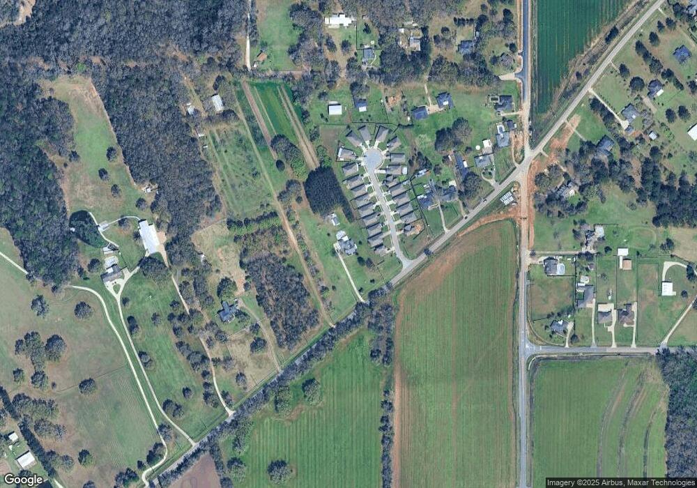
Map
Nearby Homes
- 0 Deer Crest Dr Unit 7657123
- 0 Deer Crest Dr Unit 7552478
- 10351 Jeff Hamilton Rd
- 10482 Ellenton W
- 10506 Ellenton W
- 10595 Lowell St W
- 10565 Lowell St W
- 10575 Lowell St W
- 10585 Lowell St W
- 10494 Ellenton W
- The Lakeside Plan at Rossfield
- The Freeport Plan at Rossfield
- The Aria Plan at Rossfield
- The Cairn Plan at Rossfield
- The Denton Plan at Rossfield
- The Booth Plan at Rossfield
- 3050 Jersey Dr W
- 10414 Lowell St E
- 10469 Fletcher Terrace
- 10404 Lowell St E
- 3056 Notsram Ct
- 3062 Notsram Ct
- 3050 Notsram Ct
- 3044 Notsram Ct
- 3038 Notsram Ct
- 3032 Notsram Ct
- 8 Notsram Ct
- 3026 Notsram Ct
- 3067 Notsram Ct
- 3020 Notsram Ct
- 3059 Notsram Ct
- 3051 Notsram Ct
- 3043 Notsram Ct
- 3035 Notsram Ct
- 3014 Notsram Ct
- 3027 Notsram Ct
- 3021 Notsram Ct
- 3008 Notsram Ct
- 10670 Jeff Hamilton Rd
- 10670 Jeff Hamilton Rd