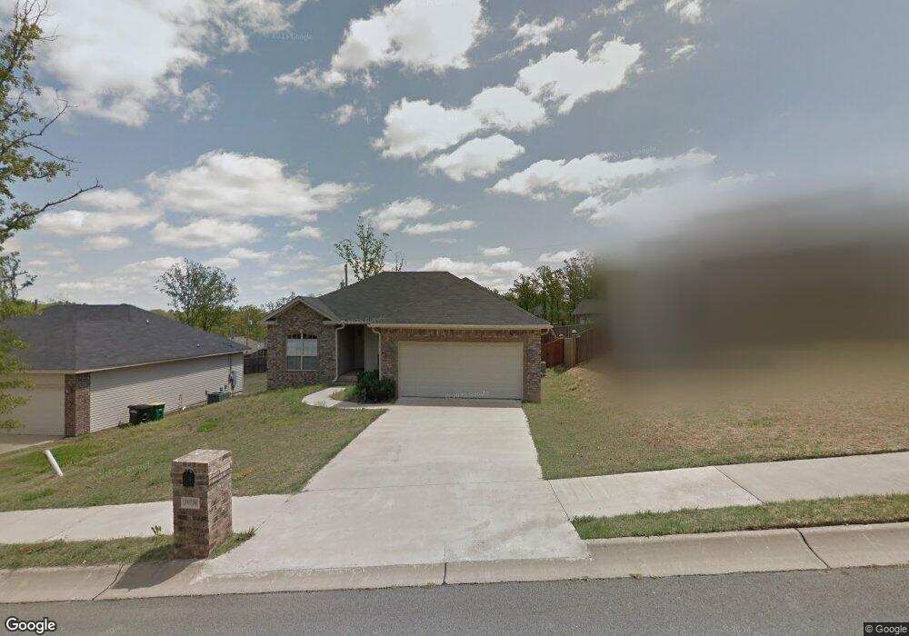
10720 Misty Ridge Dr Sherwood, AR 72120
Estimated Value: $222,000 - $231,818
--
Bed
2
Baths
1,498
Sq Ft
$151/Sq Ft
Est. Value
About This Home
This home is located at 10720 Misty Ridge Dr, Sherwood, AR 72120 and is currently estimated at $225,955, approximately $150 per square foot. 10720 Misty Ridge Dr is a home located in Pulaski County with nearby schools including Sylvan Hills Elementary School, Sylvan Hills Middle School, and Sylvan Hills High School.
Ownership History
Date
Name
Owned For
Owner Type
Purchase Details
Closed on
May 19, 2009
Sold by
Nuage Residential Contractors Llc
Bought by
Brown Roderick R
Current Estimated Value
Home Financials for this Owner
Home Financials are based on the most recent Mortgage that was taken out on this home.
Original Mortgage
$150,364
Outstanding Balance
$94,543
Interest Rate
4.84%
Mortgage Type
VA
Estimated Equity
$131,412
Purchase Details
Closed on
Jan 30, 2009
Sold by
Winrock Enterprises Inc
Bought by
Nuage Residential Contractors Llc
Home Financials for this Owner
Home Financials are based on the most recent Mortgage that was taken out on this home.
Original Mortgage
$114,918
Interest Rate
5.17%
Mortgage Type
Construction
Create a Home Valuation Report for This Property
The Home Valuation Report is an in-depth analysis detailing your home's value as well as a comparison with similar homes in the area
Home Values in the Area
Average Home Value in this Area
Purchase History
| Date | Buyer | Sale Price | Title Company |
|---|---|---|---|
| Brown Roderick R | $148,000 | First National Title Company | |
| Nuage Residential Contractors Llc | $26,000 | First National Title |
Source: Public Records
Mortgage History
| Date | Status | Borrower | Loan Amount |
|---|---|---|---|
| Open | Brown Roderick R | $150,364 | |
| Previous Owner | Nuage Residential Contractors Llc | $114,918 |
Source: Public Records
Tax History Compared to Growth
Tax History
| Year | Tax Paid | Tax Assessment Tax Assessment Total Assessment is a certain percentage of the fair market value that is determined by local assessors to be the total taxable value of land and additions on the property. | Land | Improvement |
|---|---|---|---|---|
| 2025 | $1,860 | $37,760 | $7,600 | $30,160 |
| 2024 | $1,705 | $37,760 | $7,600 | $30,160 |
| 2023 | $1,705 | $37,760 | $7,600 | $30,160 |
| 2022 | $1,814 | $37,760 | $7,600 | $30,160 |
| 2021 | $1,693 | $29,740 | $5,500 | $24,240 |
| 2020 | $1,311 | $29,740 | $5,500 | $24,240 |
| 2019 | $1,311 | $29,740 | $5,500 | $24,240 |
| 2018 | $1,336 | $29,740 | $5,500 | $24,240 |
| 2017 | $1,331 | $29,740 | $5,500 | $24,240 |
| 2016 | $1,354 | $30,170 | $5,600 | $24,570 |
| 2015 | $1,533 | $30,170 | $5,600 | $24,570 |
| 2014 | $1,533 | $30,170 | $5,600 | $24,570 |
Source: Public Records
Map
Nearby Homes
- 1909 Windridge Ct
- Lot 30 Hidden Creek Dr
- 10732 Rocky Creek Dr
- 10724 Rocky Creek Dr
- 2520 Austin Oaks Dr
- 519 Hillcrest Rd
- 10114 Hidden Cir
- 25 Acres Denton Rd
- 222 Gragson Ave
- 109 Pamela Ln
- 616 E Woodruff Ave
- 9833 Oak Heights Dr
- 4 Property Package
- 597 Valley Oak Dr
- 564 Valley Oak Dr
- 2117 Ingleside Dr
- 3073 Woodruff Creek Dr
- 9909 Oakdale Rd
- 14 Pamela Ln
- 2032 Miramonte Dr
- 10800 Misty Ridge Dr
- 10716 Misty Ridge Dr
- 10712 Misty Ridge Dr
- 0 Misty Ridge Rd Unit 16023431
- 10804 Misty Ridge Dr
- 1905 Windridge Ct
- 1908 Windridge Ct
- 10717 Misty Ridge Dr
- 10721 Misty Ridge Dr
- 10713 Misty Ridge Dr
- 10801 Misty Ridge Dr
- 10808 Misty Ridge Dr
- 10784 Stoneridge Dr
- 1901 Windridge Ct
- 10772 Stoneridge Dr
- 10709 Misty Ridge Dr
- 0 Misty Ridge Dr Unit 17034728
- 10915 Windridge Dr
- 10805 Misty Ridge Dr
- 10911 Windridge Dr