10720 Thatcher Way Unit V Duluth, GA 30097
Estimated Value: $773,000 - $893,000
4
Beds
4
Baths
4,057
Sq Ft
$204/Sq Ft
Est. Value
About This Home
This home is located at 10720 Thatcher Way Unit V, Duluth, GA 30097 and is currently estimated at $829,401, approximately $204 per square foot. 10720 Thatcher Way Unit V is a home located in Fulton County with nearby schools including Medlock Bridge Elementary School, River Trail Middle School, and Northview High School.
Ownership History
Date
Name
Owned For
Owner Type
Purchase Details
Closed on
Sep 17, 2002
Sold by
Malach John J and Malach June D
Bought by
Stalheim Martin P and Stalheim Denise M
Current Estimated Value
Home Financials for this Owner
Home Financials are based on the most recent Mortgage that was taken out on this home.
Original Mortgage
$265,600
Outstanding Balance
$103,968
Interest Rate
5.38%
Mortgage Type
New Conventional
Estimated Equity
$725,433
Create a Home Valuation Report for This Property
The Home Valuation Report is an in-depth analysis detailing your home's value as well as a comparison with similar homes in the area
Home Values in the Area
Average Home Value in this Area
Purchase History
| Date | Buyer | Sale Price | Title Company |
|---|---|---|---|
| Stalheim Martin P | $332,000 | -- |
Source: Public Records
Mortgage History
| Date | Status | Borrower | Loan Amount |
|---|---|---|---|
| Open | Stalheim Martin P | $265,600 |
Source: Public Records
Tax History Compared to Growth
Tax History
| Year | Tax Paid | Tax Assessment Tax Assessment Total Assessment is a certain percentage of the fair market value that is determined by local assessors to be the total taxable value of land and additions on the property. | Land | Improvement |
|---|---|---|---|---|
| 2025 | $4,574 | $318,080 | $61,520 | $256,560 |
| 2023 | $8,314 | $294,560 | $39,560 | $255,000 |
| 2022 | $4,378 | $235,680 | $32,640 | $203,040 |
| 2021 | $4,329 | $191,240 | $37,400 | $153,840 |
| 2020 | $4,351 | $168,680 | $36,960 | $131,720 |
| 2019 | $509 | $165,720 | $36,320 | $129,400 |
| 2018 | $4,750 | $161,840 | $35,480 | $126,360 |
| 2017 | $4,159 | $134,360 | $21,800 | $112,560 |
| 2016 | $4,091 | $134,360 | $21,800 | $112,560 |
| 2015 | $4,136 | $134,360 | $21,800 | $112,560 |
| 2014 | $4,279 | $134,360 | $21,800 | $112,560 |
Source: Public Records
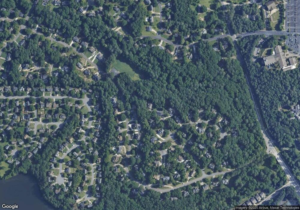
Map
Nearby Homes
- 5425 Taylor Rd Unit 2
- 11035 Parsons Rd
- 11041 Parsons Rd
- 465 Mikasa Dr
- 5765 Bailey Ridge Ct
- 11150 Highfield Chase Dr
- 11235 Surrey Park Trail
- 5680 Abbotts Bridge Rd
- 5640 Sandown Way
- 6365 Murets Rd
- 5690 Abbotts Bridge Rd
- 10595 Highgate Manor Ct
- 5060 Cinnabar Dr
- 220 Magnolia Tree Ct
- 10950 Glenhurst Pass
- 11260 Donnington Dr
- 5022 Anclote Dr
- 5400 Hampstead Way
- 10710 Thatcher Way
- 5410 Hampstead Way
- 5390 Hampstead Way Unit 5
- 10725 Thatcher Way
- 5420 Hampstead Way
- 0 Hampstead Way Unit 7020087
- 0 Hampstead Way
- 10715 Thatcher Way Unit 5
- 5420 Heathridge Terrace
- 5430 Hampstead Way
- 10705 Thatcher Way
- 5410 Heathridge Terrace
- 5395 Hampstead Way
- 5385 Hampstead Way
- 5405 Hampstead Way Unit 5
- 5440 Hampstead Way
- 5415 Hampstead Way
- 5450 Heathridge Terrace
- 0 Heathridge Terrace Unit 7495665