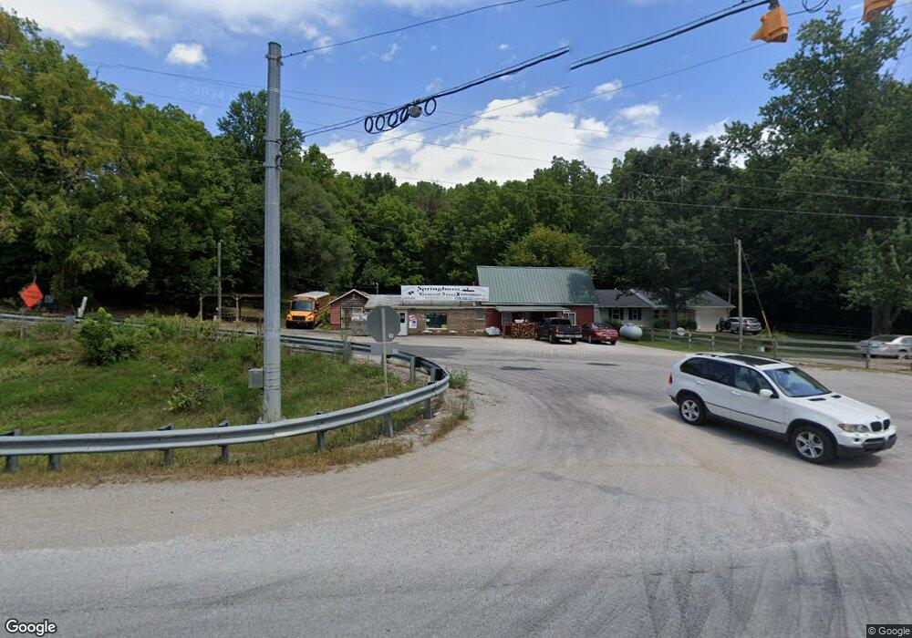
10721 S Springboro Rd Brookston, IN 47923
Estimated Value: $210,206 - $359,000
2
Beds
1
Bath
1,140
Sq Ft
$239/Sq Ft
Est. Value
About This Home
This home is located at 10721 S Springboro Rd, Brookston, IN 47923 and is currently estimated at $272,302, approximately $238 per square foot. 10721 S Springboro Rd is a home with nearby schools including Frontier Elementary School and Frontier Junior/Senior High School.
Ownership History
Date
Name
Owned For
Owner Type
Purchase Details
Closed on
Nov 4, 2019
Sold by
Smith Ronnda L
Bought by
Blankenship Troy
Current Estimated Value
Home Financials for this Owner
Home Financials are based on the most recent Mortgage that was taken out on this home.
Original Mortgage
$200,000
Outstanding Balance
$92,380
Interest Rate
3.7%
Mortgage Type
Construction
Estimated Equity
$179,922
Purchase Details
Closed on
Nov 3, 2016
Sold by
Smith Ronnda L
Bought by
Blankenship Paula and Blankenship Troy
Purchase Details
Closed on
Oct 27, 2015
Sold by
Fritts Donald E
Bought by
Smith Ronnda L
Create a Home Valuation Report for This Property
The Home Valuation Report is an in-depth analysis detailing your home's value as well as a comparison with similar homes in the area
Home Values in the Area
Average Home Value in this Area
Purchase History
| Date | Buyer | Sale Price | Title Company |
|---|---|---|---|
| Blankenship Troy | $90,000 | White Cnty Abs & Title | |
| Blankenship Paula | $150,000 | Springboro General Store Llc | |
| Smith Ronnda L | $120,000 | Columbia Title Inc |
Source: Public Records
Mortgage History
| Date | Status | Borrower | Loan Amount |
|---|---|---|---|
| Open | Blankenship Troy | $200,000 |
Source: Public Records
Tax History Compared to Growth
Tax History
| Year | Tax Paid | Tax Assessment Tax Assessment Total Assessment is a certain percentage of the fair market value that is determined by local assessors to be the total taxable value of land and additions on the property. | Land | Improvement |
|---|---|---|---|---|
| 2024 | $926 | $164,900 | $29,600 | $135,300 |
| 2023 | $1,642 | $165,400 | $29,600 | $135,800 |
| 2022 | $1,598 | $149,900 | $29,600 | $120,300 |
| 2021 | $1,266 | $112,800 | $29,600 | $83,200 |
| 2020 | $1,310 | $112,800 | $29,600 | $83,200 |
| 2019 | $1,287 | $113,000 | $29,600 | $83,400 |
| 2018 | $1,300 | $113,100 | $29,600 | $83,500 |
| 2017 | $1,934 | $110,200 | $29,600 | $80,600 |
| 2016 | $1,218 | $110,300 | $29,600 | $80,700 |
| 2014 | $1,349 | $116,500 | $29,600 | $86,900 |
Source: Public Records
Map
Nearby Homes
- 10360 S Wildwood Ct
- 11503 W Tecumseh Bend Rd
- 12814 W Bicycle Bridge Rd
- Lot 1 S 300 E
- 6369 N 1225 West Crossroad
- Lot 4 E 850 S
- Lot 6 E 850 S
- Lot 3 E 850 S
- Lot 5 E 850 S
- Lot 2 E 850 S
- Lot 10 E 850 S
- 2801 N 930 W Unit 10
- 9331 W 310 N
- 1579 W Herring Way
- 2075 N 925 W
- 9120 Herring Ln
- 9170 Herring Ln
- 4139 N 900 W
- 512 E 4th St
- 1158 N Brewer Ave
- 10727 S Springboro Rd
- 10783 S Springboro Rd
- 10464 S Black Locust Ct
- 10277 S Springboro Rd
- 10837 S Springboro Rd
- 10462 S Black Locust Ct
- 10467 S Black Locust Ct
- 10918 S Springboro Rd
- 10459 S Black Locust Ct
- 10448 S Springboro Rd
- 10448 S Black Locust Ct
- 10440 S Springboro Rd
- 10413 S Springboro Rd
- 10263 S Springboro Rd
- 10426 S Springboro Rd
- 10986 S Springboro Rd
- 10441 S Black Locust Ct
- 12611 W State Road 18
- 10402 S Springboro Rd
- 10436 S Black Locust Ct