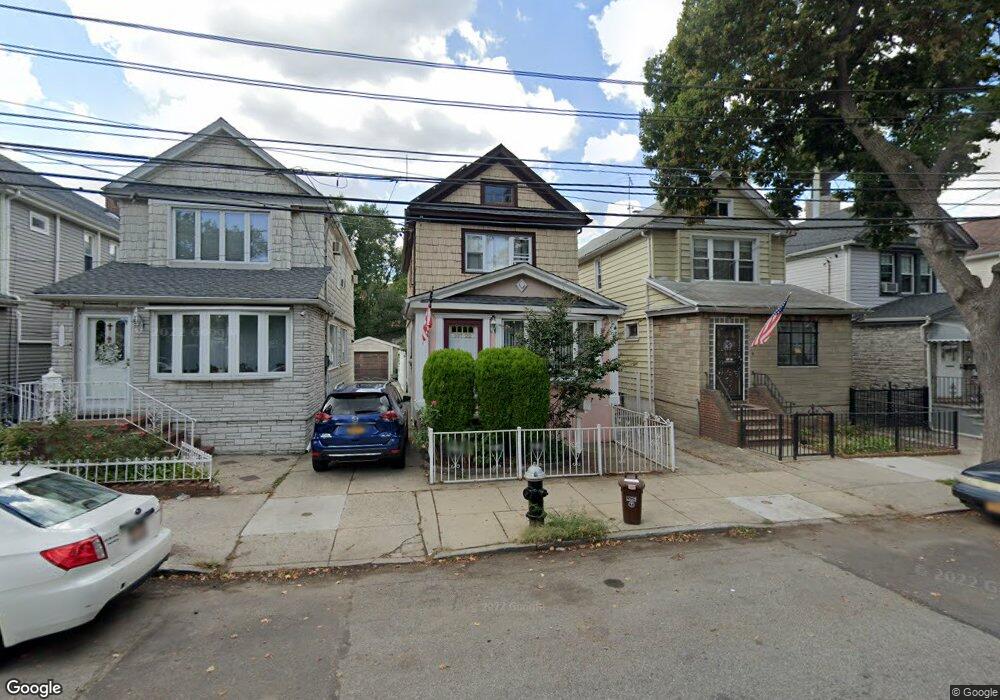
10722 101st St Ozone Park, NY 11417
South Ozone Park NeighborhoodEstimated Value: $633,000 - $757,000
--
Bed
--
Bath
1,280
Sq Ft
$534/Sq Ft
Est. Value
About This Home
This home is located at 10722 101st St, Ozone Park, NY 11417 and is currently estimated at $682,998, approximately $533 per square foot. 10722 101st St is a home located in Queens County with nearby schools including P.S. 108 - Capt. Vincent G. Fowler, M.S.137 America's School of Heroes, and John Adams High School.
Ownership History
Date
Name
Owned For
Owner Type
Purchase Details
Closed on
Jun 28, 2006
Sold by
Ali Bibi S and Ali Faizue
Bought by
Kar Jolly and Kar Pradip
Current Estimated Value
Home Financials for this Owner
Home Financials are based on the most recent Mortgage that was taken out on this home.
Original Mortgage
$380,000
Interest Rate
6.83%
Mortgage Type
Purchase Money Mortgage
Purchase Details
Closed on
Dec 24, 2003
Sold by
Ali Astraf and Ali Bibi S
Bought by
Ali Bibi S and Ali Faizue
Purchase Details
Closed on
Aug 14, 1996
Sold by
Shafeek Bibi Shyra
Bought by
Ali Astraf and Ali Bibi S
Home Financials for this Owner
Home Financials are based on the most recent Mortgage that was taken out on this home.
Original Mortgage
$148,500
Interest Rate
7.9%
Create a Home Valuation Report for This Property
The Home Valuation Report is an in-depth analysis detailing your home's value as well as a comparison with similar homes in the area
Home Values in the Area
Average Home Value in this Area
Purchase History
| Date | Buyer | Sale Price | Title Company |
|---|---|---|---|
| Kar Jolly | $475,000 | -- | |
| Kar Jolly | $475,000 | -- | |
| Ali Bibi S | -- | -- | |
| Ali Bibi S | -- | -- | |
| Ali Astraf | $165,000 | Commonwealth Land Title Ins | |
| Ali Astraf | $165,000 | Commonwealth Land Title Ins |
Source: Public Records
Mortgage History
| Date | Status | Borrower | Loan Amount |
|---|---|---|---|
| Previous Owner | Kar Jolly | $380,000 | |
| Previous Owner | Ali Astraf | $148,500 | |
| Closed | Ali Bibi S | $0 | |
| Closed | Kar Jolly | $47,450 |
Source: Public Records
Tax History Compared to Growth
Tax History
| Year | Tax Paid | Tax Assessment Tax Assessment Total Assessment is a certain percentage of the fair market value that is determined by local assessors to be the total taxable value of land and additions on the property. | Land | Improvement |
|---|---|---|---|---|
| 2025 | $4,640 | $25,940 | $7,276 | $18,664 |
| 2024 | $4,652 | $24,504 | $7,651 | $16,853 |
| 2023 | $4,382 | $23,216 | $6,975 | $16,241 |
| 2022 | $2,997 | $43,440 | $12,420 | $31,020 |
| 2021 | $3,225 | $38,100 | $12,420 | $25,680 |
| 2020 | $3,187 | $35,160 | $12,420 | $22,740 |
| 2019 | $3,979 | $35,220 | $12,420 | $22,800 |
| 2018 | $3,646 | $19,347 | $7,899 | $11,448 |
| 2017 | $3,425 | $18,270 | $10,221 | $8,049 |
| 2016 | $3,342 | $18,270 | $10,221 | $8,049 |
| 2015 | $1,859 | $18,014 | $10,032 | $7,982 |
| 2014 | $1,859 | $17,017 | $9,934 | $7,083 |
Source: Public Records
Map
Nearby Homes
- 107-16 103rd St
- 132-01 100th St
- 10317 Plattwood Ave
- 10010 133rd Ave
- 10723 96th St
- 10719 96th St
- 10370 103rd St
- 103-58 103rd St
- 13318 Centreville St
- 103-50 102nd St
- 132-11 Centreville St
- 105-02 Liberty Ave
- 103-37 102nd St
- 10330 102nd St
- 10349A 104th St
- 106-38 95th St
- 9426 Sutter Ave
- 103-18 103rd St
- 10417 106th St
- 10620 109th Ave
- 10720 101st St
- 10726 101st St
- 107-26 101st St
- 10718 101st St
- 10728 101st St
- 10730 101st St
- 10716 101st St
- 107-30 101st St
- 10734 101st St
- 10712 101st St
- 10735 100th St
- 10736 101st St
- 10737 100th St
- 10739 100th St
- 10002 Rockaway Blvd
- 107-37 100th St
- 10740 101st St
- 107-36 101st St
- 10741 100th St
- 10743 100th St