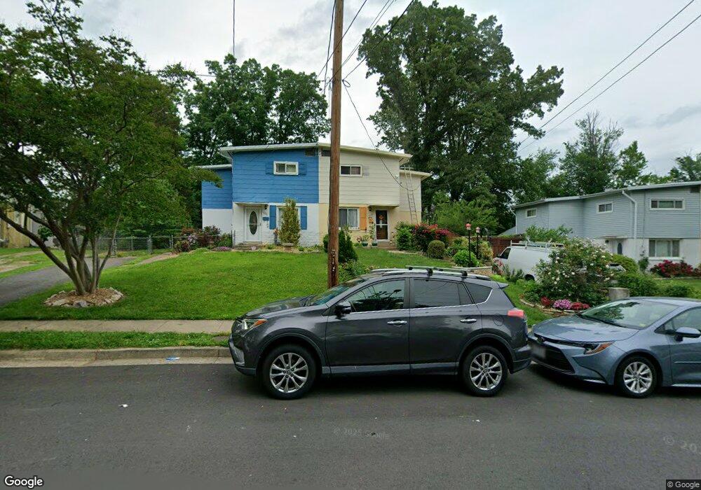
10722 Maple St Fairfax, VA 22030
Estimated Value: $485,000 - $564,507
3
Beds
2
Baths
1,166
Sq Ft
$438/Sq Ft
Est. Value
About This Home
This home is located at 10722 Maple St, Fairfax, VA 22030 and is currently estimated at $510,377, approximately $437 per square foot. 10722 Maple St is a home located in Fairfax City with nearby schools including Daniels Run Elementary School, Johnson Middle School, and Fairfax High.
Ownership History
Date
Name
Owned For
Owner Type
Purchase Details
Closed on
Sep 3, 2003
Sold by
Linares Jose L
Bought by
Pinto Aquino R
Current Estimated Value
Home Financials for this Owner
Home Financials are based on the most recent Mortgage that was taken out on this home.
Original Mortgage
$189,050
Outstanding Balance
$86,371
Interest Rate
6.02%
Mortgage Type
New Conventional
Estimated Equity
$424,006
Purchase Details
Closed on
Nov 27, 2001
Sold by
Levinson Elizabeth
Bought by
Linares Lila
Home Financials for this Owner
Home Financials are based on the most recent Mortgage that was taken out on this home.
Original Mortgage
$129,050
Interest Rate
6.66%
Create a Home Valuation Report for This Property
The Home Valuation Report is an in-depth analysis detailing your home's value as well as a comparison with similar homes in the area
Home Values in the Area
Average Home Value in this Area
Purchase History
| Date | Buyer | Sale Price | Title Company |
|---|---|---|---|
| Pinto Aquino R | $210,100 | -- | |
| Linares Lila | $143,400 | -- |
Source: Public Records
Mortgage History
| Date | Status | Borrower | Loan Amount |
|---|---|---|---|
| Open | Pinto Aquino R | $189,050 | |
| Previous Owner | Linares Lila | $129,050 |
Source: Public Records
Tax History
| Year | Tax Paid | Tax Assessment Tax Assessment Total Assessment is a certain percentage of the fair market value that is determined by local assessors to be the total taxable value of land and additions on the property. | Land | Improvement |
|---|---|---|---|---|
| 2025 | $4,782 | $437,000 | $158,000 | $279,000 |
| 2024 | $4,088 | $396,900 | $143,600 | $253,300 |
| 2023 | $4,068 | $396,900 | $143,600 | $253,300 |
| 2022 | $3,814 | $377,600 | $136,700 | $240,900 |
| 2021 | $3,753 | $349,100 | $126,600 | $222,500 |
| 2020 | $3,604 | $335,300 | $121,700 | $213,600 |
| 2019 | $3,424 | $328,400 | $119,300 | $209,100 |
| 2018 | $3,317 | $312,900 | $113,600 | $199,300 |
| 2017 | $1,595 | $300,900 | $109,200 | $191,700 |
| 2016 | $1,631 | $307,100 | $109,200 | $197,900 |
| 2015 | $3,141 | $298,600 | $100,700 | $197,900 |
| 2014 | $2,877 | $276,600 | $93,200 | $183,400 |
Source: Public Records
Map
Nearby Homes
- 10721 West Dr Unit 302
- 10634 Pocket Place
- 10505 Captain John Smith Ct
- 4038 Chestnut St
- 10570 Main St Unit 424
- 4403 Andes Dr
- 3954 Walnut St
- 3754 Mayors Way
- 10600 Springmann Dr
- 3916 Oak St
- 11012 Westmore Dr
- 10755 Fairgrounds Dr Unit 101
- 10755 Fairgrounds Dr Unit 223
- 3775 Mayors Way
- 10400 Whitehead St
- 4110 Vanderbilt Ct Unit 303
- 3757 Mayors Way
- 10328 Sager Ave Unit 217
- 10404 Forest Ave
- 10689 Fairgrounds Dr
Your Personal Tour Guide
Ask me questions while you tour the home.