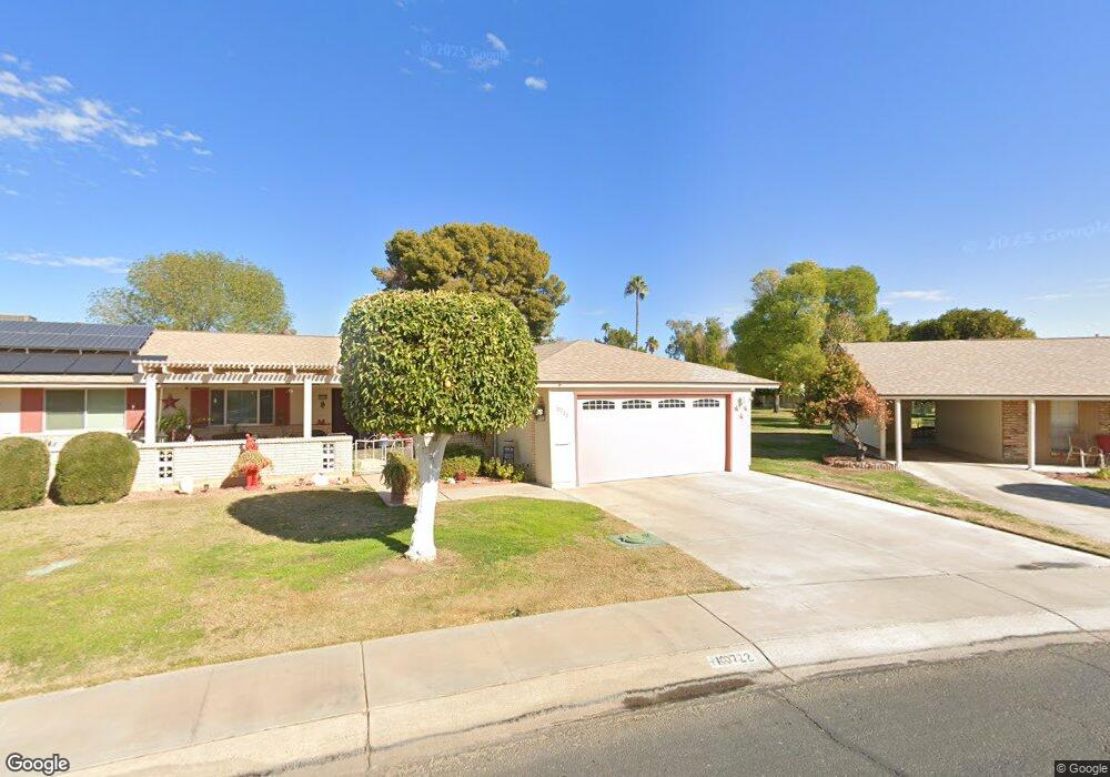
10722 W Denham Dr Sun City, AZ 85351
Estimated Value: $199,805 - $261,000
2
Beds
2
Baths
1,614
Sq Ft
$148/Sq Ft
Est. Value
About This Home
This home is located at 10722 W Denham Dr, Sun City, AZ 85351 and is currently estimated at $238,701, approximately $147 per square foot. 10722 W Denham Dr is a home located in Maricopa County with nearby schools including Desert Mirage Elementary School, Ombudsman - Northwest Charter, and Peoria Accelerated High School.
Ownership History
Date
Name
Owned For
Owner Type
Purchase Details
Closed on
Mar 27, 2009
Sold by
Machala Carl S and Machala Catherine E
Bought by
The Carl S Machala & Catherine E Machala and Machala Carl S
Current Estimated Value
Purchase Details
Closed on
Oct 11, 2005
Sold by
Goins Paul E and Goins Kathryn
Bought by
Machala Carl S and Machala Catherine E
Purchase Details
Closed on
Nov 15, 1993
Sold by
Goins
Bought by
Goins Family Trust
Create a Home Valuation Report for This Property
The Home Valuation Report is an in-depth analysis detailing your home's value as well as a comparison with similar homes in the area
Home Values in the Area
Average Home Value in this Area
Purchase History
| Date | Buyer | Sale Price | Title Company |
|---|---|---|---|
| The Carl S Machala & Catherine E Machala | -- | None Available | |
| Machala Carl S | $166,000 | All American Title Agency Ll | |
| Goins Family Trust | -- | -- |
Source: Public Records
Tax History Compared to Growth
Tax History
| Year | Tax Paid | Tax Assessment Tax Assessment Total Assessment is a certain percentage of the fair market value that is determined by local assessors to be the total taxable value of land and additions on the property. | Land | Improvement |
|---|---|---|---|---|
| 2025 | $868 | $10,604 | -- | -- |
| 2024 | $789 | $10,099 | -- | -- |
| 2023 | $789 | $19,460 | $3,890 | $15,570 |
| 2022 | $736 | $16,630 | $3,320 | $13,310 |
| 2021 | $759 | $15,250 | $3,050 | $12,200 |
| 2020 | $741 | $13,510 | $2,700 | $10,810 |
| 2019 | $731 | $12,250 | $2,450 | $9,800 |
| 2018 | $706 | $10,580 | $2,110 | $8,470 |
| 2017 | $684 | $9,470 | $1,890 | $7,580 |
| 2016 | $639 | $8,120 | $1,620 | $6,500 |
| 2015 | $606 | $7,300 | $1,460 | $5,840 |
Source: Public Records
Map
Nearby Homes
- 10732 W Denham Dr Unit 17
- 10726 W Denham Dr Unit 16
- 10731 W Mission Ln Unit 200
- 9202 N 107th Ave Unit 8
- 10707 W Mission Ln
- 10726 W Kelso Dr Unit 172
- 10816 W Venturi Dr
- 10801 W Mountain View Rd
- 10825 W Caron Dr
- 10788 W Cinnebar Ave
- 9802 N 107th Ave
- 10754 W Cinnebar Ave Unit 48
- 10758 W Cinnebar Ave Unit 47
- 9415 N 111th Ave
- 11005 W Kelso Dr
- 9614 N 110th Ave
- 9459 N 111th Ave
- 10728 W Cheryl Dr
- 10724 W Cheryl Dr
- 8800 N 107th Ave Unit 17
- 9223 N 107th Dr
- 9218 N 107th Dr Unit 210
- 10725 W Hatcher Rd Unit 74
- 10715 W Hatcher Rd
- 10736 W Denham Dr
- 10721 W Hatcher Rd Unit 73
- 10733 W Hatcher Rd Unit G
- 10711 W Hatcher Rd Unit 71
- 9215 N 107th Dr Unit 12
- 9214 N 107th Dr Unit 209
- 9232 N 107th Ave Unit 2
- 9236 N 107th Ave Unit 1
- 10737 W Denham Dr
- 10737 W Hatcher Rd Unit 76
- 9226 N 107th Ave
- 9211 N 107th Dr
- 10705 W Hatcher Rd
- 9222 N 107th Ave
- 10741 W Denham Dr
- 10741 W Hatcher Rd Unit 77