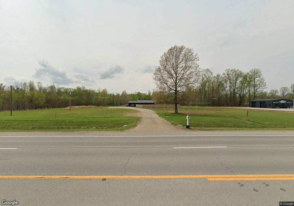
10723 Highway 49 N Brookland, AR 72417
Estimated Value: $169,000 - $289,018
--
Bed
2
Baths
1,176
Sq Ft
$195/Sq Ft
Est. Value
About This Home
This home is located at 10723 Highway 49 N, Brookland, AR 72417 and is currently estimated at $229,339, approximately $195 per square foot. 10723 Highway 49 N is a home located in Craighead County with nearby schools including Brookland Elementary School, Brookland Middle School, and Brookland Junior High School.
Ownership History
Date
Name
Owned For
Owner Type
Purchase Details
Closed on
Jan 18, 2019
Sold by
Dearin Lewis Ted and Dearin Rose Kaye
Bought by
Merila Alycia and Stroud Jeffery Oneal
Current Estimated Value
Home Financials for this Owner
Home Financials are based on the most recent Mortgage that was taken out on this home.
Original Mortgage
$221,000
Outstanding Balance
$168,412
Interest Rate
4.6%
Mortgage Type
New Conventional
Estimated Equity
$60,927
Purchase Details
Closed on
Jan 14, 2015
Bought by
Dearin Lewis Ted and Rose Kaye
Purchase Details
Closed on
Jan 22, 2010
Sold by
Cornelison Hugh and Cornelison Edna Mae
Bought by
Grimes Joel and Grimes Elizabeth
Purchase Details
Closed on
Mar 24, 1997
Bought by
Cornelison
Purchase Details
Closed on
Mar 9, 1992
Bought by
Cornelison
Create a Home Valuation Report for This Property
The Home Valuation Report is an in-depth analysis detailing your home's value as well as a comparison with similar homes in the area
Home Values in the Area
Average Home Value in this Area
Purchase History
| Date | Buyer | Sale Price | Title Company |
|---|---|---|---|
| Merila Alycia | $260,000 | None Available | |
| Dearin Lewis Ted | $165,000 | -- | |
| Grimes Joel | $121,000 | None Available | |
| Cornelison | -- | -- | |
| Cornelison | -- | -- |
Source: Public Records
Mortgage History
| Date | Status | Borrower | Loan Amount |
|---|---|---|---|
| Open | Merila Alycia | $221,000 |
Source: Public Records
Tax History Compared to Growth
Tax History
| Year | Tax Paid | Tax Assessment Tax Assessment Total Assessment is a certain percentage of the fair market value that is determined by local assessors to be the total taxable value of land and additions on the property. | Land | Improvement |
|---|---|---|---|---|
| 2025 | $1,006 | $21,359 | $6,457 | $14,902 |
| 2024 | $1,006 | $21,359 | $6,457 | $14,902 |
| 2023 | $1,007 | $21,359 | $6,457 | $14,902 |
| 2022 | $930 | $21,359 | $6,457 | $14,902 |
| 2021 | $878 | $17,020 | $5,390 | $11,630 |
| 2020 | $878 | $17,020 | $5,390 | $11,630 |
| 2019 | $503 | $17,020 | $5,390 | $11,630 |
| 2018 | $523 | $17,020 | $5,390 | $11,630 |
| 2017 | $488 | $17,020 | $5,390 | $11,630 |
| 2016 | $411 | $14,540 | $4,320 | $10,220 |
| 2015 | $411 | $14,540 | $4,320 | $10,220 |
| 2014 | $761 | $14,540 | $4,320 | $10,220 |
Source: Public Records
Map
Nearby Homes
- 0 Hwy 49 N Unit 25035379
- 11011 Highway 49 N
- 357 Cr 790 Rd
- 70 County Road 7922
- 110 County Road 7922
- Lot 4 County Road 7922
- 894 Cr 792
- 1816 N Oak St
- 1814 N Oak St
- 93 County Road 7625
- 894 County Road 792
- 210 Gulley Dr
- 610 County Road 793
- 1804 N Oak St
- 124 Gulley Dr
- 65 County Road 759
- 4 Lot 4 Rolling Meadows
- 7 Lot 7 Rolling Meadows
- 12 Lot 12 Rolling Meadows
- 6 Lot 6 Rolling Meadows
- 10729 Highway 49 N
- 10787 U S 49
- 10787 Highway 49 N
- 10729 U S 49
- 10732 Highway 49 N
- 10211 Highway 49b N
- 10215 Highway 49b N
- 0 Hwy 49 N Unit 10111231
- 0 Hwy 49 N Unit 15006067
- 10772 Highway 49 N
- 10792 Highway 49 N
- N Highway 49
- 10652 Highway 49 N
- 0 Highway 49 Unit 10114078
- 0 Highway 49 Unit 10110779
- 0 Highway 49 Unit 10110297
- 10589 Highway 49 N
- 10589 Highway 49 N
- 10834 Highway 49 N
- 10834 U S 49