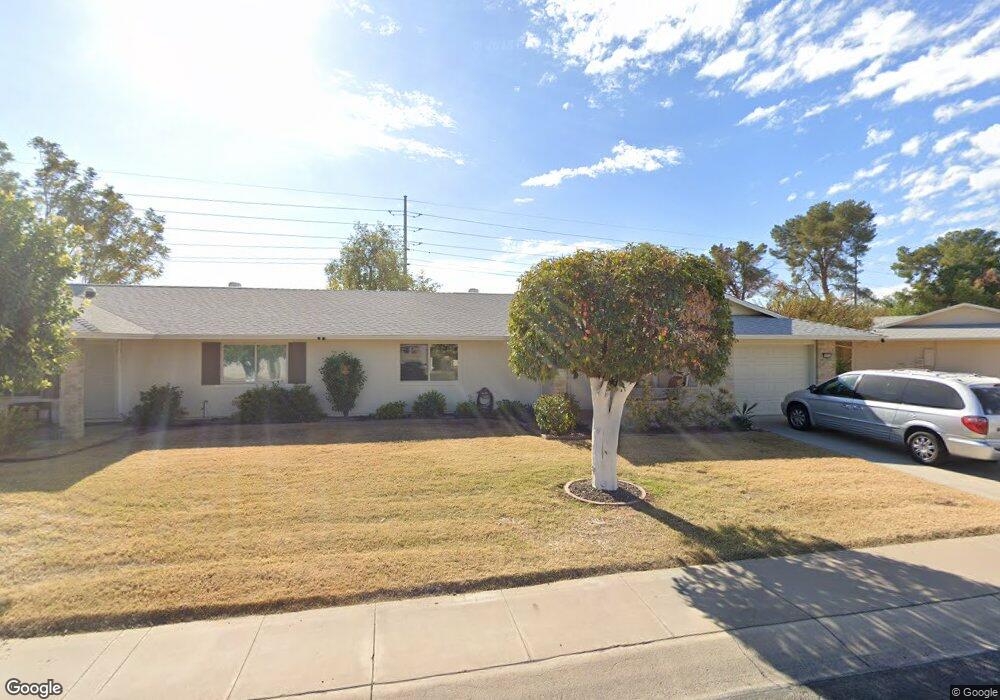
10723 W Caron Dr Sun City, AZ 85351
Estimated Value: $200,620 - $258,000
--
Bed
2
Baths
1,492
Sq Ft
$156/Sq Ft
Est. Value
About This Home
This home is located at 10723 W Caron Dr, Sun City, AZ 85351 and is currently estimated at $232,905, approximately $156 per square foot. 10723 W Caron Dr is a home located in Maricopa County with nearby schools including Ombudsman - Northwest Charter and Peoria Accelerated High School.
Ownership History
Date
Name
Owned For
Owner Type
Purchase Details
Closed on
Feb 22, 2024
Sold by
Ulrey Charles L and Ulrey Brenda A
Bought by
Ulrey Charles L and Ulrey Brenda A
Current Estimated Value
Purchase Details
Closed on
Jan 11, 2024
Sold by
Ulrey Charles L and Ulrey Brenda A
Bought by
Ulrey Charles L and Ulrey Brenda A
Purchase Details
Closed on
Mar 8, 2013
Sold by
Robinson V Louise and Living Trust Of Don A Robinson
Bought by
Ulrey Charles L and Ulrey Brenda A
Purchase Details
Closed on
Nov 23, 1999
Sold by
Robinson Don A and Robinson Louise V
Bought by
Robinson Don A and Robinson Louise V
Create a Home Valuation Report for This Property
The Home Valuation Report is an in-depth analysis detailing your home's value as well as a comparison with similar homes in the area
Home Values in the Area
Average Home Value in this Area
Purchase History
| Date | Buyer | Sale Price | Title Company |
|---|---|---|---|
| Ulrey Charles L | -- | None Listed On Document | |
| Ulrey Charles L | -- | None Listed On Document | |
| Ulrey Charles L | -- | None Listed On Document | |
| Ulrey Charles L | -- | None Available | |
| Robinson Don A | -- | -- |
Source: Public Records
Tax History Compared to Growth
Tax History
| Year | Tax Paid | Tax Assessment Tax Assessment Total Assessment is a certain percentage of the fair market value that is determined by local assessors to be the total taxable value of land and additions on the property. | Land | Improvement |
|---|---|---|---|---|
| 2025 | $864 | $9,629 | -- | -- |
| 2024 | $789 | $9,171 | -- | -- |
| 2023 | $789 | $17,730 | $3,540 | $14,190 |
| 2022 | $739 | $15,470 | $3,090 | $12,380 |
| 2021 | $755 | $14,260 | $2,850 | $11,410 |
| 2020 | $738 | $12,570 | $2,510 | $10,060 |
| 2019 | $728 | $11,420 | $2,280 | $9,140 |
| 2018 | $704 | $9,960 | $1,990 | $7,970 |
| 2017 | $683 | $9,030 | $1,800 | $7,230 |
| 2016 | $641 | $7,660 | $1,530 | $6,130 |
| 2015 | $606 | $7,120 | $1,420 | $5,700 |
Source: Public Records
Map
Nearby Homes
- 10825 W Caron Dr
- 10726 W Kelso Dr Unit 172
- 10731 W Mission Ln Unit 200
- 10707 W Mission Ln
- 9202 N 107th Ave Unit 8
- 10726 W Denham Dr Unit 16
- 10732 W Denham Dr Unit 17
- 8800 N 107th Ave Unit 17
- 8800 N 107th Ave Unit 19
- 8800 N 107th Ave Unit 52
- 8803 N 105th Dr
- 11005 W Kelso Dr
- 10816 W Venturi Dr
- 10603 W Ruth Ave
- 10801 W Mountain View Rd
- 8582 N 107th Ln
- 9415 N 111th Ave
- 10512 W Ruth Ave
- 9459 N 111th Ave
- 10788 W Cinnebar Ave
- 10719 W Caron Dr
- 10731 W Caron Dr
- 10715 W Caron Dr
- 10735 W Caron Dr Unit 9
- 10722 W Caron Dr
- 10726 W Caron Dr Unit 128
- 10711 W Caron Dr
- 10718 W Caron Dr
- 10732 W Caron Dr Unit 129
- 10714 W Caron Dr
- 10736 W Caron Dr
- 10741 W Caron Dr Unit 9
- 10705 W Caron Dr Unit 9
- 10745 W Caron Dr
- 10706 W Caron Dr
- 10740 W Caron Dr Unit 131
- 10717 W Kelso Dr Unit 162
- 10701 W Caron Dr
- 10721 W Kelso Dr
- 10713 W Kelso Dr