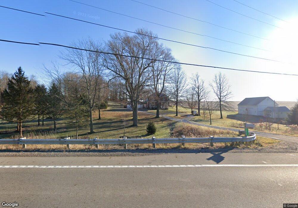
10724 State Route 13 Thornville, OH 43076
Estimated Value: $513,055 - $848,000
4
Beds
2
Baths
2,304
Sq Ft
$298/Sq Ft
Est. Value
About This Home
This home is located at 10724 State Route 13, Thornville, OH 43076 and is currently estimated at $686,764, approximately $298 per square foot. 10724 State Route 13 is a home located in Perry County with nearby schools including Sheridan High School.
Ownership History
Date
Name
Owned For
Owner Type
Purchase Details
Closed on
Nov 8, 2017
Sold by
Gwinn Mark K and Gwinn Julie R
Bought by
Slaster Amanda L
Current Estimated Value
Home Financials for this Owner
Home Financials are based on the most recent Mortgage that was taken out on this home.
Original Mortgage
$413,910
Outstanding Balance
$343,768
Interest Rate
3.52%
Mortgage Type
Adjustable Rate Mortgage/ARM
Estimated Equity
$342,996
Create a Home Valuation Report for This Property
The Home Valuation Report is an in-depth analysis detailing your home's value as well as a comparison with similar homes in the area
Home Values in the Area
Average Home Value in this Area
Purchase History
| Date | Buyer | Sale Price | Title Company |
|---|---|---|---|
| Slaster Amanda L | $459,900 | First American Title Company |
Source: Public Records
Mortgage History
| Date | Status | Borrower | Loan Amount |
|---|---|---|---|
| Open | Slaster Amanda L | $413,910 |
Source: Public Records
Tax History Compared to Growth
Tax History
| Year | Tax Paid | Tax Assessment Tax Assessment Total Assessment is a certain percentage of the fair market value that is determined by local assessors to be the total taxable value of land and additions on the property. | Land | Improvement |
|---|---|---|---|---|
| 2024 | $4,815 | $125,600 | $26,260 | $99,340 |
| 2023 | $4,815 | $125,600 | $26,260 | $99,340 |
| 2022 | $3,554 | $73,220 | $18,600 | $54,620 |
| 2021 | $3,216 | $73,220 | $18,600 | $54,620 |
| 2020 | $3,215 | $73,220 | $18,600 | $54,620 |
| 2019 | $2,607 | $59,090 | $16,320 | $42,770 |
| 2018 | $2,651 | $59,090 | $16,320 | $42,770 |
| 2017 | $2,371 | $59,090 | $16,320 | $42,770 |
| 2016 | $2,215 | $54,260 | $17,620 | $36,640 |
| 2015 | $2,208 | $54,260 | $17,620 | $36,640 |
| 2014 | $2,120 | $54,260 | $17,620 | $36,640 |
| 2013 | $1,077 | $54,260 | $17,620 | $36,640 |
| 2012 | -- | $54,260 | $17,620 | $36,640 |
Source: Public Records
Map
Nearby Homes
- 9621 State Route 13
- 9521 Township Road 37
- 0 Sheridan Dr Rd NW
- 0 County Rd Unit 2
- 12126 State Route 188
- 0 Greenway Rd Unit 223006253
- 12317 State Route 188
- 11095 High Point Rd
- 0 Thornville Rd NE Unit TRACT 7
- 0 Thornville Rd NE Unit TRACT 17 225035794
- 0 Thornville Rd NE Unit TRACT 16 225035791
- 0 Thornville Rd NE Unit TRACT 15 225035789
- 300 E Columbus St
- 5 S West St
- 10472 Township Road 80
- 73 N West St
- 25 Bradley St
- 102 Foster Dr
- 4486 Cooperriders Rd NW
- 5475 Rush Creek Rd NW
- 10724 State Route 13
- 10801 Ohio 13
- 10801 State Route 13
- Lot 1 State Route 13
- 0 County Road 29
- Lot 2 State Route 13
- 10455 State Route 13
- 8408 High Point Rd
- 10374 State Route 13
- 10374 State Route 13 Unit Lot 3
- 11112 State Route 13
- 10374 Ohio 13
- Lot 4 State Route 13
- 11127 State Route 13
- 11112 Ohio 13
- 10275 State Route 13
- 7750 High Point Rd
- 8459 High Point Rd
- Lot 5 State Route 13
- 7725 High Point Rd