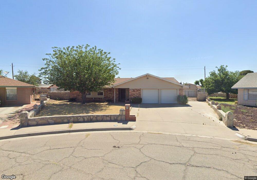
10728 Pico Norte Rd El Paso, TX 79935
Pico Norte NeighborhoodEstimated Value: $241,000 - $268,000
3
Beds
2
Baths
1,739
Sq Ft
$145/Sq Ft
Est. Value
About This Home
This home is located at 10728 Pico Norte Rd, El Paso, TX 79935 and is currently estimated at $252,331, approximately $145 per square foot. 10728 Pico Norte Rd is a home located in El Paso County with nearby schools including East Point Elementary School, Eastwood Middle School, and Eastwood High School.
Ownership History
Date
Name
Owned For
Owner Type
Purchase Details
Closed on
May 23, 2022
Sold by
Jorge Garcia Jr Rafael
Bought by
Terres Bernardo Manuel and Terres Cecilia Jauregui
Current Estimated Value
Home Financials for this Owner
Home Financials are based on the most recent Mortgage that was taken out on this home.
Original Mortgage
$172,000
Outstanding Balance
$166,188
Interest Rate
7.47%
Mortgage Type
New Conventional
Estimated Equity
$86,143
Create a Home Valuation Report for This Property
The Home Valuation Report is an in-depth analysis detailing your home's value as well as a comparison with similar homes in the area
Home Values in the Area
Average Home Value in this Area
Purchase History
| Date | Buyer | Sale Price | Title Company |
|---|---|---|---|
| Terres Bernardo Manuel | -- | None Listed On Document |
Source: Public Records
Mortgage History
| Date | Status | Borrower | Loan Amount |
|---|---|---|---|
| Open | Terres Bernardo Manuel | $172,000 |
Source: Public Records
Tax History Compared to Growth
Tax History
| Year | Tax Paid | Tax Assessment Tax Assessment Total Assessment is a certain percentage of the fair market value that is determined by local assessors to be the total taxable value of land and additions on the property. | Land | Improvement |
|---|---|---|---|---|
| 2025 | $6,524 | $261,646 | $57,089 | $204,557 |
| 2024 | $6,524 | $237,552 | $32,995 | $204,557 |
| 2023 | $6,616 | $227,325 | $32,995 | $194,330 |
| 2022 | $6,696 | $215,638 | $32,995 | $182,643 |
| 2021 | $5,583 | $171,765 | $32,995 | $138,770 |
| 2020 | $5,541 | $175,432 | $25,618 | $149,814 |
| 2018 | $5,412 | $174,037 | $25,618 | $148,419 |
| 2017 | $4,861 | $159,042 | $25,618 | $133,424 |
| 2016 | $4,861 | $159,042 | $25,618 | $133,424 |
| 2015 | $2,559 | $159,042 | $25,618 | $133,424 |
| 2014 | $2,559 | $159,892 | $25,618 | $134,274 |
Source: Public Records
Map
Nearby Homes
- 10712 Gay Brewer Dr
- 2313 Frank Beard Dr
- 2109 Febrero Dr
- 10916 Miller Barber Dr
- 2224 Escarpa Dr
- 2105 Pacheco Dr
- 2325 Ken Venturi Ln
- 10512 Album Ave
- 2701 Brady Place
- 2801 Brady Place
- 2000 Solano Dr
- 3112 Eads Place
- 3101 Vogue Dr
- 11008 Johnny Miller Dr
- 2912 Chaswood St
- 2820 Beachcomber Dr
- 2412 Penwood Dr
- 3150 N Yarbrough Dr Unit A1
- 1844 Jack Nicklaus Dr Unit 1846
- 11013 Bob Stone Dr
- 2501 Doug Ford Dr
- 10724 Pico Norte Rd
- 2505 Doug Ford Dr
- 10732 Pico Norte Rd
- 2413 Doug Ford Dr
- 2509 Doug Ford Dr
- 10736 Pico Norte Rd
- 10720 Pico Norte Rd
- 2409 Doug Ford Dr
- 10709 Sam Snead Dr
- 2513 Doug Ford Dr
- 10752 Pico Norte Rd
- 2405 Doug Ford Dr
- 10748 Pico Norte Rd
- 10705 Sam Snead Dr
- 10701 George Archer Dr
- 10713 Sam Snead Dr
- 2601 Doug Ford Dr
- 10700 Miller Barber Dr
- 10712 Lobo Ln