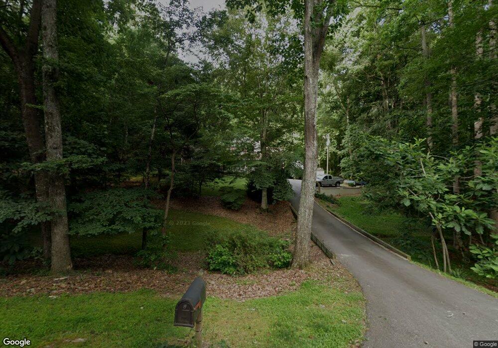
1073 Crenshaw Dr Wake Forest, NC 27587
Falls Lake NeighborhoodEstimated Value: $456,184 - $538,000
4
Beds
3
Baths
2,195
Sq Ft
$229/Sq Ft
Est. Value
About This Home
This home is located at 1073 Crenshaw Dr, Wake Forest, NC 27587 and is currently estimated at $502,046, approximately $228 per square foot. 1073 Crenshaw Dr is a home located in Wake County with nearby schools including Richland Creek Elementary School, Wake Forest-Rolesville Middle School, and Wake Forest High School.
Ownership History
Date
Name
Owned For
Owner Type
Purchase Details
Closed on
Jun 28, 2016
Sold by
Mickschutz Phyllis C
Bought by
Hayes Robert R and Hayes Audrey L
Current Estimated Value
Home Financials for this Owner
Home Financials are based on the most recent Mortgage that was taken out on this home.
Original Mortgage
$176,450
Outstanding Balance
$77,553
Interest Rate
2.81%
Mortgage Type
New Conventional
Estimated Equity
$424,493
Create a Home Valuation Report for This Property
The Home Valuation Report is an in-depth analysis detailing your home's value as well as a comparison with similar homes in the area
Home Values in the Area
Average Home Value in this Area
Purchase History
| Date | Buyer | Sale Price | Title Company |
|---|---|---|---|
| Hayes Robert R | $277,000 | None Available |
Source: Public Records
Mortgage History
| Date | Status | Borrower | Loan Amount |
|---|---|---|---|
| Open | Hayes Robert R | $176,450 |
Source: Public Records
Tax History
| Year | Tax Paid | Tax Assessment Tax Assessment Total Assessment is a certain percentage of the fair market value that is determined by local assessors to be the total taxable value of land and additions on the property. | Land | Improvement |
|---|---|---|---|---|
| 2025 | $2,446 | $379,235 | $100,000 | $279,235 |
| 2024 | $2,375 | $379,235 | $100,000 | $279,235 |
Source: Public Records
Map
Nearby Homes
- 1005 Martin Bench Ct
- 103 Fawn Dr
- 1100 Washhouse Ln
- 7709 Kittinger Ct
- 2428 Rachel Dr
- 1000 Dairy House Ct
- 1413 Flemming House St
- 1417 Flemming House St
- 2508 Kearney Rd
- 7201 Sparhawk Rd
- 1516 Crenshaw Point
- 11072 Ligon Mill Rd Unit 200 - Julianne
- 7805 Ailesbury Rd
- 7613 Thompson Mill Rd
- 2800 Wexford Forest Ln
- 2808 Wexford Forest Ln
- 7813 Ailesbury Rd
- 7932 Wexford Waters Ln
- 7029 Moresham Way
- 12554 Honeychurch St
- 1057 Crenshaw Dr
- Lot 2 Beaver Dam Rd
- 7425 Hasentree Dr
- 7425 Hasentree Dr Unit 161
- 00 Us 1 Hwy
- Lot 2 Beaver Dam Rd
- 210 Jonah Davis Rd
- 000 Capital
- Lot 72 Bluebell Ln
- Lot 62 Bluebell Ln
- Lot 61 Bluebell Ln
- Lot 58 Bluebell Ln
- Lot 57 Bluebell Ln
- Lot 63 Bluebell Ln
- Lot 60 Bluebell Ln
- Lot 67 Lavender Ln
- Lot 56 Bluebell Ln
- Lot 55 Snapdragon Dr
- Lot 54 Snapdragon Dr
- Lot 47 Snapdragon Dr
Your Personal Tour Guide
Ask me questions while you tour the home.
