Estimated Value: $293,453 - $317,000
5
Beds
3
Baths
2,308
Sq Ft
$132/Sq Ft
Est. Value
About This Home
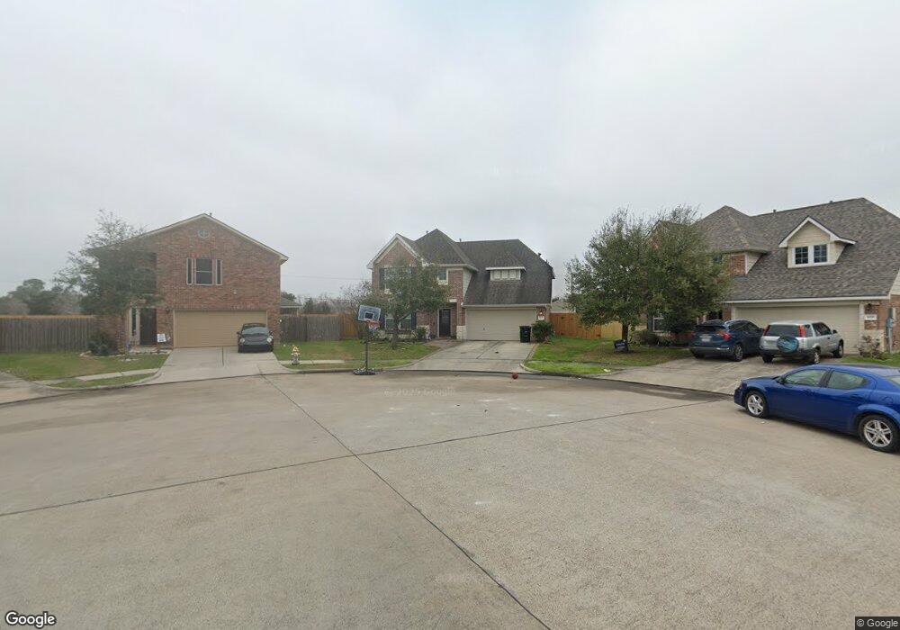
This home is located at 1073 Lasso Ct, Alvin, TX 77511 and is currently estimated at $303,613, approximately $131 per square foot. 1073 Lasso Ct is a home located in Brazoria County with nearby schools including Alvin Elementary School, Alvin Junior High School, and Alvin High School.
Ownership History
Date
Name
Owned For
Owner Type
Purchase Details
Closed on
Aug 27, 2015
Sold by
Kessler Andy Joshua and Kessler Brandie Nichole
Bought by
Babineaux Daniel
Current Estimated Value
Home Financials for this Owner
Home Financials are based on the most recent Mortgage that was taken out on this home.
Original Mortgage
$189,012
Outstanding Balance
$149,512
Interest Rate
4.12%
Mortgage Type
FHA
Estimated Equity
$154,101
Purchase Details
Closed on
Aug 22, 2012
Sold by
K Hovnanian Of Houston Ii Llc
Bought by
Kessler Andy Joshua and Kessler Brandie Nichole
Home Financials for this Owner
Home Financials are based on the most recent Mortgage that was taken out on this home.
Original Mortgage
$150,539
Interest Rate
3.95%
Mortgage Type
FHA
Purchase Details
Closed on
Feb 6, 2012
Sold by
Redus Texas Land Llc
Bought by
K Hovnanian Of Houston Ii Llc
Create a Home Valuation Report for This Property
The Home Valuation Report is an in-depth analysis detailing your home's value as well as a comparison with similar homes in the area
Home Values in the Area
Average Home Value in this Area
Purchase History
| Date | Buyer | Sale Price | Title Company |
|---|---|---|---|
| Babineaux Daniel | -- | Stewart Title Co | |
| Kessler Andy Joshua | -- | Alamo Title Company | |
| K Hovnanian Of Houston Ii Llc | -- | Alamo Title 17 |
Source: Public Records
Mortgage History
| Date | Status | Borrower | Loan Amount |
|---|---|---|---|
| Open | Babineaux Daniel | $189,012 | |
| Previous Owner | Kessler Andy Joshua | $150,539 |
Source: Public Records
Tax History Compared to Growth
Tax History
| Year | Tax Paid | Tax Assessment Tax Assessment Total Assessment is a certain percentage of the fair market value that is determined by local assessors to be the total taxable value of land and additions on the property. | Land | Improvement |
|---|---|---|---|---|
| 2025 | $5,797 | $302,210 | $60,400 | $241,810 |
| 2023 | $5,797 | $295,313 | $60,360 | $265,230 |
| 2022 | $7,364 | $268,466 | $50,300 | $236,810 |
| 2021 | $7,046 | $244,060 | $50,710 | $193,350 |
| 2020 | $6,637 | $226,770 | $44,900 | $181,870 |
| 2019 | $6,375 | $212,230 | $24,610 | $187,620 |
| 2018 | $6,153 | $204,490 | $24,610 | $179,880 |
| 2017 | $5,931 | $194,630 | $24,610 | $170,020 |
| 2016 | $5,931 | $194,630 | $24,610 | $170,020 |
| 2015 | $4,716 | $164,770 | $24,610 | $140,160 |
| 2014 | $4,716 | $166,950 | $24,610 | $142,340 |
Source: Public Records
Map
Nearby Homes
- 1279 Pinto Pass
- 1193 Stallion Ridge
- 1201 Stallion Ridge
- 1211 Quarterhorse Dr
- 1197 Cavalry Junction Dr
- 1174 Filly Creek Dr
- 1188 Filly Creek Dr
- 1203 Lancer Leap Dr
- 1215 Colt Canyon Dr
- 1217 Lancer Leap Dr
- 1813 Meadowview Dr
- 1225 Lancer Leap Dr
- 1229 Steed Bluff Dr
- 1001 Rosharon Rd
- 1237 Lancer Leap Dr
- 1600 Rosharon Rd Unit 19
- 002 Johnston St
- 208 W Jordan St
- 2408 Chelmsford Ct
- 1216 S Hill St