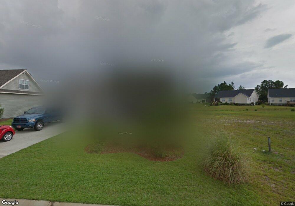
1073 Slater Way Leland, NC 28451
Estimated Value: $352,000 - $388,000
3
Beds
3
Baths
1,754
Sq Ft
$208/Sq Ft
Est. Value
About This Home
This home is located at 1073 Slater Way, Leland, NC 28451 and is currently estimated at $364,982, approximately $208 per square foot. 1073 Slater Way is a home located in Brunswick County with nearby schools including Town Creek Elementary School, North Brunswick High School, and Classical Charter Schools of Leland.
Ownership History
Date
Name
Owned For
Owner Type
Purchase Details
Closed on
Jul 10, 2009
Sold by
Logan Developers Inc
Bought by
Anderson Raymond J and Anderson Michele K
Current Estimated Value
Home Financials for this Owner
Home Financials are based on the most recent Mortgage that was taken out on this home.
Original Mortgage
$208,648
Outstanding Balance
$137,691
Interest Rate
5.53%
Mortgage Type
VA
Estimated Equity
$227,291
Create a Home Valuation Report for This Property
The Home Valuation Report is an in-depth analysis detailing your home's value as well as a comparison with similar homes in the area
Home Values in the Area
Average Home Value in this Area
Purchase History
| Date | Buyer | Sale Price | Title Company |
|---|---|---|---|
| Anderson Raymond J | $221,000 | None Available |
Source: Public Records
Mortgage History
| Date | Status | Borrower | Loan Amount |
|---|---|---|---|
| Open | Anderson Raymond J | $208,648 |
Source: Public Records
Tax History Compared to Growth
Tax History
| Year | Tax Paid | Tax Assessment Tax Assessment Total Assessment is a certain percentage of the fair market value that is determined by local assessors to be the total taxable value of land and additions on the property. | Land | Improvement |
|---|---|---|---|---|
| 2025 | $2,342 | $349,990 | $65,000 | $284,990 |
| 2024 | $2,342 | $349,990 | $65,000 | $284,990 |
| 2023 | $1,748 | $349,990 | $65,000 | $284,990 |
| 2022 | $1,748 | $215,330 | $40,000 | $175,330 |
| 2021 | $1,748 | $215,330 | $40,000 | $175,330 |
| 2020 | $1,662 | $215,330 | $40,000 | $175,330 |
| 2019 | $1,647 | $41,720 | $40,000 | $1,720 |
| 2018 | $1,513 | $37,010 | $35,000 | $2,010 |
| 2017 | $1,513 | $37,010 | $35,000 | $2,010 |
| 2016 | $1,435 | $37,010 | $35,000 | $2,010 |
| 2015 | $1,371 | $199,720 | $35,000 | $164,720 |
| 2014 | $1,256 | $194,663 | $35,000 | $159,663 |
Source: Public Records
Map
Nearby Homes
- 2101 Lapham
- 2116 Lapham Dr
- 2132 Lapham Dr
- 1220 Slater Way
- 3125 Thistlewood Dr NE
- 2456 Tara Forest Dr
- 8525 Primm Forest Dr NE
- 1183 Greensview Cir
- 627 Lanvale Hills Cir NE
- 8534 Glasgow St NE
- 1155 Greensview Cir
- 8603 Lanvale Forest Dr NE
- 637 Lanvale Hills Cir NE
- 4517 Combs Forest Ct
- 1276 Newbold Dr #84
- 1272 Newbold Dr #83
- 7121 Fisk NE Unit 46
- 7121 Fisk Dr #46
- 7125 Fisk Dr # 47
- 7439 Julius Dr # 88
- 1077 Slater Way
- 1081 Slater Way
- 126 Watersfield Rd
- 1072 Slater Way
- 1064 Slater Way
- 1076 Slater Way
- 1057 Slater Way
- 128 Watersfield Rd
- 1056 Slater Way
- 205 Whitehill Rd
- 1053 Slater Way
- 207 Whitehill Rd
- 130 Watersfield Rd
- 1089 Slater Way
- 2005 Lapham Dr
- 1052 Slater Way
- 2008 Lapham Dr
- 116 Watersfield Rd
- 209 Whitehill Rd
- 2009 Lapham Dr