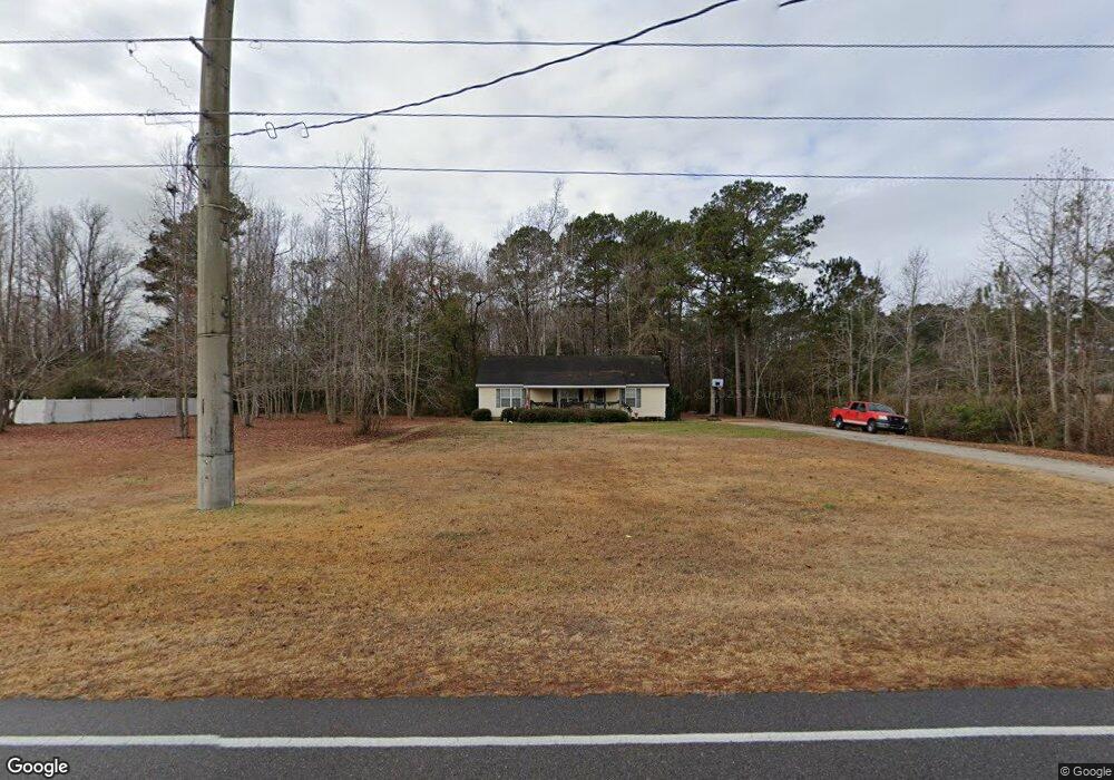
1073 Stanley Rd SW Supply, NC 28462
Estimated Value: $265,000 - $339,000
3
Beds
2
Baths
1,456
Sq Ft
$201/Sq Ft
Est. Value
About This Home
This home is located at 1073 Stanley Rd SW, Supply, NC 28462 and is currently estimated at $293,079, approximately $201 per square foot. 1073 Stanley Rd SW is a home located in Brunswick County with nearby schools including Virginia Williamson Elementary School, Cedar Grove Middle School, and West Brunswick High School.
Ownership History
Date
Name
Owned For
Owner Type
Purchase Details
Closed on
Oct 16, 2006
Sold by
Bartlett Michael Thomas
Bought by
Ward David Solon
Current Estimated Value
Home Financials for this Owner
Home Financials are based on the most recent Mortgage that was taken out on this home.
Original Mortgage
$114,400
Outstanding Balance
$67,887
Interest Rate
6.36%
Mortgage Type
Commercial
Estimated Equity
$225,192
Create a Home Valuation Report for This Property
The Home Valuation Report is an in-depth analysis detailing your home's value as well as a comparison with similar homes in the area
Home Values in the Area
Average Home Value in this Area
Purchase History
| Date | Buyer | Sale Price | Title Company |
|---|---|---|---|
| Ward David Solon | $143,000 | None Available |
Source: Public Records
Mortgage History
| Date | Status | Borrower | Loan Amount |
|---|---|---|---|
| Open | Ward David Solon | $114,400 |
Source: Public Records
Tax History Compared to Growth
Tax History
| Year | Tax Paid | Tax Assessment Tax Assessment Total Assessment is a certain percentage of the fair market value that is determined by local assessors to be the total taxable value of land and additions on the property. | Land | Improvement |
|---|---|---|---|---|
| 2025 | $788 | $176,020 | $16,740 | $159,280 |
| 2024 | $788 | $176,020 | $16,740 | $159,280 |
| 2023 | $736 | $176,020 | $16,740 | $159,280 |
| 2022 | $736 | $113,470 | $13,400 | $100,070 |
| 2021 | $736 | $113,470 | $13,400 | $100,070 |
| 2020 | $736 | $113,470 | $13,400 | $100,070 |
| 2019 | $719 | $14,250 | $13,400 | $850 |
| 2018 | $744 | $12,720 | $11,720 | $1,000 |
| 2017 | $700 | $12,720 | $11,720 | $1,000 |
| 2016 | $675 | $12,720 | $11,720 | $1,000 |
| 2015 | $675 | $118,600 | $11,720 | $106,880 |
| 2014 | $676 | $130,131 | $25,120 | $105,011 |
Source: Public Records
Map
Nearby Homes
- 1355 Sweetwater Ln SW
- 1360 Sweetwater Ln SW
- 1251 Black Bear SW
- 2.25 Ac Taft Rd SW
- 712 Sand Castle Dr SW
- 1219 Madera Place SW
- 1566-1572 Pine Tree Cir SW
- 1203 Ocean Trail Ct
- 2329 Stanley Rd SW
- 691 Eastwind Dr SW
- 665 Pelican Roost Dr SW
- 1071 Windward Dr N
- 679 Westwind Dr SW
- 613 Southwind Dr SW
- 1114 Windward Dr N
- 587 Mary Lou Ln SW
- 1645 Shelby Ln SW
- 528 Mary Lou Ln SW
- 1135 Wilma Ave SW
- 580 S Windward Dr SW
- 1075 Stanley Rd SW
- 1082 Stanley Rd SW
- 1044 Stanley Rd SW
- 1004 Stanley Rd SW Unit 23
- 1004 Stanley Rd SW Unit 25
- 1004 Stanley Rd SW
- 1214 Windy Ridge Trail SW
- 1001 Stanley Rd SW
- 0 Windy Ridge Trail SW
- 1176 Stanley Rd SW
- 1251 Windy Ridge Trail SW
- 1179 Stanley Rd SW
- 1290 Windy Ridge Trail SW
- 1039 Taft Rd SW
- 946 Stanley Rd SW
- 1056 Taft Rd SW
- 1020 Taft Rd SW
- 983 Taft Rd SW
- 916 Stanley Rd SW
- 1236 Stanley Rd SW