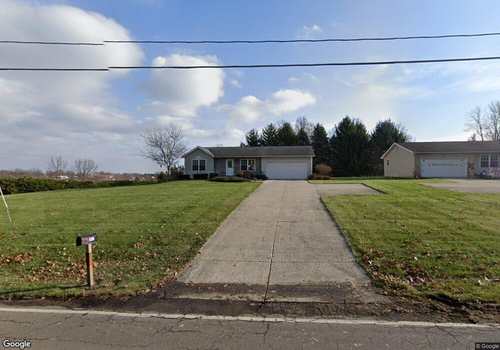
1073 W Cook Rd Unit 1079 Mansfield, OH 44906
Estimated Value: $279,827 - $329,000
2
Beds
2
Baths
1,253
Sq Ft
$247/Sq Ft
Est. Value
About This Home
This home is located at 1073 W Cook Rd Unit 1079, Mansfield, OH 44906 and is currently estimated at $309,957, approximately $247 per square foot. 1073 W Cook Rd Unit 1079 is a home located in Richland County with nearby schools including Mansfield Christian School, Discovery School, and Mansfield Seventh-day Adventist School.
Ownership History
Date
Name
Owned For
Owner Type
Purchase Details
Closed on
Oct 27, 2008
Sold by
Getz Paul L and Getz Tonya L
Bought by
Pt Getz Investment Llc
Current Estimated Value
Purchase Details
Closed on
Sep 27, 2001
Sold by
Berry Jeff T
Bought by
Getz Paul L
Purchase Details
Closed on
Mar 27, 2000
Sold by
Finney Farm Properties
Bought by
Berry Jeff T
Purchase Details
Closed on
May 10, 1991
Sold by
Brody Stanley L
Bought by
Finney Farm Properties
Create a Home Valuation Report for This Property
The Home Valuation Report is an in-depth analysis detailing your home's value as well as a comparison with similar homes in the area
Home Values in the Area
Average Home Value in this Area
Purchase History
| Date | Buyer | Sale Price | Title Company |
|---|---|---|---|
| Pt Getz Investment Llc | -- | None Available | |
| Getz Paul L | $22,500 | -- | |
| Berry Jeff T | $25,000 | -- | |
| Finney Farm Properties | -- | -- |
Source: Public Records
Tax History Compared to Growth
Tax History
| Year | Tax Paid | Tax Assessment Tax Assessment Total Assessment is a certain percentage of the fair market value that is determined by local assessors to be the total taxable value of land and additions on the property. | Land | Improvement |
|---|---|---|---|---|
| 2024 | $4,876 | $101,830 | $14,060 | $87,770 |
| 2023 | $4,876 | $101,830 | $14,060 | $87,770 |
| 2022 | $4,638 | $81,180 | $12,470 | $68,710 |
| 2021 | $4,670 | $81,180 | $12,470 | $68,710 |
| 2020 | $4,776 | $81,180 | $12,470 | $68,710 |
| 2019 | $4,487 | $68,800 | $10,570 | $58,230 |
| 2018 | $4,427 | $68,800 | $10,570 | $58,230 |
| 2017 | $4,347 | $68,800 | $10,570 | $58,230 |
| 2016 | $4,386 | $67,920 | $10,250 | $57,670 |
| 2015 | $4,189 | $67,920 | $10,250 | $57,670 |
| 2014 | $4,134 | $67,920 | $10,250 | $57,670 |
| 2012 | $3,265 | $70,020 | $10,570 | $59,450 |
Source: Public Records
Map
Nearby Homes
- 240 Whippoorwill Ln Unit 240
- 1201 W Cook Rd
- 1163 Woodland Rd
- 1332 Springbrook Dr
- 654 Courtwright Blvd
- 0 U S Highway 42
- 1314 Bridgewater Way N
- 1505 Brookpark Dr
- 1009 Woodhill Rd
- 1452 W Cook Rd
- 818 Red Oak Trail
- 1564 Bridgewater Way S
- 823 1 2 Red Oak Trail
- 823 1/2 Red Oak Trail
- 501 Clifton Blvd
- 589 Andover Rd
- 476 Glendale Blvd
- 1690 Riva Ridge Dr Unit 1690
- 710 Cloverleaf Ct
- 1696 Riva Ridge Dr
- 1087 W Cook Rd
- 230 Whippoorwill Ln Unit 230
- 220 Whippoorwill Ln
- 440 Whippoorwill Ln Unit 440
- 1080 Springbrook Dr
- 210 Whippoorwill Ln
- 1098 W Cook Rd
- 1200 W Cook Rd
- 1099 W Cook Rd
- 1088 Springbrook Dr
- 330 Whippoorwill Ln Unit 330
- 320 Whippoorwill Ln Unit 320
- 640 Whippoorwill Ln
- 620 Whippoorwill Ln Unit 620
- 120 Whippoorwill Ln
- 110 Whippoorwill Ln
- 1100 Springbrook Dr
- 140 Whippoorwill Ln
- 340 Whippoorwill Ln
- 530 Whippoorwill Ln