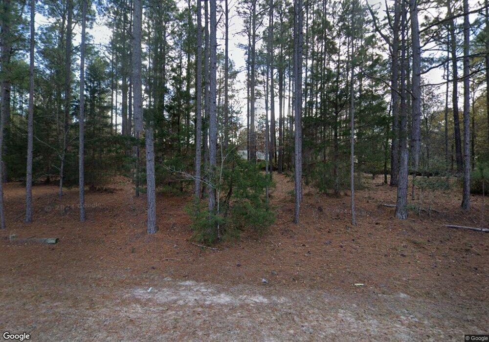
10736 Blanrock Rd Metter, GA 30439
Estimated Value: $337,000 - $456,000
2
Beds
3
Baths
2,166
Sq Ft
$184/Sq Ft
Est. Value
About This Home
This home is located at 10736 Blanrock Rd, Metter, GA 30439 and is currently estimated at $398,749, approximately $184 per square foot. 10736 Blanrock Rd is a home located in Candler County with nearby schools including Metter Elementary School, Metter Intermediate School, and Metter Middle School.
Ownership History
Date
Name
Owned For
Owner Type
Purchase Details
Closed on
Dec 17, 2019
Sold by
Carton Jean Paul
Bought by
Kreider Arnold and Kreider Rachel
Current Estimated Value
Home Financials for this Owner
Home Financials are based on the most recent Mortgage that was taken out on this home.
Original Mortgage
$210,000
Interest Rate
3.6%
Mortgage Type
New Conventional
Purchase Details
Closed on
Aug 1, 1992
Bought by
Carton Jean Paul
Create a Home Valuation Report for This Property
The Home Valuation Report is an in-depth analysis detailing your home's value as well as a comparison with similar homes in the area
Home Values in the Area
Average Home Value in this Area
Purchase History
| Date | Buyer | Sale Price | Title Company |
|---|---|---|---|
| Kreider Arnold | $285,000 | -- | |
| Carton Jean Paul | $82,200 | -- |
Source: Public Records
Mortgage History
| Date | Status | Borrower | Loan Amount |
|---|---|---|---|
| Closed | Kreider Arnold | $210,000 |
Source: Public Records
Tax History Compared to Growth
Tax History
| Year | Tax Paid | Tax Assessment Tax Assessment Total Assessment is a certain percentage of the fair market value that is determined by local assessors to be the total taxable value of land and additions on the property. | Land | Improvement |
|---|---|---|---|---|
| 2024 | $2,914 | $115,746 | $32,776 | $82,970 |
| 2023 | $2,914 | $111,190 | $32,776 | $78,414 |
| 2022 | $2,501 | $101,043 | $32,776 | $68,267 |
| 2021 | $2,313 | $95,971 | $32,776 | $63,195 |
| 2020 | $2,313 | $95,971 | $32,776 | $63,195 |
| 2019 | $1,924 | $83,743 | $32,776 | $50,967 |
| 2018 | $1,879 | $67,454 | $28,020 | $39,434 |
| 2017 | $1,765 | $67,454 | $28,020 | $39,434 |
| 2016 | $1,532 | $67,454 | $28,020 | $39,434 |
| 2015 | $1,312 | $68,516 | $28,020 | $40,497 |
| 2014 | $1,312 | $68,516 | $28,020 | $40,497 |
Source: Public Records
Map
Nearby Homes
- 22850 Rosemary Church Rd
- 21670 Salem Church Rd
- 24571 Saint Mathews Church Rd
- 2820 Southern Manor Rd
- 0 Harvey Wilson Rd Unit 10461090
- Lot 3 Ben Grady Collins Rd
- Lot 1 Ben Grady Collins Rd
- 150 W Willow Lake Dr
- 40 Hickory St
- 465 Cedar St
- 0 Dean Nichols Rd
- 250 S Lewis St
- 295 S Lewis St
- 788 Dean Nichols Rd
- 365 S Leroy St
- 3969 Ben Grady Collins Rd Unit LOT 2
- 405 S Leroy St
- 0 E Lake Dr Unit 10568734
- 0 E Lake Dr Unit 10568706
- 251 Alexander Farms Rd W
- 1311 Dairy Farm Rd
- 4095 Dairy Farm Rd
- 785 Dairy Farm Rd
- 7998 Blanrock Rd
- 7090 Blanrock Rd
- 5770 Tyler Rd
- 7091 Blanrock Rd
- 6277 Blanrock Rd
- 13430 Blanrock Rd
- 5801 Blanrock Rd
- 5307 Blanrock Rd
- 4249 Tyler Rd
- 3002 Vastie Ln
- 1354 Debbie Ln
- 0 Franklin St Unit 7257926
- 0 Franklin St Unit 8510576
- 0 Franklin St Unit 8301368
- 0 Franklin St
- 0 Franklin St Unit 7459597
- 15609 Blanrock Rd
