10737 Highway 185 Saint George, GA 31562
Estimated Value: $307,000 - $474,000
3
Beds
2
Baths
2,011
Sq Ft
$177/Sq Ft
Est. Value
About This Home
This home is located at 10737 Highway 185, Saint George, GA 31562 and is currently estimated at $356,615, approximately $177 per square foot. 10737 Highway 185 is a home located in Charlton County with nearby schools including Charlton County High School.
Ownership History
Date
Name
Owned For
Owner Type
Purchase Details
Closed on
Feb 1, 2014
Sold by
Howard April Lee
Bought by
Chism Michael S
Current Estimated Value
Purchase Details
Closed on
Feb 12, 2013
Sold by
Raymond April Lea
Bought by
Lee Howard Joseph Devon and Lee Howard April
Home Financials for this Owner
Home Financials are based on the most recent Mortgage that was taken out on this home.
Original Mortgage
$126,669
Interest Rate
3.4%
Mortgage Type
New Conventional
Purchase Details
Closed on
Aug 31, 2012
Sold by
Raymond Nathan Thomas
Bought by
Raymond April Lea
Create a Home Valuation Report for This Property
The Home Valuation Report is an in-depth analysis detailing your home's value as well as a comparison with similar homes in the area
Home Values in the Area
Average Home Value in this Area
Purchase History
| Date | Buyer | Sale Price | Title Company |
|---|---|---|---|
| Chism Michael S | $72,500 | -- | |
| Chism Michael S | $72,500 | -- | |
| Lee Howard Joseph Devon | -- | -- | |
| Raymond April Lea | -- | -- |
Source: Public Records
Mortgage History
| Date | Status | Borrower | Loan Amount |
|---|---|---|---|
| Previous Owner | Lee Howard Joseph Devon | $126,669 |
Source: Public Records
Tax History Compared to Growth
Tax History
| Year | Tax Paid | Tax Assessment Tax Assessment Total Assessment is a certain percentage of the fair market value that is determined by local assessors to be the total taxable value of land and additions on the property. | Land | Improvement |
|---|---|---|---|---|
| 2024 | $3,579 | $129,328 | $1,520 | $127,808 |
| 2023 | $3,041 | $110,088 | $1,520 | $108,568 |
| 2022 | $2,570 | $86,968 | $1,440 | $85,528 |
| 2021 | $2,246 | $60,120 | $1,440 | $58,680 |
| 2020 | $2,142 | $60,120 | $1,440 | $58,680 |
| 2019 | $2,247 | $60,120 | $1,440 | $58,680 |
| 2018 | $2,374 | $62,880 | $4,200 | $58,680 |
| 2017 | $2,263 | $62,080 | $4,200 | $57,880 |
| 2016 | $2,331 | $62,080 | $4,200 | $57,880 |
| 2015 | -- | $62,080 | $4,200 | $57,880 |
| 2014 | -- | $62,080 | $4,200 | $57,880 |
| 2013 | -- | $62,080 | $4,200 | $57,880 |
Source: Public Records
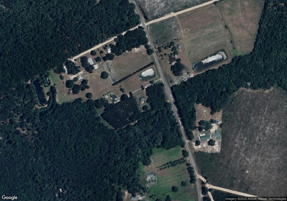
Map
Nearby Homes
- 0 Old Moniac Rd Unit 10583842
- 9757 Highway 185
- 373 Barber Branch
- 12220 County Road 122
- 11842 Garden Way
- TBD Jerry Holland Rd
- 0 Noah Raulerson Rd
- 17073 Jack Dowling Cir
- 18876 County Road 127
- 9824 Woodrow Raulerson Rd
- 11226 Clarence Bennett Rd
- 11018 Seneca Ln
- 10991 N Runway Cir
- 10993 N Runway Cir
- 0 St Mary's River Bluff Ltd
- 0000 St Mary's River Bluff Ltd
- 1621 Saint Marys River Bluff Rd
- 264 & 220 Wheat St
- 264 Wheat St
- 323 St Marys River Bluff Rd
- 10739 Highway 185
- 10776 Highway 185
- 83 Chism Trail
- 129 Chism Trail
- 9.5 County Road 185
- 185 Highway 185 Ave
- 176 Chism Trail
- 0 Georgia 185 Unit 20156092
- Lots plus Cr185
- 0 Old Moniac Rd Unit 7115970
- 0 Old Moniac Rd Unit 7224300
- 0 Old Moniac Rd Unit 21922993
- 0 Old Moniac Rd Unit 21801110
- 0 Old Moniac Rd Unit 21798263
- 0 Old Moniac Rd Unit 21801111
- 0 Old Moniac Rd Unit 21801112
- 0 Old Moniac Rd Unit MFRGC525725
- 0 Old Moniac Rd Unit MFRGC525724
- 0 Old Moniac Rd Unit MFRGC525709
- 0 Old Moniac Rd Unit MFRGC525707