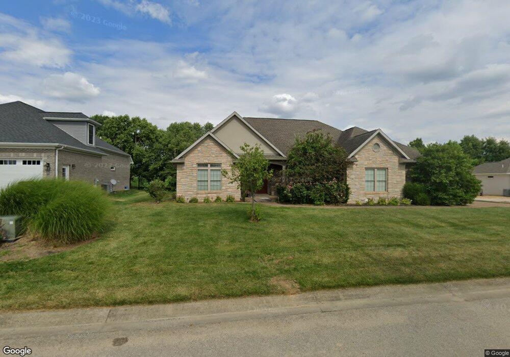
10737 Sable Ridge Dr Evansville, IN 47725
Estimated Value: $463,000 - $605,000
3
Beds
3
Baths
2,809
Sq Ft
$187/Sq Ft
Est. Value
About This Home
This home is located at 10737 Sable Ridge Dr, Evansville, IN 47725 and is currently estimated at $525,198, approximately $186 per square foot. 10737 Sable Ridge Dr is a home located in Vanderburgh County with nearby schools including McCutchanville Elementary School, North Junior High School, and North High School.
Ownership History
Date
Name
Owned For
Owner Type
Purchase Details
Closed on
Nov 30, 2010
Sold by
Hawthorne Development Group Llc
Bought by
Eidson Steven D and Eidson Sondra G
Current Estimated Value
Home Financials for this Owner
Home Financials are based on the most recent Mortgage that was taken out on this home.
Original Mortgage
$26,625
Interest Rate
4.22%
Mortgage Type
Purchase Money Mortgage
Create a Home Valuation Report for This Property
The Home Valuation Report is an in-depth analysis detailing your home's value as well as a comparison with similar homes in the area
Home Values in the Area
Average Home Value in this Area
Purchase History
| Date | Buyer | Sale Price | Title Company |
|---|---|---|---|
| Eidson Steven D | -- | None Available |
Source: Public Records
Mortgage History
| Date | Status | Borrower | Loan Amount |
|---|---|---|---|
| Closed | Eidson Steven D | $26,625 |
Source: Public Records
Tax History Compared to Growth
Tax History
| Year | Tax Paid | Tax Assessment Tax Assessment Total Assessment is a certain percentage of the fair market value that is determined by local assessors to be the total taxable value of land and additions on the property. | Land | Improvement |
|---|---|---|---|---|
| 2024 | $12,151 | $563,000 | $41,600 | $521,400 |
| 2023 | $5,977 | $546,300 | $41,600 | $504,700 |
| 2022 | $5,329 | $481,400 | $41,600 | $439,800 |
| 2021 | $4,580 | $406,400 | $41,600 | $364,800 |
| 2020 | $3,389 | $309,800 | $41,600 | $268,200 |
| 2019 | $3,399 | $312,700 | $41,600 | $271,100 |
| 2018 | $3,446 | $315,600 | $41,600 | $274,000 |
| 2017 | $3,456 | $314,600 | $41,600 | $273,000 |
| 2016 | $3,489 | $318,600 | $41,600 | $277,000 |
| 2014 | $6,638 | $314,200 | $41,600 | $272,600 |
| 2013 | -- | $316,900 | $41,600 | $275,300 |
Source: Public Records
Map
Nearby Homes
- 10835 Sable Ridge Dr
- 2939 Lucerne Ave
- 3044 Birdie Cir
- 3000 Locker Ct
- 2935 Tipperary Dr
- 2934 Tipperary Dr
- 10818 Eagle Crossing Dr
- 3001 Atcheson Dr
- 2947 Atcheson Dr
- 2935 Atcheson Dr
- 11134 Ensle Dr
- 11135 Ensle Dr
- 10235 Admiral Dr
- 2748 Kincheloe Ct
- Little Rock Craftsman Plan at McCutchan Trace
- Revolution Farmhouse 3-Car Plan at McCutchan Trace
- Revolution Craftsman 3-Car Plan at McCutchan Trace
- Patriot Modern 3-Car Plan at McCutchan Trace
- National Farmhouse 3-Car Plan at McCutchan Trace
- National Modern 3-Car Plan at McCutchan Trace
- 10807 Sable Ridge Dr
- 10727 Sable Ridge Dr
- 3110 Lucerne Ave
- 3109 Berwick Blvd
- 3121 Lucerne Ave
- 3111 Lucerne Ave
- 3042 Lucerne Ave
- 10705 Seib Rd
- 3118 Longiron Dr
- 3110 Berwick Blvd
- 3041 Berwick Blvd
- 3043 Lucerne Ave
- 3104 Longiron Dr
- 3032 Berwick Blvd
- 3042 Berwick Blvd
- 10621 Birdie Dr
- 3031 Berwick Blvd
- 10849 Sable Ridge Dr
- 3050 Longiron Dr
- 3033 Lucerne Ave