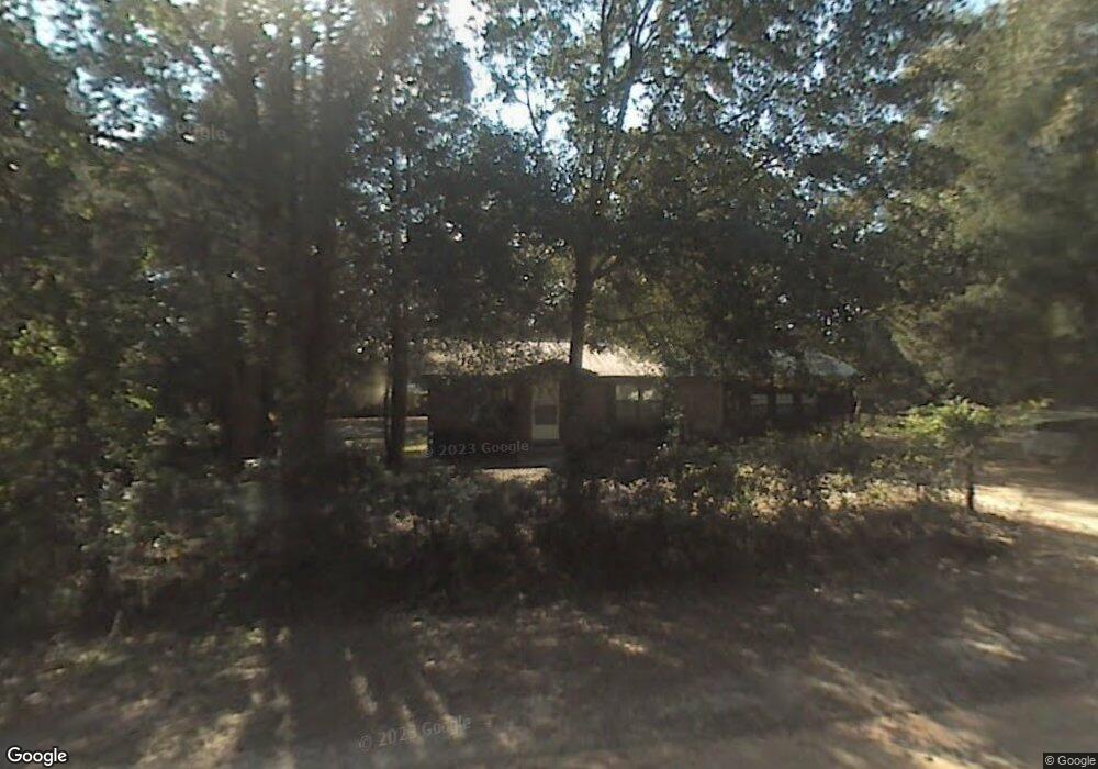
10738 Moline St Youngstown, FL 32466
Estimated Value: $176,000 - $223,000
2
Beds
1
Bath
1,224
Sq Ft
$171/Sq Ft
Est. Value
About This Home
This home is located at 10738 Moline St, Youngstown, FL 32466 and is currently estimated at $209,303, approximately $170 per square foot. 10738 Moline St is a home located in Bay County with nearby schools including Waller Elementary School, Deane Bozeman School, and Merritt Brown Middle School.
Ownership History
Date
Name
Owned For
Owner Type
Purchase Details
Closed on
Jul 19, 2022
Sold by
Smith Sheila O
Bought by
Robinson Jonathan
Current Estimated Value
Home Financials for this Owner
Home Financials are based on the most recent Mortgage that was taken out on this home.
Original Mortgage
$186,480
Outstanding Balance
$178,470
Interest Rate
5.81%
Mortgage Type
VA
Estimated Equity
$30,833
Purchase Details
Closed on
Aug 29, 2017
Sold by
Wood Lester L
Bought by
Smith Sheila O
Home Financials for this Owner
Home Financials are based on the most recent Mortgage that was taken out on this home.
Original Mortgage
$72,000
Interest Rate
3.96%
Mortgage Type
New Conventional
Create a Home Valuation Report for This Property
The Home Valuation Report is an in-depth analysis detailing your home's value as well as a comparison with similar homes in the area
Home Values in the Area
Average Home Value in this Area
Purchase History
| Date | Buyer | Sale Price | Title Company |
|---|---|---|---|
| Robinson Jonathan | $180,000 | Defender Title & Escrow | |
| Smith Sheila O | $80,000 | Attorney |
Source: Public Records
Mortgage History
| Date | Status | Borrower | Loan Amount |
|---|---|---|---|
| Open | Robinson Jonathan | $186,480 | |
| Previous Owner | Smith Sheila O | $72,000 |
Source: Public Records
Tax History Compared to Growth
Tax History
| Year | Tax Paid | Tax Assessment Tax Assessment Total Assessment is a certain percentage of the fair market value that is determined by local assessors to be the total taxable value of land and additions on the property. | Land | Improvement |
|---|---|---|---|---|
| 2024 | $1,964 | $169,019 | -- | -- |
| 2023 | $1,964 | $153,654 | $16,950 | $136,704 |
| 2022 | $433 | $69,968 | $0 | $0 |
| 2021 | $436 | $67,930 | $0 | $0 |
| 2020 | $436 | $66,992 | $16,950 | $50,042 |
| 2019 | $413 | $63,287 | $16,950 | $46,337 |
| 2018 | $447 | $67,817 | $0 | $0 |
| 2017 | $435 | $64,396 | $0 | $0 |
| 2016 | $448 | $64,779 | $0 | $0 |
| 2015 | $468 | $65,162 | $0 | $0 |
| 2014 | $478 | $66,834 | $0 | $0 |
Source: Public Records
Map
Nearby Homes
- 10737 Johnson Blvd
- 00 Ely Ave
- 00 Las Vegas St
- 10450 River Alley Rd
- 11105 Fleet St
- 9142 Tracy Way
- 9410 Pembrook Place
- 10215 N Campflowers Rd
- 0 S Fork Loop Unit 769207
- 10216 N Highway 231
- 9328 Chevy Ln
- 9122 Chevy Ln
- 8735 Tower Rd
- 8521 Hudson Rd
- 9323 N Hwy 231 Unit 13.51 ACRES
- 000 N Hwy 231
- 11310 Stone Rd
- 8339 Angie Cir
- 3820 E Highway 388
- 0 E Highway 388
- 10724 Moline St
- 10807 Johnson Blvd
- 10727 Iowa St
- 10723 Iowa St Unit 10727
- LOT 2 Iowa St
- 10714 Moline St
- 10713 A&B 10713 A&b Iowa St
- 10713 Iowa St
- 9630 Davenport Ave
- 10707 Iowa St
- 10716 Illinois St
- 10716 Johnson Blvd
- 10812 Johnson Blvd
- 10721 Johnson Blvd
- 9618 Davenport Ave
- 10733 Illinois St
- 10731 Iowa St
- 9904 Davenport Ave Unit 9914
- 10805 Illinois St
- 10801 U S 231