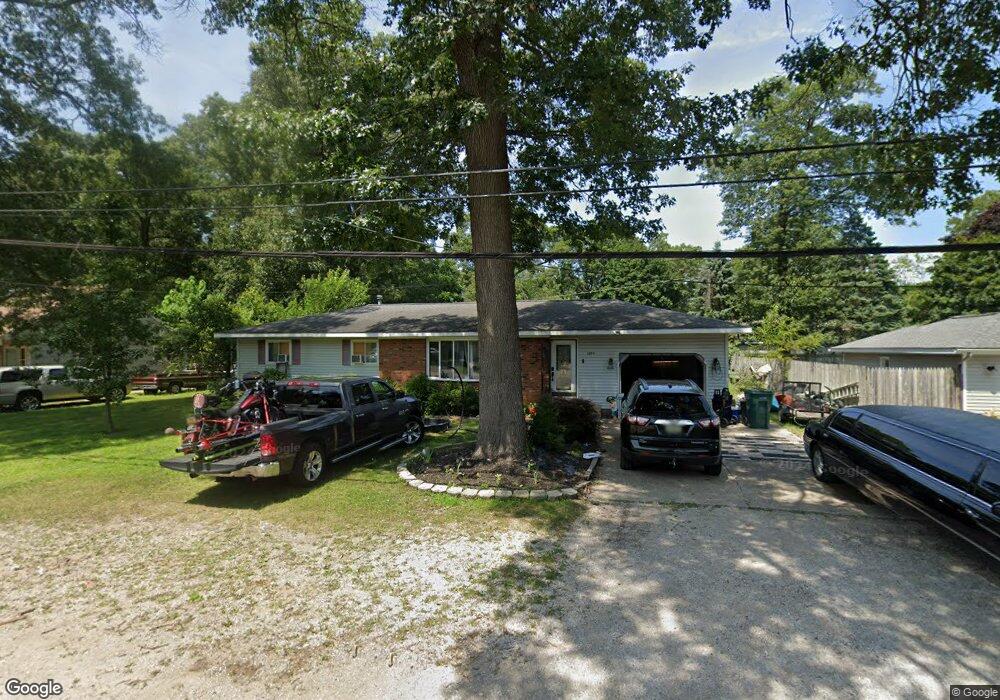
1074 Becker Rd Muskegon, MI 49445
Estimated Value: $234,000 - $284,000
3
Beds
2
Baths
1,104
Sq Ft
$226/Sq Ft
Est. Value
About This Home
This home is located at 1074 Becker Rd, Muskegon, MI 49445 and is currently estimated at $249,707, approximately $226 per square foot. 1074 Becker Rd is a home located in Muskegon County with nearby schools including Reeths-Puffer High School.
Ownership History
Date
Name
Owned For
Owner Type
Purchase Details
Closed on
Jun 10, 2021
Sold by
Green Sharia
Bought by
Hansen Stephanie and Elkins Matthew
Current Estimated Value
Home Financials for this Owner
Home Financials are based on the most recent Mortgage that was taken out on this home.
Original Mortgage
$156,120
Outstanding Balance
$141,347
Interest Rate
2.9%
Mortgage Type
FHA
Estimated Equity
$108,360
Purchase Details
Closed on
Oct 11, 2007
Sold by
Green Clarence Dale and Green Karon Marie
Bought by
Green Karon and Green Sharla
Create a Home Valuation Report for This Property
The Home Valuation Report is an in-depth analysis detailing your home's value as well as a comparison with similar homes in the area
Home Values in the Area
Average Home Value in this Area
Purchase History
| Date | Buyer | Sale Price | Title Company |
|---|---|---|---|
| Hansen Stephanie | $159,000 | Premier Lakeshore Title Agcy | |
| Green Karon | -- | Metropolitan Title Company |
Source: Public Records
Mortgage History
| Date | Status | Borrower | Loan Amount |
|---|---|---|---|
| Open | Hansen Stephanie | $156,120 |
Source: Public Records
Tax History Compared to Growth
Tax History
| Year | Tax Paid | Tax Assessment Tax Assessment Total Assessment is a certain percentage of the fair market value that is determined by local assessors to be the total taxable value of land and additions on the property. | Land | Improvement |
|---|---|---|---|---|
| 2025 | $3,635 | $104,000 | $0 | $0 |
| 2024 | $923 | $95,700 | $0 | $0 |
| 2023 | $883 | $82,100 | $0 | $0 |
| 2022 | $3,070 | $71,700 | $0 | $0 |
| 2021 | $1,552 | $55,100 | $0 | $0 |
| 2020 | $1,986 | $51,700 | $0 | $0 |
| 2019 | $1,848 | $48,100 | $0 | $0 |
| 2018 | $2,210 | $47,400 | $0 | $0 |
| 2017 | $1,587 | $45,800 | $0 | $0 |
| 2016 | $426 | $40,500 | $0 | $0 |
| 2015 | -- | $37,800 | $0 | $0 |
| 2014 | -- | $37,200 | $0 | $0 |
| 2013 | -- | $35,400 | $0 | $0 |
Source: Public Records
Map
Nearby Homes
- 0 N Getty St
- 2060 N Roberts Rd
- 764 E Giles Rd
- 787 E Giles Rd
- 2021 Queens Ct
- 1353 Holton Rd
- 1925 Shady Oak Dr
- 129 Maple Ct
- V/L Reed Ave
- 1850 Mildred St
- 1699 Sycamore Dr
- 0 Holton Vl Rd Unit 20027438
- 2026 N Port Blvd
- 2051 Russell Rd
- 1960 Nielwood Dr
- 2400 Russell Rd
- V/L Holton Rd
- 2624 Holton Rd
- 2551 Hiawatha Trail
- 2906 Riverview Ave