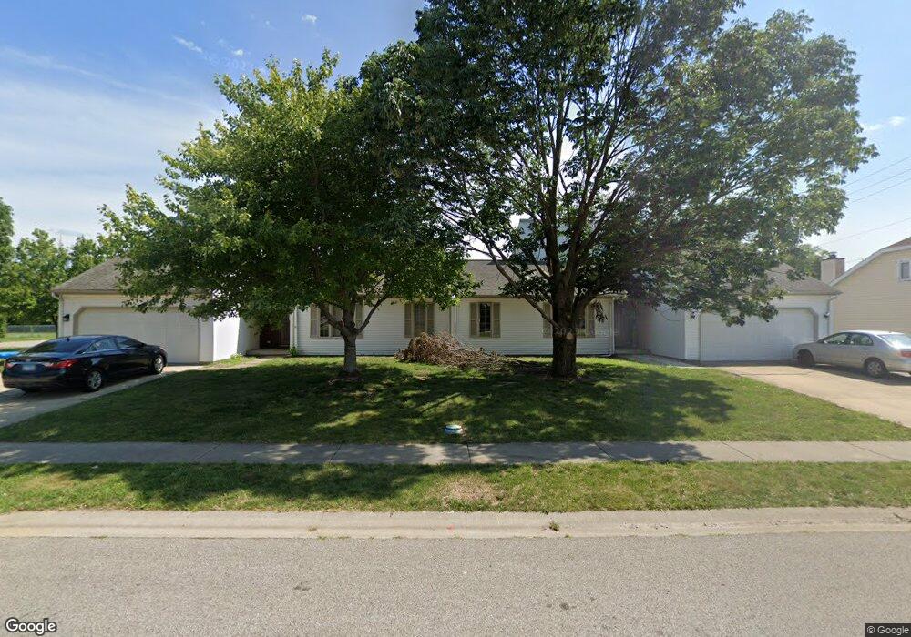
1074 Christopher Ln Springfield, IL 62712
Estimated Value: $108,000 - $202,000
Studio
--
Bath
--
Sq Ft
6,229
Sq Ft Lot
About This Home
This home is located at 1074 Christopher Ln, Springfield, IL 62712 and is currently estimated at $149,333. 1074 Christopher Ln is a home located in Sangamon County with nearby schools including Glenwood Elementary School, Glenwood Intermediate School, and Glenwood Middle School.
Ownership History
Date
Name
Owned For
Owner Type
Purchase Details
Closed on
Sep 6, 2022
Sold by
Rahman Noorunisa Safia
Bought by
Rahman M Adil
Current Estimated Value
Home Financials for this Owner
Home Financials are based on the most recent Mortgage that was taken out on this home.
Original Mortgage
$74,000
Outstanding Balance
$52,983
Interest Rate
4.58%
Mortgage Type
New Conventional
Estimated Equity
$96,350
Purchase Details
Closed on
May 5, 2022
Sold by
Rahman Mohammed E
Bought by
Rahman M Adil
Purchase Details
Closed on
Nov 20, 2007
Purchase Details
Closed on
Apr 11, 2003
Create a Home Valuation Report for This Property
The Home Valuation Report is an in-depth analysis detailing your home's value as well as a comparison with similar homes in the area
Purchase History
| Date | Buyer | Sale Price | Title Company |
|---|---|---|---|
| Rahman M Adil | $73,300 | None Listed On Document | |
| Rahman M Adil | -- | Bruce S Bonczyk Law Office | |
| -- | -- | -- | |
| -- | -- | -- |
Source: Public Records
Mortgage History
| Date | Status | Borrower | Loan Amount |
|---|---|---|---|
| Open | Rahman M Adil | $74,000 |
Source: Public Records
Tax History
| Year | Tax Paid | Tax Assessment Tax Assessment Total Assessment is a certain percentage of the fair market value that is determined by local assessors to be the total taxable value of land and additions on the property. | Land | Improvement |
|---|---|---|---|---|
| 2024 | $3,526 | $47,820 | $6,209 | $41,611 |
| 2023 | $3,354 | $43,679 | $5,671 | $38,008 |
| 2022 | $3,213 | $41,105 | $5,378 | $35,727 |
| 2021 | $3,123 | $39,566 | $5,177 | $34,389 |
| 2020 | $3,109 | $39,626 | $5,185 | $34,441 |
| 2019 | $3,057 | $39,488 | $5,167 | $34,321 |
| 2018 | $2,924 | $38,395 | $5,142 | $33,253 |
| 2017 | $2,865 | $37,899 | $5,076 | $32,823 |
| 2016 | $2,817 | $37,346 | $5,002 | $32,344 |
| 2015 | $2,808 | $36,899 | $4,942 | $31,957 |
| 2014 | $2,732 | $36,661 | $4,910 | $31,751 |
| 2013 | $2,710 | $35,807 | $4,909 | $30,898 |
Source: Public Records
Map
Nearby Homes
- 1112 Christopher Ln
- 6501 Winterberry Ln
- 6214 Hayley Ct
- 0 Toronto Rd
- 6200 Wind Tree Rd
- 6401 Raintree Place
- 2311 Chesapeake Landing
- 2315 Chesapeake Landing
- 13 Sarah Ave
- 8033 Wilson Terrace
- 8117 Tack Ln
- 5 Oakwood Dr
- 1901 Fieldstone Ct
- 1909 Fieldstone Ct
- 1905 Fieldstone Ct
- 1823 Willow Bend St
- Lot 60 Spartan Dr
- Lot 70 Spartan Dr
- Lot 63 Spartan Dr
- Lot 65 Spartan Dr
Your Personal Tour Guide
Ask me questions while you tour the home.