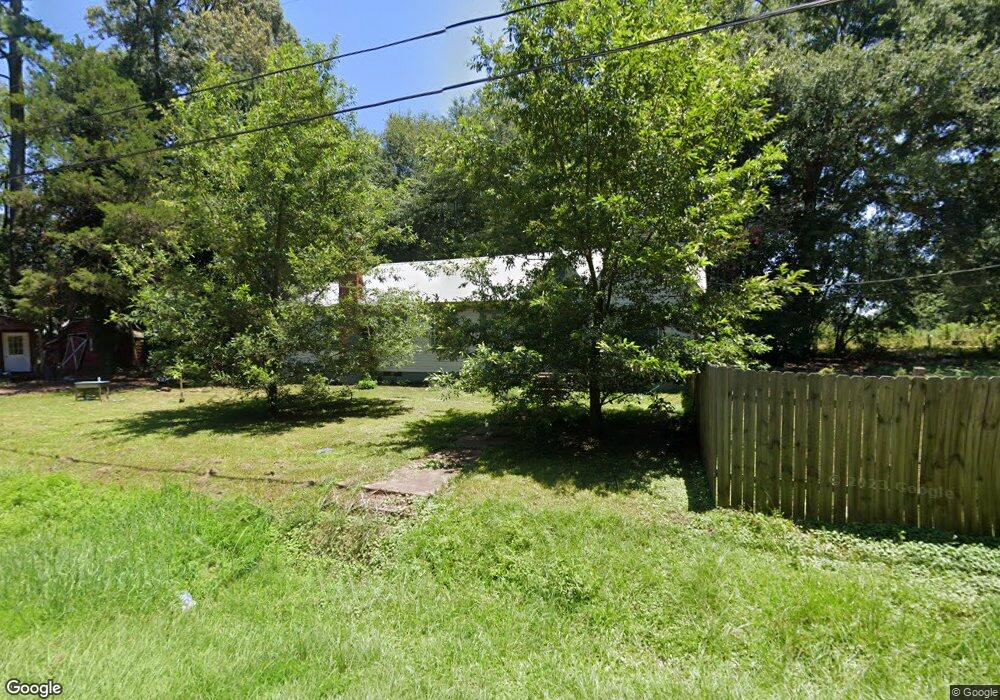
1074 Hardie St Wesson, MS 39191
Estimated Value: $106,411 - $208,000
About This Home
This home is located at 1074 Hardie St, Wesson, MS 39191 and is currently estimated at $156,103, approximately $72 per square foot. 1074 Hardie St is a home located in Copiah County.
Ownership History
We collect this data history from publicly available records. To have your information removed, we recommend requesting removal directly through your county’s website.
Purchase Details
Home Financials for this Owner
Home Financials are based on the most recent Mortgage that was taken out on this home.Purchase History
We collect this data history from publicly available records. To have your information removed, we recommend requesting removal directly through your county’s website.
| Date | Buyer | Sale Price | Title Company |
|---|---|---|---|
| -- | -- |
Mortgage History
We collect this data history from publicly available records. To have your information removed, we recommend requesting removal directly through your county’s website.
| Date | Status | Borrower | Loan Amount |
|---|---|---|---|
| Closed | $58,921 |
Tax History
We collect this data history from publicly available records. To have your information removed, we recommend requesting removal directly through your county’s website.
| Year | Tax Paid | Tax Assessment Tax Assessment Total Assessment is a certain percentage of the fair market value that is determined by local assessors to be the total taxable value of land and additions on the property. | Land | Improvement |
|---|---|---|---|---|
| 2025 | $199 | $2,546 | $0 | $0 |
| 2024 | $4 | $4,684 | $0 | $0 |
| 2023 | $394 | $4,682 | $0 | $0 |
| 2022 | $399 | $4,679 | $0 | $0 |
| 2021 | $383 | $4,677 | $0 | $0 |
| 2020 | $553 | $4,396 | $0 | $0 |
| 2019 | $380 | $4,393 | $0 | $0 |
| 2018 | $373 | $4,396 | $0 | $0 |
| 2017 | $393 | $4,393 | $0 | $0 |
| 2016 | $393 | $4,050 | $0 | $0 |
| 2015 | $612 | $3,920 | $0 | $0 |
| 2014 | $612 | $6,208 | $0 | $0 |
Map
- 0 Loom St
- 1082 E Railroad Ave
- 1005 Short St
- 1001 Lumley Ln
- 0 Wells St
- 1089 Wells St
- 1079 Beech St
- 0 00 Milltowne Dr
- 0 Milltownte Dr
- 000 Grover Smith Ln
- 3085 Beauregard Rd
- 2127 Anderson Rd
- 596 Mount Zion Rd
- 589 Mount Zion Rd
- 594 Mount Zion Rd
- 000 Furrs Mill Dr NE
- 0 Furrs Mill Dr NE
- 2548 Furrs Mill Dr NE
- 4194 Martinsville Rd
- 4174 Anderson Rd
- 1066 Hardie St
- 1143 Russell Cir
- 1146 Russell Cr
- 1146 Russell Cir
- 1050 Hardie St
- 1003 A D Whitt Dr
- 1098 Hardie St
- 1014 A D Whitt Dr
- 1114 Loom St
- 1120a Hardie St
- 00 Hardie St
- 0 A D Whitt Dr Unit 120166
- 0 A D Whitt Dr Unit 122378
- 1006 South St
- 1017 Hardie St
- 1120 Hardie St
- 1012 South St
- 1027 A D Whitt Dr
- 1004 South St
- 1004 South St
Ask me questions while you tour the home.