1074 High Point Ln Lakeside, MT 59922
Estimated Value: $1,937,000 - $2,257,000
About This Home
This home is located at 1074 High Point Ln, Lakeside, MT 59922 and is currently estimated at $2,091,827, approximately $337 per square foot. 1074 High Point Ln is a home located in Flathead County with nearby schools including Lakeside Elementary School, Somers Middle School, and Flathead High School.
Ownership History
We collect this data history from publicly available records. To have your information removed, we recommend requesting removal directly through your county’s website.
Purchase Details
Home Financials for this Owner
Home Financials are based on the most recent Mortgage that was taken out on this home.Home Values in the Area
Average Home Value in this Area
Purchase History
We collect this data history from publicly available records. To have your information removed, we recommend requesting removal directly through your county’s website.
| Date | Buyer | Sale Price | Title Company |
|---|---|---|---|
| -- | Insured Titles |
Mortgage History
We collect this data history from publicly available records. To have your information removed, we recommend requesting removal directly through your county’s website.
| Date | Status | Borrower | Loan Amount |
|---|---|---|---|
| Open | $417,000 |
Tax History
We collect this data history from publicly available records. To have your information removed, we recommend requesting removal directly through your county’s website.
| Year | Tax Paid | Tax Assessment Tax Assessment Total Assessment is a certain percentage of the fair market value that is determined by local assessors to be the total taxable value of land and additions on the property. | Land | Improvement |
|---|---|---|---|---|
| 2025 | $6,782 | $1,580,800 | $0 | $0 |
| 2024 | $7,545 | $1,381,900 | $0 | $0 |
| 2023 | $7,567 | $1,381,900 | $0 | $0 |
| 2022 | $6,781 | $899,190 | $0 | $0 |
| 2021 | $6,759 | $899,190 | $0 | $0 |
| 2020 | $6,914 | $882,400 | $0 | $0 |
| 2019 | $6,841 | $882,400 | $0 | $0 |
| 2018 | $6,717 | $825,700 | $0 | $0 |
| 2017 | $6,195 | $825,700 | $0 | $0 |
| 2016 | $5,860 | $816,300 | $0 | $0 |
| 2015 | $6,076 | $816,300 | $0 | $0 |
| 2014 | $5,911 | $498,501 | $0 | $0 |
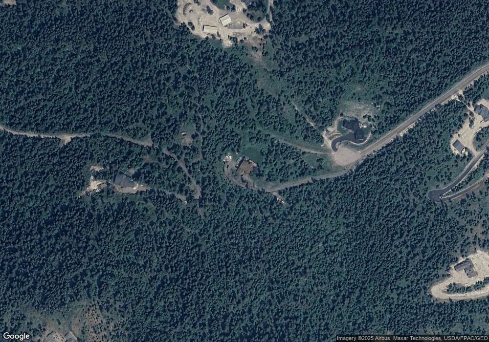
Map
- 351 Ridge Line Dr
- 351, 367 Ridge Line Dr
- 367 Ridge Line Dr
- 149 Monet Rd
- 410 Blacktail Heights Rd
- 143 Parkview Ln
- 108 Spoklie Dr
- 240 Blacktail Rd
- 103 Tamarack Woods Dr
- 138 Crystal View Ct
- 100 Political Hill Rd
- 480 Political Hill Rd
- 207 Stoner Loop Unit A
- 263 Spurwing Loop
- 166 Blacktail Loop
- 27 Bayview Dr
- 142 Blacktail Loop
- 123 Blacktail Loop
- 129 Blacktail Loop
- 7860 US Hwy 93 S
- 1056 High Point Ln
- 1075 High Point Ln
- 1075 High Point Ln Unit PH 3 LOT 9
- 1075 High Point Ln Unit Lot 9
- 1075 High Point Lane Lot 9
- 1057 High Point Lane Lot 8
- 1057 High Point Ln Unit Lot 8
- 1057 High Point Ln
- 1038 High Point Ln Unit PHASE 3 LOT 12
- 1038 High Point Ln
- 1039 High Point Ln
- 1039 High Point Ln Unit PH 3 LOT 7
- 1039 High Point Ln Unit Lot 7
- 1039 High Point Lane Lot 7
- 350 Tamarack Woods Dr
- 0 Nhn Woodacres
- 47 Apple Ridge Trail
- 1020 High Point Ln
- 245 Ridge Line Dr
- 45 Osprey Trail
Ask me questions while you tour the home.