1074 Plymouth Rd McCall, ID 83638
Estimated Value: $672,126 - $1,143,000
4
Beds
2
Baths
1,776
Sq Ft
$499/Sq Ft
Est. Value
About This Home
This home is located at 1074 Plymouth Rd, McCall, ID 83638 and is currently estimated at $886,282, approximately $499 per square foot. 1074 Plymouth Rd is a home with nearby schools including McCall-Donnelly High School and The North Fork School.
Ownership History
Date
Name
Owned For
Owner Type
Purchase Details
Closed on
Apr 4, 2019
Sold by
Crookham George
Bought by
The Mary Crookham Cabin Trust
Current Estimated Value
Purchase Details
Closed on
Jan 14, 2016
Sold by
Crookham Berit G
Bought by
Crookham Mary Ann
Purchase Details
Closed on
Jan 11, 2016
Sold by
Crookham William L
Bought by
Crookham Berit G
Purchase Details
Closed on
Jul 8, 2011
Sold by
Grakham Kristi
Bought by
Crookham Mary Ann
Create a Home Valuation Report for This Property
The Home Valuation Report is an in-depth analysis detailing your home's value as well as a comparison with similar homes in the area
Home Values in the Area
Average Home Value in this Area
Purchase History
| Date | Buyer | Sale Price | Title Company |
|---|---|---|---|
| The Mary Crookham Cabin Trust | -- | None Available | |
| Crookham Mary Ann | -- | Pioneer Title Canyon Caldwel | |
| Crookham Berit G | -- | Pioneer Title Canyon Caldwel | |
| Crookham Mary Ann | -- | -- |
Source: Public Records
Tax History Compared to Growth
Tax History
| Year | Tax Paid | Tax Assessment Tax Assessment Total Assessment is a certain percentage of the fair market value that is determined by local assessors to be the total taxable value of land and additions on the property. | Land | Improvement |
|---|---|---|---|---|
| 2025 | $1,424 | $565,871 | $235,415 | $330,456 |
| 2023 | $1,424 | $575,879 | $235,415 | $340,464 |
| 2022 | $1,526 | $550,016 | $258,956 | $291,060 |
| 2021 | $1,545 | $354,104 | $104,629 | $249,475 |
| 2020 | $1,556 | $307,934 | $119,606 | $188,328 |
| 2019 | $1,790 | $338,153 | $126,527 | $211,626 |
| 2018 | $1,651 | $287,607 | $129,737 | $157,870 |
| 2017 | $1,583 | $238,566 | $90,409 | $148,157 |
| 2016 | $1,846 | $273,698 | $90,330 | $183,368 |
| 2015 | $1,694 | $238,592 | $0 | $0 |
| 2013 | -- | $253,007 | $0 | $0 |
Source: Public Records
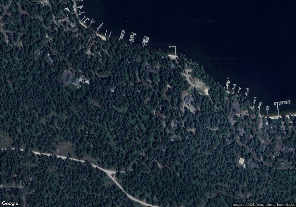
Map
Nearby Homes
- 2097 Water Lily Unit 2
- 959 Conifer Ln
- 1089 Graham Dr
- 1105 Graham Dr
- 1047 Kaitlyn Loop
- 1685 Ginney Way
- 1425 Dragonfly Loop
- TBD Dragonfly Loop
- TBD Dragonfly Loop Unit 72
- 1484 Dragonfly Loop
- 1400 & 1404 Mountain Meadow Dr
- 1400&04 Mountain Meadow Dr Unit 8 & 9
- 1250 Aspen Ridge Ln Unit 112
- 13915 Sky View Ct
- 13910 Sky View Ct Unit 8
- 13917 Sky View Ct
- 1702 Pine Cir
- 1702 Pine Cir Unit 15
- 320 Mountain Cove Ct
- 1210 Aspen Ridge Ln Unit 96
- 1076 Plymouth Rd
- 1070 Plymouth Rd
- 1080 Plymouth Rd
- 1066 Plymouth Rd
- 1067 Plymouth
- 1062 Plymouth Rd
- 167 Plymouth Rd
- 1073 Plymouth Rd
- 1081 Plymouth Rd
- 1069 Plymouth Rd
- 1060 Plymouth Rd
- 1085 Plymouth Rd
- 1087 Plymouth Rd
- 1058 Plymouth Rd
- 1089 Plymouth Rd
- 1075 Mayflower Ln
- 1056 Plymouth Rd
- 1087 Mayflower Ln
- 1087 Mayflower Ln Unit 5
- 1054 Plymouth Rd