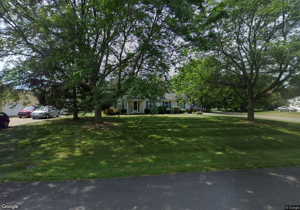
1074 Royce St NW Uniontown, OH 44685
Estimated Value: $311,478 - $365,000
3
Beds
3
Baths
1,872
Sq Ft
$180/Sq Ft
Est. Value
About This Home
This home is located at 1074 Royce St NW, Uniontown, OH 44685 and is currently estimated at $336,120, approximately $179 per square foot. 1074 Royce St NW is a home located in Stark County with nearby schools including Lake Middle/High School and Lake Center Christian School.
Ownership History
Date
Name
Owned For
Owner Type
Purchase Details
Closed on
Jul 6, 2016
Bought by
Raymond A Leasure and Margaret L Leasure
Current Estimated Value
Home Financials for this Owner
Home Financials are based on the most recent Mortgage that was taken out on this home.
Interest Rate
3.48%
Purchase Details
Closed on
Mar 16, 1990
Purchase Details
Closed on
Dec 1, 1989
Create a Home Valuation Report for This Property
The Home Valuation Report is an in-depth analysis detailing your home's value as well as a comparison with similar homes in the area
Home Values in the Area
Average Home Value in this Area
Purchase History
| Date | Buyer | Sale Price | Title Company |
|---|---|---|---|
| Raymond A Leasure | -- | -- | |
| -- | $80,900 | -- | |
| -- | $10,000 | -- |
Source: Public Records
Mortgage History
| Date | Status | Borrower | Loan Amount |
|---|---|---|---|
| Closed | Raymond A Leasure | -- |
Source: Public Records
Tax History Compared to Growth
Tax History
| Year | Tax Paid | Tax Assessment Tax Assessment Total Assessment is a certain percentage of the fair market value that is determined by local assessors to be the total taxable value of land and additions on the property. | Land | Improvement |
|---|---|---|---|---|
| 2025 | -- | $101,080 | $22,260 | $78,820 |
| 2024 | -- | $101,080 | $22,260 | $78,820 |
| 2023 | $3,351 | $71,830 | $13,900 | $57,930 |
| 2022 | $2,002 | $71,830 | $13,900 | $57,930 |
| 2021 | $2,029 | $71,830 | $13,900 | $57,930 |
| 2020 | $3,267 | $61,880 | $11,970 | $49,910 |
| 2019 | $645 | $61,880 | $11,970 | $49,910 |
| 2018 | $3,238 | $61,880 | $11,970 | $49,910 |
| 2017 | $2,741 | $48,650 | $11,970 | $36,680 |
| 2016 | $2,746 | $48,650 | $11,970 | $36,680 |
| 2015 | $2,744 | $48,650 | $11,970 | $36,680 |
| 2014 | $365 | $43,650 | $10,750 | $32,900 |
| 2013 | $1,183 | $43,650 | $10,750 | $32,900 |
Source: Public Records
Map
Nearby Homes
- 1037 Canyon St NE
- 1771 Midway St NW
- 12055 King Church Ave NW
- 11121 Geib Ave NE
- 747 Grandview Cir
- 786 Fair Vista Cir SW
- 778 Fair Vista Cir SW
- 531 Gentlebrook Blvd SW
- 2084 Hazel St NE
- 525 Gentlebrook Blvd SW
- 550 Woodlands Glen Ave
- 9790 Smithdale Ave NE
- 425 Tonawanda Trail SW
- 1975 Eloise Cir NE
- 11900 Geib Ave NE
- 9766 Smithdale Ave NE
- 510 Meadow Cir SW Unit 11
- 12201 King Church Ave NW
- 1180 Tessa Trail Unit 1180
- Unit 9 Meadow Trail SW Unit 9
- 1054 Royce St NW
- 1106 Royce St NW
- 1034 Royce St NW
- 10956 Titus Ave NW
- 10835 Market Ave NW
- 1128 Royce St NW
- 1107 Royce St NW
- 1018 Royce St NW
- 10976 Titus Ave NW
- 10971 Market Ave NW
- 1144 Royce St NW
- 1127 Royce St NW
- 10996 Titus Ave NW
- 10991 Titus Ave NW
- 10785 Market Ave NW
- 1147 Royce St NW
- 1162 Royce St NW
- 11014 Titus Ave NW
- 11017 Market Ave NW
- 1169 Royce St NW