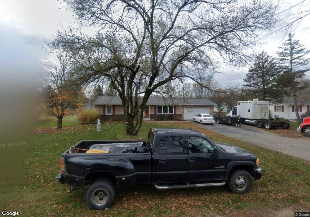
1074 Sir Knight Rd Plainwell, MI 49080
Estimated Value: $266,000 - $292,000
3
Beds
3
Baths
2,492
Sq Ft
$113/Sq Ft
Est. Value
About This Home
This home is located at 1074 Sir Knight Rd, Plainwell, MI 49080 and is currently estimated at $280,660, approximately $112 per square foot. 1074 Sir Knight Rd is a home located in Allegan County with nearby schools including Plainwell High School and Otsego Christian Academy.
Ownership History
Date
Name
Owned For
Owner Type
Purchase Details
Closed on
Nov 17, 2006
Sold by
Alkire Nathan and Alkire Kristin
Bought by
Edney Curtis J and Edney Julianna Ray
Current Estimated Value
Home Financials for this Owner
Home Financials are based on the most recent Mortgage that was taken out on this home.
Original Mortgage
$145,847
Outstanding Balance
$87,236
Interest Rate
6.41%
Mortgage Type
FHA
Estimated Equity
$193,424
Create a Home Valuation Report for This Property
The Home Valuation Report is an in-depth analysis detailing your home's value as well as a comparison with similar homes in the area
Home Values in the Area
Average Home Value in this Area
Purchase History
| Date | Buyer | Sale Price | Title Company |
|---|---|---|---|
| Edney Curtis J | $147,000 | Chicago Title |
Source: Public Records
Mortgage History
| Date | Status | Borrower | Loan Amount |
|---|---|---|---|
| Open | Edney Curtis J | $145,847 |
Source: Public Records
Tax History Compared to Growth
Tax History
| Year | Tax Paid | Tax Assessment Tax Assessment Total Assessment is a certain percentage of the fair market value that is determined by local assessors to be the total taxable value of land and additions on the property. | Land | Improvement |
|---|---|---|---|---|
| 2025 | $2,553 | $133,500 | $14,000 | $119,500 |
| 2024 | $2,328 | $127,800 | $13,500 | $114,300 |
| 2023 | $2,365 | $118,900 | $13,100 | $105,800 |
| 2022 | $2,328 | $70,700 | $8,100 | $62,600 |
| 2021 | $2,174 | $70,300 | $6,000 | $64,300 |
| 2020 | $2,174 | $75,200 | $4,300 | $70,900 |
| 2019 | $0 | $73,300 | $4,300 | $69,000 |
| 2018 | $0 | $71,600 | $9,300 | $62,300 |
| 2017 | $0 | $71,300 | $9,300 | $62,000 |
| 2016 | $0 | $65,400 | $9,300 | $56,100 |
| 2015 | -- | $65,400 | $9,300 | $56,100 |
| 2014 | -- | $65,400 | $9,300 | $56,100 |
| 2013 | -- | $61,600 | $9,300 | $52,300 |
Source: Public Records
Map
Nearby Homes
- 1081 Sir Knight Rd
- 1036 Sir Knight Rd
- 518 Foxmoor Dr Unit 39
- 965 Miller Rd
- 1177 106th Ave
- 1183 Miller Rd
- 455 N 10th St
- 1025 Allen Ct
- 950 Lafayette St
- VL 107th Ave
- 771 N Main St
- 140 W 1st Ave
- 623 Glenview Cir
- 390 12th St
- 315 W Allegan St
- 787 Autumn Dr
- 355 12th St
- 426 W Bridge St
- 551 W Bridge St
- 204 N Sherwood Ave
- 1078 Sir Knight Rd
- 1075 Sir Knight Rd
- 1071 Sir Knight Rd
- 1070 Sir Knight Rd
- 1079 Sir Knight Rd
- 1082 Sir Knight Rd
- 1077 Miller Rd
- 1079 Miller Rd
- 1068 Sir Knight Rd
- 1069 Sir Knight Rd
- 1081 Miller Rd
- 1086 Sir Knight Rd
- 1071 Miller Rd
- 1063 Sir Knight Rd
- 1085 Sir Knight Rd
- 1060 Sir Knight Rd
- 1055 Sir Knight Rd
- 1090 Sir Knight Rd
- 36 Sir Knight Rd
- 1059 Sir Knight Rd