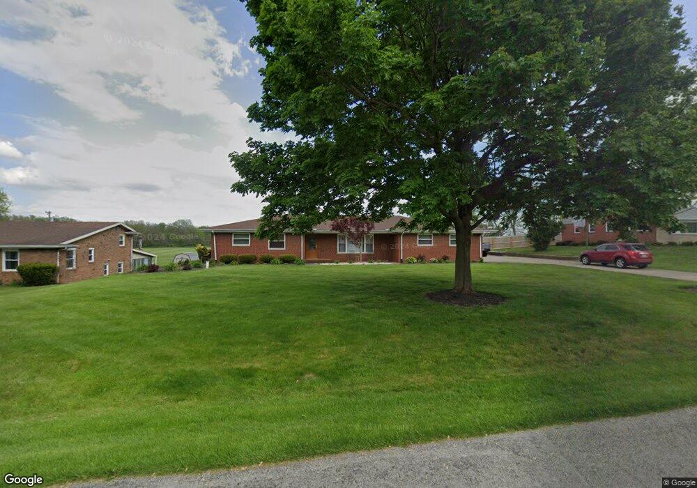
1074 Steven Circle Dr New Carlisle, OH 45344
Estimated Value: $243,000 - $301,000
4
Beds
2
Baths
2,307
Sq Ft
$124/Sq Ft
Est. Value
About This Home
This home is located at 1074 Steven Circle Dr, New Carlisle, OH 45344 and is currently estimated at $285,861, approximately $123 per square foot. 1074 Steven Circle Dr is a home located in Clark County with nearby schools including New Carlisle Elementary School, Park Layne Elementary School, and Donnelsville Elementary School.
Ownership History
Date
Name
Owned For
Owner Type
Purchase Details
Closed on
Apr 18, 2012
Sold by
Boo John W
Bought by
Fell Douglas L and Fell Jennifer L
Current Estimated Value
Home Financials for this Owner
Home Financials are based on the most recent Mortgage that was taken out on this home.
Original Mortgage
$140,000
Outstanding Balance
$96,308
Interest Rate
3.9%
Mortgage Type
New Conventional
Estimated Equity
$189,553
Purchase Details
Closed on
Sep 28, 1993
Sold by
Gorman James M and Gorman Mary W
Bought by
Bobo John W and Bobo Mija
Purchase Details
Closed on
Aug 9, 1993
Create a Home Valuation Report for This Property
The Home Valuation Report is an in-depth analysis detailing your home's value as well as a comparison with similar homes in the area
Home Values in the Area
Average Home Value in this Area
Purchase History
| Date | Buyer | Sale Price | Title Company |
|---|---|---|---|
| Fell Douglas L | $175,000 | None Available | |
| Bobo John W | $120,000 | -- | |
| -- | -- | -- |
Source: Public Records
Mortgage History
| Date | Status | Borrower | Loan Amount |
|---|---|---|---|
| Open | Fell Douglas L | $140,000 |
Source: Public Records
Tax History Compared to Growth
Tax History
| Year | Tax Paid | Tax Assessment Tax Assessment Total Assessment is a certain percentage of the fair market value that is determined by local assessors to be the total taxable value of land and additions on the property. | Land | Improvement |
|---|---|---|---|---|
| 2024 | $3,563 | $74,820 | $7,060 | $67,760 |
| 2023 | $3,563 | $74,820 | $7,060 | $67,760 |
| 2022 | $3,570 | $74,820 | $7,060 | $67,760 |
| 2021 | $3,526 | $66,910 | $5,740 | $61,170 |
| 2020 | $3,535 | $66,910 | $5,740 | $61,170 |
| 2019 | $3,535 | $66,910 | $5,740 | $61,170 |
| 2018 | $2,838 | $49,830 | $5,740 | $44,090 |
| 2017 | $2,776 | $65,608 | $5,744 | $59,864 |
| 2016 | $2,659 | $65,608 | $5,744 | $59,864 |
| 2015 | $3,062 | $63,018 | $5,744 | $57,274 |
| 2014 | $3,045 | $63,018 | $5,744 | $57,274 |
| 2013 | $3,051 | $63,018 | $5,744 | $57,274 |
Source: Public Records
Map
Nearby Homes
- 210 Zimmerman St
- 211 N Clay St
- 805 Brookfield Dr
- 315 N Main St
- 315 Fenwick Dr
- 907 White Pine St
- 202 Fenwick Dr
- 906 N Scott St
- 1234 Wind Rock Dr
- 1204 N Scott St
- 11501 Zeller Dr
- 6764 Bethelville Dr
- 203 Monroe Way
- 1212 N Scott St
- 1206 N Scott St
- 1205 N Scott St
- 1209 N Scott St
- 1210 N Scott St
- 201 Lightfoot Ct
- 10850 Musselman Rd
- 1082 Steven Circle Dr
- 1068 Steven Circle Dr
- 1005 Steven Circle Dr
- 1061 Steven Circle Dr
- 1062 Steven Circle Dr
- 1096 Gary Ln
- 1015 Steven Circle Dr
- 1059 Steven Circle Dr
- 1008 Steven Circle Dr
- 1042 Steven Circle Dr
- 1106 Gary Ln
- 1107 Steven Circle Dr
- 1053 Steven Circle Dr
- 1119 Steven Circle Dr
- 1118 Gary Ln
- 1020 Steven Circle Dr
- 1131 Steven Circle Dr
- 1031 Steven Circle Dr
- 1028 Steven Circle Dr
- 1039 Steven Circle Dr