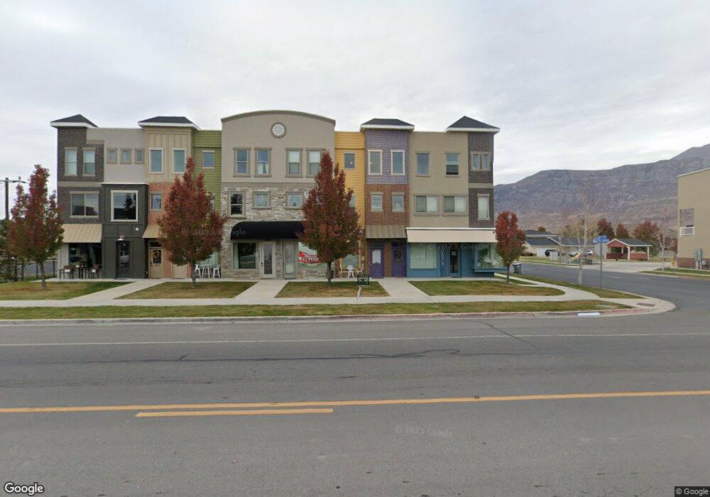
1074 W 700 S Pleasant Grove, UT 84062
Estimated Value: $593,940
--
Bed
3
Baths
2,268
Sq Ft
$262/Sq Ft
Est. Value
About This Home
This home is located at 1074 W 700 S, Pleasant Grove, UT 84062 and is currently estimated at $593,940, approximately $261 per square foot. 1074 W 700 S is a home located in Utah County with nearby schools including Mount Mahogany School, Pleasant Grove Junior High School, and Pleasant Grove High School.
Ownership History
Date
Name
Owned For
Owner Type
Purchase Details
Closed on
Dec 14, 2017
Sold by
Koivu Bradley
Bought by
Koivu Bradley D and The Bradley D Koivu Revocable
Current Estimated Value
Purchase Details
Closed on
Aug 26, 2016
Sold by
Koivu Brad
Bought by
Koivu Bradley
Home Financials for this Owner
Home Financials are based on the most recent Mortgage that was taken out on this home.
Original Mortgage
$227,000
Outstanding Balance
$181,435
Interest Rate
3.45%
Mortgage Type
Commercial
Estimated Equity
$412,505
Purchase Details
Closed on
Sep 5, 2014
Sold by
Vollkommen Construction Llc
Bought by
Koivu Brad
Home Financials for this Owner
Home Financials are based on the most recent Mortgage that was taken out on this home.
Original Mortgage
$227,653
Interest Rate
4.09%
Mortgage Type
Commercial
Create a Home Valuation Report for This Property
The Home Valuation Report is an in-depth analysis detailing your home's value as well as a comparison with similar homes in the area
Home Values in the Area
Average Home Value in this Area
Purchase History
| Date | Buyer | Sale Price | Title Company |
|---|---|---|---|
| Koivu Bradley D | -- | None Available | |
| Koivu Bradley | -- | Invest Title | |
| Koivu Brad | -- | United West Title |
Source: Public Records
Mortgage History
| Date | Status | Borrower | Loan Amount |
|---|---|---|---|
| Open | Koivu Bradley | $227,000 | |
| Closed | Koivu Brad | $227,653 |
Source: Public Records
Tax History Compared to Growth
Tax History
| Year | Tax Paid | Tax Assessment Tax Assessment Total Assessment is a certain percentage of the fair market value that is determined by local assessors to be the total taxable value of land and additions on the property. | Land | Improvement |
|---|---|---|---|---|
| 2025 | $2,803 | $497,600 | $58,800 | $438,800 |
| 2024 | $2,803 | $327,130 | $0 | $0 |
| 2023 | $2,331 | $284,735 | $0 | $0 |
| 2022 | $2,312 | $406,400 | $51,800 | $354,600 |
| 2021 | $1,982 | $311,000 | $51,800 | $259,200 |
| 2020 | $2,021 | $311,000 | $51,800 | $259,200 |
| 2019 | $1,760 | $265,800 | $30,200 | $235,600 |
| 2018 | $1,861 | $265,800 | $30,200 | $235,600 |
| 2017 | $1,922 | $181,605 | $0 | $0 |
| 2016 | $1,991 | $181,605 | $0 | $0 |
| 2015 | $2,103 | $181,605 | $0 | $0 |
| 2014 | $217 | $18,600 | $0 | $0 |
Source: Public Records
Map
Nearby Homes
- 963 W 670 S Unit 20
- 929 W 670 S Unit 9
- 584 S 980 W Unit 58
- 851 W 310 S
- 364 S 700 W
- 278 S 740 W
- 1434 W Watson Ln
- 1208 W 80 S
- 1211 W 20 S
- 1267 W 20 S
- Washington Farmhouse Plan at Anderson Farms
- 1078 W 70 N
- 1597 W 80 S
- 611 N Briarwood Ln
- 128 S 1700 W Unit 12
- 1249 W Cambria Dr Unit 101
- The Henley B Plan at Tayside Farm - Single Family Home
- The Hastings Plan at Tayside Farm - Townhome
- The Henley A Plan at Tayside Farm - Single Family Home
- The Denton Plan at Tayside Farm - Townhome