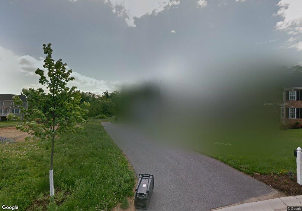
10741 Taylor Farm Rd Woodstock, MD 21163
Waverly Woods NeighborhoodEstimated Value: $917,000 - $1,223,000
--
Bed
1
Bath
3,502
Sq Ft
$291/Sq Ft
Est. Value
About This Home
This home is located at 10741 Taylor Farm Rd, Woodstock, MD 21163 and is currently estimated at $1,017,663, approximately $290 per square foot. 10741 Taylor Farm Rd is a home located in Howard County with nearby schools including Waverly Elementary School, Mount View Middle School, and Marriotts Ridge High School.
Ownership History
Date
Name
Owned For
Owner Type
Purchase Details
Closed on
Mar 11, 2025
Sold by
Peters Erick and Peters Robyn
Bought by
Peters Family Trust and Peters
Current Estimated Value
Purchase Details
Closed on
Jun 16, 2010
Sold by
Friendly Farms Llc
Bought by
Peters Erick and Peters Robyn
Home Financials for this Owner
Home Financials are based on the most recent Mortgage that was taken out on this home.
Original Mortgage
$743,300
Interest Rate
4.99%
Mortgage Type
New Conventional
Create a Home Valuation Report for This Property
The Home Valuation Report is an in-depth analysis detailing your home's value as well as a comparison with similar homes in the area
Home Values in the Area
Average Home Value in this Area
Purchase History
| Date | Buyer | Sale Price | Title Company |
|---|---|---|---|
| Peters Family Trust | -- | None Listed On Document | |
| Peters Family Trust | -- | None Listed On Document | |
| Peters Erick | $435,000 | -- |
Source: Public Records
Mortgage History
| Date | Status | Borrower | Loan Amount |
|---|---|---|---|
| Previous Owner | Peters Erick | $743,300 |
Source: Public Records
Tax History Compared to Growth
Tax History
| Year | Tax Paid | Tax Assessment Tax Assessment Total Assessment is a certain percentage of the fair market value that is determined by local assessors to be the total taxable value of land and additions on the property. | Land | Improvement |
|---|---|---|---|---|
| 2025 | $13,921 | $968,500 | $0 | $0 |
| 2024 | $13,921 | $927,100 | $206,000 | $721,100 |
| 2023 | $13,325 | $897,267 | $0 | $0 |
| 2022 | $9,767 | $867,433 | $0 | $0 |
| 2021 | $11,848 | $837,600 | $238,000 | $599,600 |
| 2020 | $11,564 | $792,567 | $0 | $0 |
| 2019 | $10,779 | $747,533 | $0 | $0 |
| 2018 | $9,973 | $702,500 | $194,000 | $508,500 |
| 2017 | $9,718 | $702,500 | $0 | $0 |
| 2016 | -- | $683,967 | $0 | $0 |
| 2015 | -- | $674,700 | $0 | $0 |
| 2014 | -- | $660,700 | $0 | $0 |
Source: Public Records
Map
Nearby Homes
- 10715 Taylor Farm Rd
- 10682 Hillingdon Rd
- 11100 Chambers Ct Unit C
- 11100 Chambers Ct Unit F
- 11100 Chambers Ct Unit K
- 11110 Chambers Ct Unit A
- 11120 Chambers Ct Unit Q
- 11150 Chambers Ct Unit H
- 1800 Mount Denali Dr
- 2208 Merion Pond
- 2115 Ganton Green Unit G106
- 2111 Ganton Green
- 10655 Breezewood Dr
- 1725 Marriottsville Rd
- 2241 John Gravel Rd Unit M
- 2740 Emma Stone Dr
- 2231 John Gravel Rd Unit L
- 2350 Adam David Way
- 10311 Winstead Ct
- 10225 Green Clover Dr
- 10745 Taylor Farm Rd
- 10737 Taylor Farm Rd
- 10733 Taylor Farm Rd
- 10749 Taylor Farm Rd
- 10729 Taylor Farm Rd
- 10728 Red Dahlia Dr
- 10725 Taylor Farm Rd
- 10726 Taylor Farm Rd
- 10720 Red Dahlia Dr
- 10732 Red Dahlia Dr
- 10905 White Dahlia Dr
- 10721 Taylor Farm Rd
- 10722 Taylor Farm Rd
- 10906 White Dahlia Dr
- 10729 Red Dahlia Dr
- 10725 Red Dahlia Dr
- 10716 Red Dahlia Dr
- 10765 Taylor Farm Rd
- 10736 Red Dahlia Dr
- 10721 Red Dahlia Dr