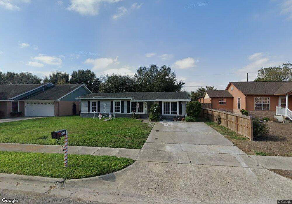
10742 Emmord Loop Corpus Christi, TX 78410
Northwest Corpus Christi NeighborhoodEstimated Value: $182,000 - $247,000
3
Beds
2
Baths
1,340
Sq Ft
$154/Sq Ft
Est. Value
About This Home
This home is located at 10742 Emmord Loop, Corpus Christi, TX 78410 and is currently estimated at $205,950, approximately $153 per square foot. 10742 Emmord Loop is a home located in Nueces County with nearby schools including Tuloso-Midway Primary School, Tuloso-Midway Intermediate School, and Tuloso-Midway Middle.
Ownership History
Date
Name
Owned For
Owner Type
Purchase Details
Closed on
May 15, 2020
Sold by
Green Susan Park and Park Susan
Bought by
Aceves Rebecca A and Aceves Contreras Cesar
Current Estimated Value
Home Financials for this Owner
Home Financials are based on the most recent Mortgage that was taken out on this home.
Original Mortgage
$136,482
Outstanding Balance
$120,942
Interest Rate
3.3%
Mortgage Type
New Conventional
Estimated Equity
$85,008
Purchase Details
Closed on
Jan 28, 2010
Sold by
Green Wayne Allen
Bought by
Green Susan
Create a Home Valuation Report for This Property
The Home Valuation Report is an in-depth analysis detailing your home's value as well as a comparison with similar homes in the area
Home Values in the Area
Average Home Value in this Area
Purchase History
| Date | Buyer | Sale Price | Title Company |
|---|---|---|---|
| Aceves Rebecca A | -- | Texas National Title | |
| Green Susan | -- | None Available |
Source: Public Records
Mortgage History
| Date | Status | Borrower | Loan Amount |
|---|---|---|---|
| Open | Aceves Rebecca A | $136,482 |
Source: Public Records
Tax History Compared to Growth
Tax History
| Year | Tax Paid | Tax Assessment Tax Assessment Total Assessment is a certain percentage of the fair market value that is determined by local assessors to be the total taxable value of land and additions on the property. | Land | Improvement |
|---|---|---|---|---|
| 2025 | $4,163 | $190,952 | -- | -- |
| 2024 | $4,163 | $183,791 | $26,967 | $156,824 |
| 2023 | $4,066 | $185,861 | $26,967 | $158,894 |
| 2022 | $3,634 | $143,465 | $26,967 | $116,498 |
| 2021 | $3,728 | $141,564 | $26,967 | $114,597 |
| 2020 | $3,220 | $120,837 | $26,967 | $93,870 |
| 2019 | $3,433 | $122,140 | $26,967 | $95,173 |
| 2018 | $3,375 | $121,982 | $26,967 | $95,015 |
| 2017 | $3,396 | $123,247 | $26,967 | $96,280 |
| 2016 | $3,087 | $117,886 | $26,967 | $90,919 |
| 2015 | $1,921 | $107,146 | $16,007 | $91,139 |
| 2014 | $1,921 | $100,452 | $16,007 | $84,445 |
Source: Public Records
Map
Nearby Homes
- 10725 Westview Dr
- 10761 Emmord Loop
- 10639 Emmord Loop
- 4249 Starlite Ln
- 4241 Starlite Ln
- 2838 Sage Brush Dr
- 10614 Emmord Loop
- 10610 Hurst Dr
- 2838 Bridle Ln
- 10518 Heizer Dr
- 10802 Timbergrove Ln
- 4314 Leonard Dr
- 2742 Blue Grass Dr
- 3101 Creek Side Dr
- 4522 White Oak Dr
- 11030 Mayfield Dr
- 10946 Birdwood Cir
- 3014 Stone Creek Dr
- Upton Plan at Woodside
- Lakeway Plan at Woodside
- 10744 Emmord Loop
- 10746 Emmord Loop
- 10737 Westview Dr
- 10722 Emmord Loop
- 10733 Westview Dr
- 10729 Westview Dr
- 10675 Veda Dr
- 10696 Hurst Dr
- 10741 Westview Dr
- 10718 Emmord Loop
- 10718 Emmord Loop Unit Loop
- 10694 Hurst Dr
- 10721 Westview Dr
- 10671 Veda Dr
- 10749 Emmord Loop
- 10764 Emmord Loop
- 10717 Emmord Loop
- 10693 Hurst Dr
- 10710 Emmord Loop