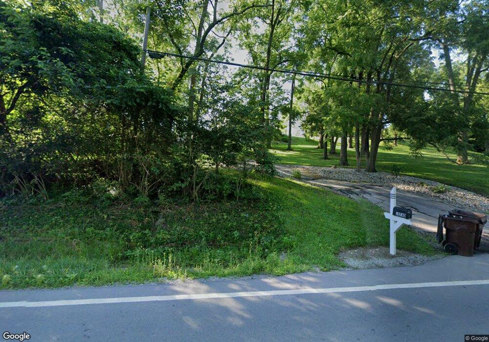
10744 S State Route 48 Loveland, OH 45140
Hamilton Township NeighborhoodEstimated Value: $300,000
3
Beds
1
Bath
1,344
Sq Ft
$223/Sq Ft
Est. Value
About This Home
This home is located at 10744 S State Route 48, Loveland, OH 45140 and is currently priced at $300,000, approximately $223 per square foot. 10744 S State Route 48 is a home located in Warren County with nearby schools including Loveland Primary School, Loveland Elementary School, and Loveland Intermediate School.
Ownership History
Date
Name
Owned For
Owner Type
Purchase Details
Closed on
Aug 25, 2021
Sold by
Sporing John and Sporing John F
Bought by
Dyer Randi Sporing
Current Estimated Value
Home Financials for this Owner
Home Financials are based on the most recent Mortgage that was taken out on this home.
Original Mortgage
$124,000
Outstanding Balance
$112,831
Interest Rate
2.8%
Mortgage Type
New Conventional
Purchase Details
Closed on
Nov 18, 2020
Sold by
Sporing John F
Bought by
Sporing John F
Purchase Details
Closed on
Jun 18, 2002
Sold by
Sporing Christine
Bought by
Sporing John
Purchase Details
Closed on
Jan 16, 1985
Sold by
Sporing Sporing and Sporing Juanita
Bought by
Sporing Sporing and Sporing John F
Purchase Details
Closed on
May 21, 1981
Sold by
Sporing Sporing and Sporing John
Create a Home Valuation Report for This Property
The Home Valuation Report is an in-depth analysis detailing your home's value as well as a comparison with similar homes in the area
Home Values in the Area
Average Home Value in this Area
Purchase History
| Date | Buyer | Sale Price | Title Company |
|---|---|---|---|
| Dyer Randi Sporing | -- | Cincinnatus Title | |
| Sporing John F | -- | Cincinnatus Title | |
| Sporing John F | -- | None Available | |
| Sporing John | $30,000 | -- | |
| Sporing Sporing | -- | -- | |
| -- | -- | -- |
Source: Public Records
Mortgage History
| Date | Status | Borrower | Loan Amount |
|---|---|---|---|
| Open | Sporing John F | $124,000 |
Source: Public Records
Tax History Compared to Growth
Tax History
| Year | Tax Paid | Tax Assessment Tax Assessment Total Assessment is a certain percentage of the fair market value that is determined by local assessors to be the total taxable value of land and additions on the property. | Land | Improvement |
|---|---|---|---|---|
| 2021 | $3,524 | $68,047 | $29,288 | $38,759 |
| 2020 | $3,092 | $55,321 | $23,811 | $31,511 |
| 2019 | $3,212 | $55,321 | $23,811 | $31,511 |
| 2018 | $3,122 | $55,321 | $23,811 | $31,511 |
| 2017 | $2,902 | $49,175 | $20,748 | $28,427 |
| 2016 | $2,996 | $49,175 | $20,748 | $28,427 |
| 2015 | $3,001 | $49,175 | $20,748 | $28,427 |
| 2014 | $2,927 | $45,710 | $19,870 | $25,840 |
| 2013 | $2,736 | $52,510 | $21,590 | $30,920 |
Source: Public Records
Map
Nearby Homes
- 19 Chimney Ridge Dr
- Vaquero Plan at Chimney Ridge
- Lexington Plan at Chimney Ridge
- 28 Heath Ct
- 27 Heath Ct
- 181 Eastbury Dr
- 209 W Decatur Ln
- 10549 S St Rt 48
- 103 Timber Cove
- 436 E Loveland Ave
- 222 Obannon Ave
- 0 Ohio 48
- 0.87ac E Broadway St
- 446 Ohio Ave
- 0 Adams Rd Unit 1858070
- 0 Adams Rd Unit 1832488
- 102 Oak St
- 335 Ruth St
- 334 Robin Ave
- 619 W Loveland Ave
- 10740 S State Route 48
- 10714 S State Route 48
- 10758 S State Route 48
- 10758 St Rt 48
- 21 Chimney Ridge Dr Unit 8
- 16 Paxton Ct
- 16 Paxton Ct Unit 12
- 20 Paxton Ct
- 14 Paxton Ct
- 14 Paxton Ct Unit 11
- 21 Paxton Ct Unit Lot15
- 1085 Baxter Rd
- 1086 Baxter Rd
- 727 Baxter Rd Unit Lot A
- 727 Baxter Rd Unit Lot B
- Lot A Baxter Rd
- 11094 Main St
- 18 Chimney Ridge Dr
- 11 Paxton Ct
- 14 Chimney Ridge Dr
