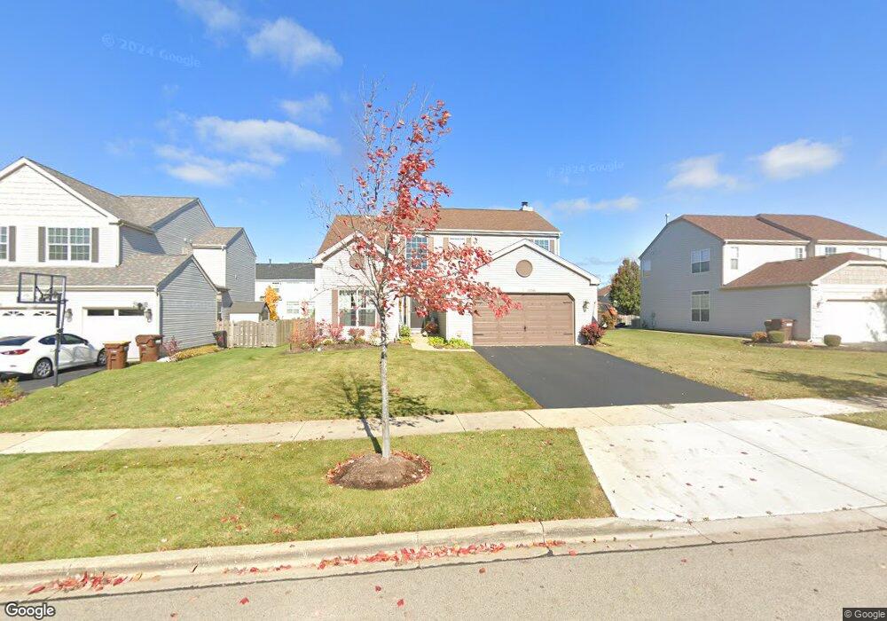
10746 Lone Star Way Huntley, IL 60142
Estimated Value: $456,000 - $483,000
3
Beds
3
Baths
2,636
Sq Ft
$178/Sq Ft
Est. Value
About This Home
This home is located at 10746 Lone Star Way, Huntley, IL 60142 and is currently estimated at $468,715, approximately $177 per square foot. 10746 Lone Star Way is a home located in McHenry County with nearby schools including Martin Elementary School, Chesak Elementary School, and Heineman Middle School.
Ownership History
Date
Name
Owned For
Owner Type
Purchase Details
Closed on
May 10, 2004
Sold by
Wing Pointe North Llc
Bought by
Acevedo Samuel and Acevedo Coleen M
Current Estimated Value
Home Financials for this Owner
Home Financials are based on the most recent Mortgage that was taken out on this home.
Original Mortgage
$291,265
Outstanding Balance
$137,810
Interest Rate
5.63%
Mortgage Type
Purchase Money Mortgage
Estimated Equity
$330,905
Create a Home Valuation Report for This Property
The Home Valuation Report is an in-depth analysis detailing your home's value as well as a comparison with similar homes in the area
Home Values in the Area
Average Home Value in this Area
Purchase History
| Date | Buyer | Sale Price | Title Company |
|---|---|---|---|
| Acevedo Samuel | $321,265 | First American Title |
Source: Public Records
Mortgage History
| Date | Status | Borrower | Loan Amount |
|---|---|---|---|
| Open | Acevedo Samuel | $291,265 |
Source: Public Records
Tax History Compared to Growth
Tax History
| Year | Tax Paid | Tax Assessment Tax Assessment Total Assessment is a certain percentage of the fair market value that is determined by local assessors to be the total taxable value of land and additions on the property. | Land | Improvement |
|---|---|---|---|---|
| 2024 | $9,122 | $136,449 | $11,644 | $124,805 |
| 2023 | $8,869 | $122,574 | $10,460 | $112,114 |
| 2022 | $8,452 | $111,614 | $9,525 | $102,089 |
| 2021 | $8,197 | $105,118 | $8,971 | $96,147 |
| 2020 | $8,061 | $102,315 | $8,732 | $93,583 |
| 2019 | $7,872 | $99,703 | $8,509 | $91,194 |
| 2018 | $8,107 | $101,249 | $9,575 | $91,674 |
| 2017 | $7,946 | $95,419 | $9,024 | $86,395 |
| 2016 | $8,022 | $90,720 | $8,580 | $82,140 |
| 2013 | -- | $73,890 | $14,021 | $59,869 |
Source: Public Records
Map
Nearby Homes
- 0 Ruth Rd Unit MRD12258953
- 2.54 Ruth Rd
- 10783 Chadsey Rd
- 10631 Oregon Trail
- 10794 Saxony St
- 10784 Saxony St
- 10774 Saxony St
- 10764 Saxony St
- 10754 Saxony St
- 10702 Chadsey Rd
- 10795 Saxony St
- 10785 Saxony St
- 10592 Capitol Ln
- 10755 Saxony St
- 10745 Saxony St
- 10880 Potomac Dr
- Easton Plan at Fieldstone
- Briarwood Plan at Fieldstone
- Essex Plan at Fieldstone
- Baldwin Plan at Fieldstone
- 10732 Lone Star Way
- 10760 Lone Star Way
- 10720 Lone Star Way
- 10778 Lone Star Way
- 10747 Allegheny Pass
- 10761 Allegheny Pass
- 10733 Allegheny Pass
- 10747 Lone Star Way
- 10735 Lone Star Way
- 10761 Lone Star Way
- 10721 Allegheny Pass
- 10794 Lone Star Way
- 10706 Lone Star Way
- 10723 Lone Star Way
- 10779 Lone Star Way
- 10795 Allegheny Pass
- 10707 Allegheny Pass
- 10709 Lone Star Way
- 10795 Lone Star Way
- 10692 Lone Star Way