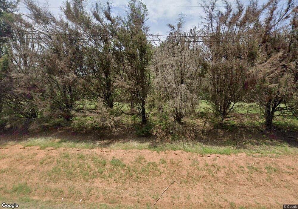
1075 Highway 11 N Social Circle, GA 30025
Estimated Value: $321,214 - $495,000
--
Bed
1
Bath
2,194
Sq Ft
$190/Sq Ft
Est. Value
About This Home
This home is located at 1075 Highway 11 N, Social Circle, GA 30025 and is currently estimated at $417,054, approximately $190 per square foot. 1075 Highway 11 N is a home located in Newton County with nearby schools including Flint Hill Elementary School, Cousins Middle School, and Eastside High School.
Ownership History
Date
Name
Owned For
Owner Type
Purchase Details
Closed on
Oct 6, 2025
Sold by
1075Hwy11north Llc
Bought by
1075Hwy11north Llc
Current Estimated Value
Purchase Details
Closed on
Apr 24, 2024
Sold by
Taylor Andrew R
Bought by
1075Hwy11north Llc
Purchase Details
Closed on
Feb 19, 2001
Sold by
Taylor Terry R
Bought by
Taylor Andrew R
Purchase Details
Closed on
Feb 16, 1999
Sold by
Richardson O D and Richardson Myrtle
Bought by
Taylor Terry R
Home Financials for this Owner
Home Financials are based on the most recent Mortgage that was taken out on this home.
Original Mortgage
$140,300
Interest Rate
6.84%
Mortgage Type
New Conventional
Create a Home Valuation Report for This Property
The Home Valuation Report is an in-depth analysis detailing your home's value as well as a comparison with similar homes in the area
Home Values in the Area
Average Home Value in this Area
Purchase History
| Date | Buyer | Sale Price | Title Company |
|---|---|---|---|
| 1075Hwy11north Llc | -- | -- | |
| 1075Hwy11north Llc | -- | -- | |
| Taylor Andrew R | -- | -- | |
| Taylor Terry R | $155,900 | -- |
Source: Public Records
Mortgage History
| Date | Status | Borrower | Loan Amount |
|---|---|---|---|
| Previous Owner | Taylor Terry R | $140,300 |
Source: Public Records
Tax History Compared to Growth
Tax History
| Year | Tax Paid | Tax Assessment Tax Assessment Total Assessment is a certain percentage of the fair market value that is determined by local assessors to be the total taxable value of land and additions on the property. | Land | Improvement |
|---|---|---|---|---|
| 2025 | $3,363 | $135,160 | $16,240 | $118,920 |
| 2024 | $2,822 | $115,280 | $9,240 | $106,040 |
| 2023 | $2,663 | $102,000 | $9,240 | $92,760 |
| 2022 | $2,531 | $97,160 | $9,240 | $87,920 |
| 2021 | $2,561 | $88,320 | $9,240 | $79,080 |
| 2020 | $2,381 | $74,760 | $11,720 | $63,040 |
| 2019 | $1,866 | $58,600 | $11,720 | $46,880 |
| 2018 | $1,809 | $56,600 | $11,720 | $44,880 |
| 2017 | $1,660 | $52,240 | $11,720 | $40,520 |
| 2016 | $1,660 | $52,240 | $11,720 | $40,520 |
| 2015 | $1,650 | $51,960 | $11,760 | $40,200 |
| 2014 | $1,646 | $51,960 | $0 | $0 |
Source: Public Records
Map
Nearby Homes
- 45 Surrey Chase Dr
- 45 Carolyn Ct Unit 1
- 94 Harris Springs Church Rd
- 0 Highway 11 S Unit 10573906
- 0 Highway 11 S Unit 7623798
- 269 Georgia 11
- 1455 River Cove Rd
- 246 Azalea Farms Rd
- 12956 Us Highway 278
- 90 Cove Ln
- 600 River Cove Rd
- 582 S Cherokee Rd
- 494 Spring St
- 241 E Ash St
- 380 Hickory St SW
- 178 Elder Dr SE Unit 103
- 178 Elder Dr SE
- 100 Saint Andrews Ct
- 152 Orwell Dr
- 164 Orwell Dr
- 1075 Highway 11 N
- 1082 Highway 11 N
- 1072 State Highway 11
- 1072 Highway 11 N
- 428 Hollis Rd
- 0 Surrey Chase Dr Unit 8256811
- 0 Surrey Chase Dr
- 15 Surrey Chase Dr
- 95 Carolyn Ct
- 1102 Highway 11 N
- 1102 Highway 11 N Unit A
- 25 Surrey Chase Dr Unit I
- 1100 Highway 11 N
- 30 Surrey Chase Dr
- 0 Hollis Rd Unit 20005072
- 85 Carolyn Ct
- 1128 Highway 11 N
- 35 Surrey Chase Dr
- 75 Carolyn Ct
- 935 Little River Rd Unit /0
