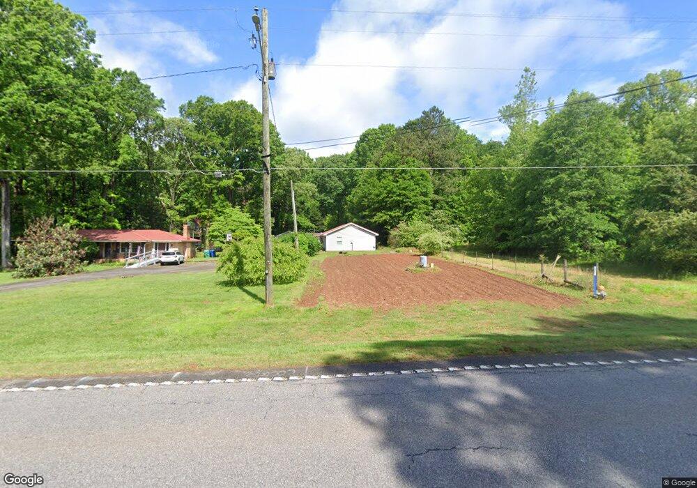
1075 Highway 29 N Danielsville, GA 30633
Estimated Value: $240,000 - $317,000
3
Beds
2
Baths
1,448
Sq Ft
$196/Sq Ft
Est. Value
About This Home
This home is located at 1075 Highway 29 N, Danielsville, GA 30633 and is currently estimated at $284,294, approximately $196 per square foot. 1075 Highway 29 N is a home located in Madison County with nearby schools including Madison County High School.
Ownership History
Date
Name
Owned For
Owner Type
Purchase Details
Closed on
Nov 2, 2021
Sold by
Bond Harvey Paul
Bought by
Bond Charlotte F
Current Estimated Value
Purchase Details
Closed on
Jun 28, 2019
Sold by
Bond Harvey Paul
Bought by
Bond Tracy J and Hall Mischelle M
Purchase Details
Closed on
Dec 7, 2013
Sold by
Bond Harvey Paul
Bought by
Perry Robert W
Purchase Details
Closed on
Nov 20, 2001
Sold by
Bond Paul and Bond Charlott
Bought by
Bond Paul and Bond Charlotte
Purchase Details
Closed on
Jan 1, 1965
Bought by
Bond Paul and Bond Charlott
Create a Home Valuation Report for This Property
The Home Valuation Report is an in-depth analysis detailing your home's value as well as a comparison with similar homes in the area
Home Values in the Area
Average Home Value in this Area
Purchase History
| Date | Buyer | Sale Price | Title Company |
|---|---|---|---|
| Bond Charlotte F | -- | -- | |
| Bond Tracy J | -- | -- | |
| Perry Robert W | $3,000 | -- | |
| Bond Paul | -- | -- | |
| Bond Paul | -- | -- |
Source: Public Records
Tax History Compared to Growth
Tax History
| Year | Tax Paid | Tax Assessment Tax Assessment Total Assessment is a certain percentage of the fair market value that is determined by local assessors to be the total taxable value of land and additions on the property. | Land | Improvement |
|---|---|---|---|---|
| 2024 | $2,407 | $91,428 | $14,302 | $77,126 |
| 2023 | $3,059 | $83,561 | $11,918 | $71,643 |
| 2022 | $1,793 | $70,683 | $8,194 | $62,489 |
| 2021 | $1,387 | $53,680 | $8,194 | $45,486 |
| 2020 | $1,607 | $52,489 | $7,003 | $45,486 |
| 2019 | $3,242 | $96,083 | $8,753 | $87,330 |
| 2018 | $3,108 | $92,248 | $8,008 | $84,240 |
| 2017 | $3,072 | $89,779 | $7,449 | $82,330 |
| 2016 | $2,311 | $75,440 | $7,252 | $68,188 |
| 2015 | $1,963 | $75,440 | $7,252 | $68,188 |
| 2014 | $2,022 | $77,355 | $8,268 | $69,087 |
| 2013 | -- | $78,097 | $9,010 | $69,087 |
Source: Public Records
Map
Nearby Homes
- 255 Hillwood Dr Unit 1
- 0 Irvin Kirk Rd
- 430 Sherwood Cir
- 105 Georgia 98
- 170 Northridge Dr
- 150 Northridge Dr Unit 3
- 150 Northridge Dr
- 140 Northridge Dr
- 140 Northridge Dr Unit 6
- 112 Northridge Dr Unit 8
- 112 Northridge Dr
- 96 Northridge Dr Unit 10
- 96 Northridge Dr
- 00 Highway 29 Unit A
- 155 Mulberry Ln
- 28 Acres Irvin Kirk Rd
- 49 Ridgeway Dr
- 0 New Haven Church Rd Unit CL334534
- 0 New Haven Church Rd Unit 10566118
- 0 New Haven Church Rd Unit CL334526
- 1035 Highway 29 N
- 1145 Highway 29 N
- 1096 Hwy 29n
- 1096 U S 29
- 1096 Highway 29 N
- 985 Hwy 29n
- 985 Highway 29 N
- 1150 Hwy 29n
- 1150 U S 29
- 212 Rock Quarry Rd
- 1225 Highway 29 N
- 1150 Highway 29 N
- 28 Rock Quarry Rd
- Tract 10 Rock Quarry Rd
- Lot 12 Rock Quarry Rd
- Lot 1 Rock Quarry Rd
- Lot 6 Rock Quarry Rd
- Lot 7 Rock Quarry Rd
- Lot 4 Rock Quarry Rd
- Lot 5 Rock Quarry Rd