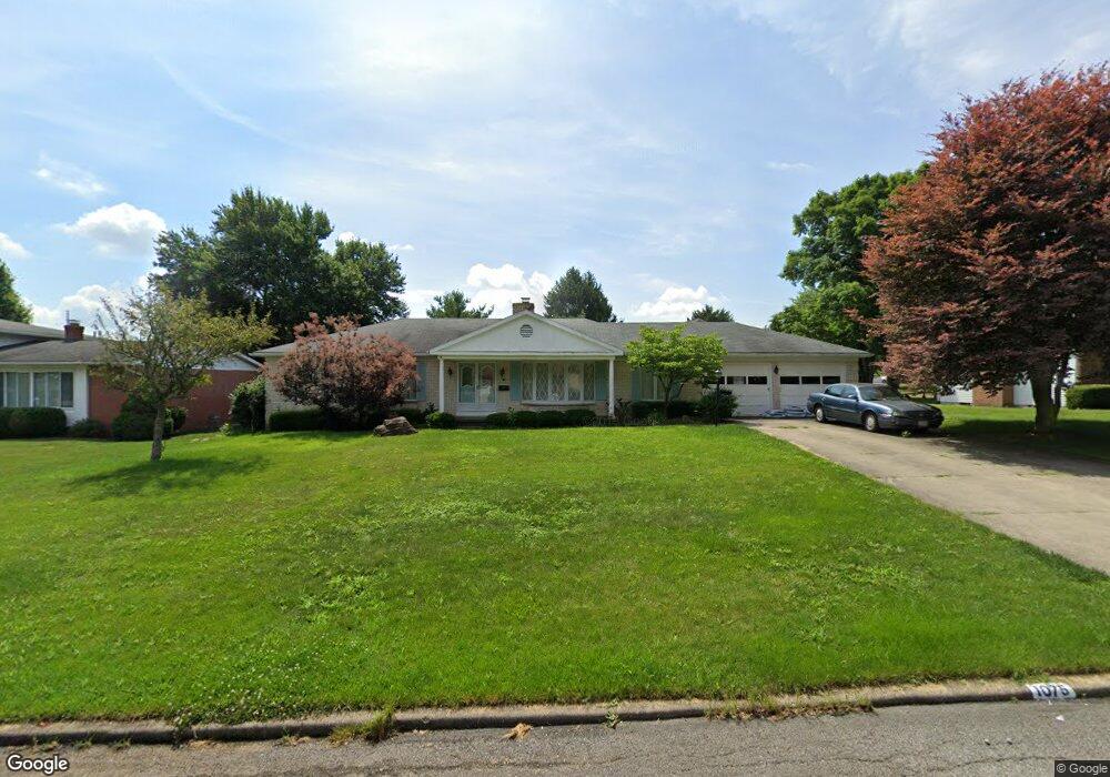
1075 Linwood Place Mansfield, OH 44906
Estimated Value: $199,023 - $228,000
3
Beds
3
Baths
1,624
Sq Ft
$135/Sq Ft
Est. Value
About This Home
This home is located at 1075 Linwood Place, Mansfield, OH 44906 and is currently estimated at $219,756, approximately $135 per square foot. 1075 Linwood Place is a home located in Richland County with nearby schools including Mansfield Elective Academy, Interactive Media & Construction (IMAC) Academy, and Cypress High School.
Ownership History
Date
Name
Owned For
Owner Type
Purchase Details
Closed on
Aug 22, 2002
Sold by
Kirkpatrick Charles L
Bought by
Lowe Catherine
Current Estimated Value
Home Financials for this Owner
Home Financials are based on the most recent Mortgage that was taken out on this home.
Original Mortgage
$112,600
Outstanding Balance
$47,919
Interest Rate
6.63%
Mortgage Type
New Conventional
Estimated Equity
$171,837
Create a Home Valuation Report for This Property
The Home Valuation Report is an in-depth analysis detailing your home's value as well as a comparison with similar homes in the area
Home Values in the Area
Average Home Value in this Area
Purchase History
| Date | Buyer | Sale Price | Title Company |
|---|---|---|---|
| Lowe Catherine | $151,500 | -- |
Source: Public Records
Mortgage History
| Date | Status | Borrower | Loan Amount |
|---|---|---|---|
| Open | Lowe Catherine | $112,600 |
Source: Public Records
Tax History Compared to Growth
Tax History
| Year | Tax Paid | Tax Assessment Tax Assessment Total Assessment is a certain percentage of the fair market value that is determined by local assessors to be the total taxable value of land and additions on the property. | Land | Improvement |
|---|---|---|---|---|
| 2024 | $1,220 | $49,470 | $7,250 | $42,220 |
| 2023 | $1,857 | $49,470 | $7,250 | $42,220 |
| 2022 | $1,606 | $37,500 | $6,220 | $31,280 |
| 2021 | $1,617 | $37,500 | $6,220 | $31,280 |
| 2020 | $1,654 | $37,500 | $6,220 | $31,280 |
| 2019 | $1,833 | $37,500 | $6,220 | $31,280 |
| 2018 | $1,808 | $37,500 | $6,220 | $31,280 |
| 2017 | $1,710 | $37,500 | $6,220 | $31,280 |
| 2016 | $1,660 | $35,050 | $6,560 | $28,490 |
| 2015 | $1,851 | $39,460 | $6,560 | $32,900 |
| 2014 | $1,827 | $39,460 | $6,560 | $32,900 |
| 2012 | $696 | $39,460 | $6,910 | $32,550 |
Source: Public Records
Map
Nearby Homes
- 1068 Linwood Place
- 244 S Trimble Rd Unit 246
- 232 S Trimble Rd Unit 234
- 216 S Trimble Rd Unit 218
- 142 Grasmere Ave
- 190 S Linden Rd
- 143 Kingwood Place
- 212 Marlow Rd
- 0 Old Mill Run Rd Unit 9067543
- 0 Old Mill Run Rd Unit 9067542
- 1157 Deer Run Rd
- 408 Fairlawn Ave
- 191 Fairlawn Ave
- 0 Deer Run Rd
- 143 Fairlawn Ave
- 37 S Linden Rd
- 135 Fairlawn Ave
- 129 Fairlawn Ave
- 679 Coleman Rd
- 0 Bally Row Unit Lot 22930 223011207
- 1065 Linwood Place
- 1085 Linwood Place
- 1060 Pearce Dr
- 1057 Linwood Place
- 1035 Tangee Place
- 1076 Linwood Place
- 1050 Pearce Dr
- 1084 Linwood Place
- 1058 Linwood Place
- 1047 Linwood Place
- 1036 Pearce Dr
- 1102 Linwood Place
- 1025 Tangee Place
- 1050 Linwood Place
- 986 Millsboro Rd
- 295 Westgate Dr
- 1055 Pearce Dr
- 1037 Linwood Place
- 285 Westgate Dr
- 267 Westgate Dr