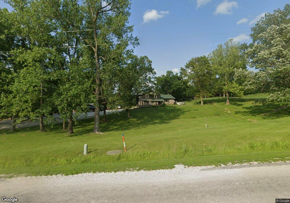
1075 N Coal Rd Colchester, IL 62326
Estimated Value: $191,000 - $308,757
4
Beds
--
Bath
1,500
Sq Ft
$160/Sq Ft
Est. Value
About This Home
This home is located at 1075 N Coal Rd, Colchester, IL 62326 and is currently estimated at $239,689, approximately $159 per square foot. 1075 N Coal Rd is a home located in McDonough County with nearby schools including West Prairie High School.
Create a Home Valuation Report for This Property
The Home Valuation Report is an in-depth analysis detailing your home's value as well as a comparison with similar homes in the area
Tax History
| Year | Tax Paid | Tax Assessment Tax Assessment Total Assessment is a certain percentage of the fair market value that is determined by local assessors to be the total taxable value of land and additions on the property. | Land | Improvement |
|---|---|---|---|---|
| 2024 | $6,045 | $79,307 | $4,214 | $75,093 |
| 2023 | $5,702 | $75,037 | $3,987 | $71,050 |
| 2022 | $5,855 | $71,362 | $3,792 | $67,570 |
| 2021 | $5,729 | $69,874 | $3,713 | $66,161 |
| 2020 | $5,582 | $72,357 | $3,651 | $68,706 |
| 2019 | $5,672 | $69,845 | $3,712 | $66,133 |
| 2018 | $5,648 | $71,155 | $3,782 | $67,373 |
| 2017 | $5,759 | $71,155 | $3,782 | $67,373 |
| 2016 | $5,654 | $69,760 | $3,708 | $66,052 |
| 2015 | $5,610 | $68,600 | $3,646 | $64,954 |
| 2014 | $4,975 | $67,572 | $3,591 | $63,981 |
| 2013 | $4,869 | $63,747 | $3,388 | $60,359 |
Source: Public Records
Map
Nearby Homes
Your Personal Tour Guide
Ask me questions while you tour the home.