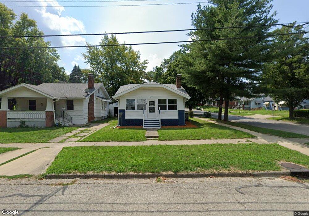
1075 N Dunham Ave Decatur, IL 62522
Garfield Park NeighborhoodEstimated Value: $30,000 - $53,000
--
Bed
--
Bath
958
Sq Ft
$45/Sq Ft
Est. Value
About This Home
This home is located at 1075 N Dunham Ave, Decatur, IL 62522 and is currently estimated at $42,667, approximately $44 per square foot. 1075 N Dunham Ave is a home located in Macon County with nearby schools including Stephen Decatur Middle School, St. Patrick School, and Teen Challenge-Home For Girls.
Ownership History
Date
Name
Owned For
Owner Type
Purchase Details
Closed on
Apr 1, 1996
Current Estimated Value
Create a Home Valuation Report for This Property
The Home Valuation Report is an in-depth analysis detailing your home's value as well as a comparison with similar homes in the area
Home Values in the Area
Average Home Value in this Area
Purchase History
| Date | Buyer | Sale Price | Title Company |
|---|---|---|---|
| -- | $34,900 | -- |
Source: Public Records
Tax History Compared to Growth
Tax History
| Year | Tax Paid | Tax Assessment Tax Assessment Total Assessment is a certain percentage of the fair market value that is determined by local assessors to be the total taxable value of land and additions on the property. | Land | Improvement |
|---|---|---|---|---|
| 2024 | $107 | $8,122 | $437 | $7,685 |
| 2023 | $110 | $7,835 | $422 | $7,413 |
| 2022 | $37 | $7,390 | $390 | $7,000 |
| 2021 | $628 | $6,902 | $365 | $6,537 |
| 2020 | $649 | $6,583 | $349 | $6,234 |
| 2019 | $649 | $6,583 | $349 | $6,234 |
| 2018 | $642 | $7,093 | $143 | $6,950 |
| 2017 | $640 | $7,283 | $147 | $7,136 |
| 2016 | $645 | $7,358 | $149 | $7,209 |
| 2015 | $624 | $7,228 | $146 | $7,082 |
| 2014 | $585 | $8,256 | $176 | $8,080 |
| 2013 | $583 | $8,567 | $183 | $8,384 |
Source: Public Records
Map
Nearby Homes
- 1065 W Green St
- 837 W Grand Ave
- 917 N Wilder Ave
- 1319 W Waggoner St
- 933 W Division St
- 1451 W Marietta St
- 875 N Monroe St
- 1545 N Monroe St
- 925 W Olive St
- 1653 N Maple Ave
- 1504 N Monroe St
- 958 W William St
- 415 W Green St
- 1535 N Mcclellan Ave
- 644 W Division St
- 844 N Edward St
- 1530 W Cushing St
- 1245 N Union St
- 1645 W Center St
- 254 N Pine St
- 1075 N Dunham St
- 1065 N Dunham Ave
- 1065 N Dunham St
- 1021 W Packard St
- 1055 N Dunham St
- 1031 W Packard St
- 1055 N Dunham Ave
- 1020 W Packard St
- 1010 W Packard St
- 997 W Packard St
- 1028 W Packard St
- 1045 N Dunham Ave
- 1070 N Dunham Ave
- 1045 N Dunham St
- 989 W Packard St
- 1035 N Dunham Ave
- 1039 W Packard St
- 1044 Kyle Ct
- 1036 W Packard St
- 1035 N Dunham St