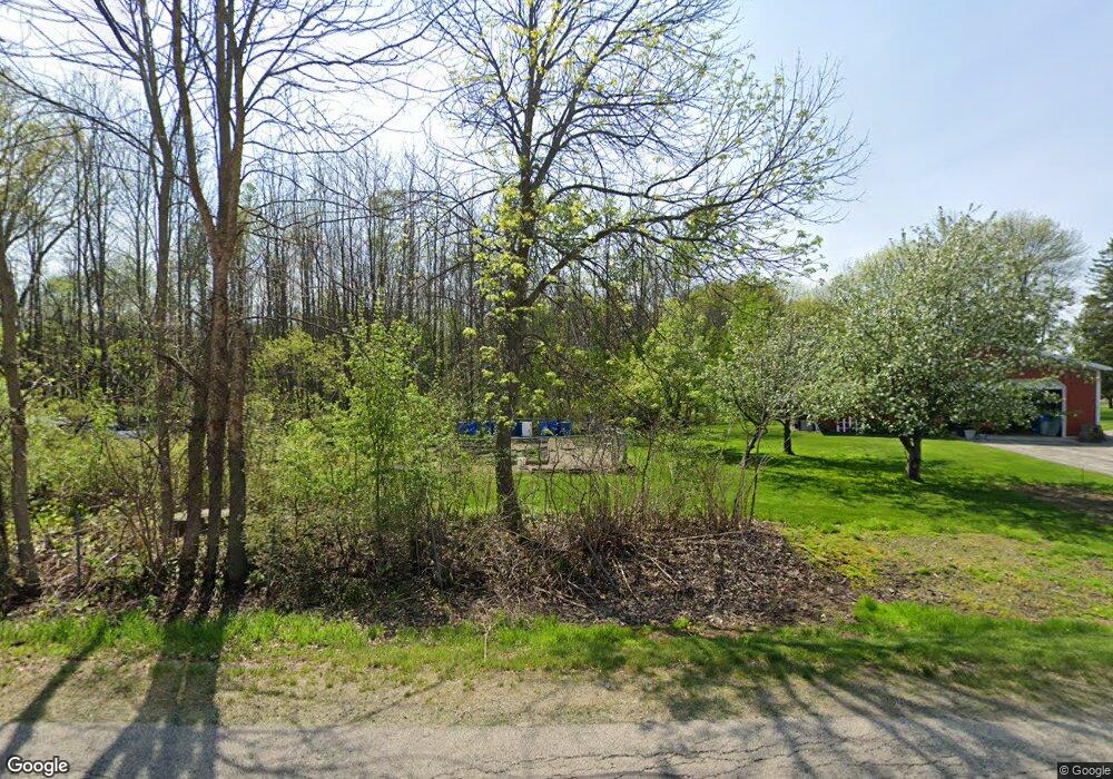
1075 Riverside Dr Suamico, WI 54173
2
Beds
2
Baths
2,958
Sq Ft
413,820
Sq Ft Lot
About This Home
This home is located at 1075 Riverside Dr, Suamico, WI 54173. 1075 Riverside Dr is a home located in Brown County with nearby schools including Bay Harbor Elementary School, Lineville Intermediate School, and Bay View Middle School.
Create a Home Valuation Report for This Property
The Home Valuation Report is an in-depth analysis detailing your home's value as well as a comparison with similar homes in the area
Home Values in the Area
Average Home Value in this Area
Tax History
| Year | Tax Paid | Tax Assessment Tax Assessment Total Assessment is a certain percentage of the fair market value that is determined by local assessors to be the total taxable value of land and additions on the property. | Land | Improvement |
|---|---|---|---|---|
| 2022 | $6,110 | $322,100 | $69,300 | $252,800 |
| 2021 | $6,163 | $363,000 | $98,600 | $264,400 |
| 2020 | $6,253 | $363,000 | $98,600 | $264,400 |
| 2019 | $6,141 | $263,100 | $68,500 | $194,600 |
| 2018 | $6,161 | $263,100 | $68,500 | $194,600 |
| 2017 | $6,236 | $263,100 | $68,500 | $194,600 |
| 2016 | $4,861 | $263,100 | $68,500 | $194,600 |
| 2015 | $4,753 | $263,100 | $68,500 | $194,600 |
| 2014 | -- | $259,700 | $68,500 | $191,200 |
| 2013 | -- | $259,700 | $68,500 | $191,200 |
Source: Public Records
Map
Nearby Homes
- 0 Sunset Beach Rd
- 1253 Riverside Dr
- 0 Maple Grove Unit 50315677
- 0 Maple Grove Unit 50315674
- 0 Maple Grove Unit 50315676
- 3175 Lakeview Dr
- 2709 Summerset Cir
- 1429 Harbor Lights Rd
- 2442 Loxley Ct
- 2451 Longtail Beach Ln
- 2503 Wilding Way
- 1926 River Hill Ct
- 1968 Trenton Ln
- 2414 Longtail Beach Ln
- 4132 Bayside Rd
- 0 Harbor Cove Ln
- 1810 Lost Trail
- 0 Lost Trail Unit 50313993
- 1980 Lost Trail
- 2150 Lost Trail
- 1105 Riverside Dr
- 1119 Riverside Dr
- 1062 Riverside Dr
- 1139 Riverside Dr
- 1125 Riverside Dr
- 1130 Riverside Dr
- 1136 Riverside Dr
- 1029 Sunset Beach Rd
- 1025 Sunset Beach Rd
- 1030 Sunset Beach Rd
- 1041 Sunset Beach Rd
- 1147 Riverside Dr
- 1050 Riverside Dr
- 1142 Riverside Dr
- 1040 Sunset Beach Rd
- 1017 Sunset Beach Rd
- 1055 Sunset Beach Rd
- 1048 Riverside Dr
- 1060 Sunset Beach Rd
- 1165 Riverside Dr
Your Personal Tour Guide
Ask me questions while you tour the home.