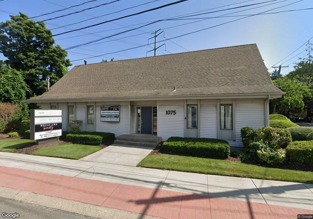
1075 Route 112 Port Jefferson Station, NY 11776
Estimated Value: $774,608
--
Bed
--
Bath
--
Sq Ft
0.29
Acres
About This Home
This home is located at 1075 Route 112, Port Jefferson Station, NY 11776 and is currently estimated at $774,608. 1075 Route 112 is a home located in Suffolk County with nearby schools including John F Kennedy Middle School and Comsewogue High School.
Ownership History
Date
Name
Owned For
Owner Type
Purchase Details
Closed on
Mar 21, 2025
Sold by
1075 Ave Llc
Bought by
Spospo3 Llc
Current Estimated Value
Purchase Details
Closed on
Nov 21, 2023
Sold by
Carole Anzini Ft and Desimone
Bought by
1075 Aob Llc
Purchase Details
Closed on
May 12, 2016
Sold by
Anzini Carole
Bought by
Carole Anzini Family Trust
Purchase Details
Closed on
Jul 28, 2003
Sold by
Anzini Frank and Anzini Carole
Bought by
Anzini Carole
Create a Home Valuation Report for This Property
The Home Valuation Report is an in-depth analysis detailing your home's value as well as a comparison with similar homes in the area
Home Values in the Area
Average Home Value in this Area
Purchase History
| Date | Buyer | Sale Price | Title Company |
|---|---|---|---|
| Spospo3 Llc | $750,000 | Westcor Land Title Ins | |
| Carole Anzini Ft | -- | None Available | |
| Spospo3 Llc | $750,000 | Westcor Land Title Ins | |
| 1075 Aob Llc | -- | None Available | |
| 1075 Aob Llc | -- | None Available | |
| Carole Anzini Family Trust | -- | None Available | |
| Carole Anzini Family Trust | -- | None Available | |
| Anzini Carole | -- | -- | |
| Anzini Carole | -- | -- |
Source: Public Records
Tax History Compared to Growth
Tax History
| Year | Tax Paid | Tax Assessment Tax Assessment Total Assessment is a certain percentage of the fair market value that is determined by local assessors to be the total taxable value of land and additions on the property. | Land | Improvement |
|---|---|---|---|---|
| 2024 | $15,060 | $3,650 | $500 | $3,150 |
| 2023 | $15,060 | $3,650 | $500 | $3,150 |
| 2022 | $13,578 | $3,650 | $500 | $3,150 |
| 2021 | $13,578 | $3,650 | $500 | $3,150 |
| 2020 | $13,858 | $3,650 | $500 | $3,150 |
| 2019 | $13,858 | $0 | $0 | $0 |
| 2018 | $13,247 | $3,650 | $500 | $3,150 |
| 2017 | $13,247 | $3,650 | $500 | $3,150 |
| 2016 | $13,121 | $3,650 | $500 | $3,150 |
| 2015 | -- | $3,650 | $500 | $3,150 |
| 2014 | -- | $3,650 | $500 | $3,150 |
Source: Public Records
Map
Nearby Homes
- 1 State St
- 11 Scranton Rd
- 4 Joline Rd
- 10 Scranton Rd
- 8 Scranton Rd
- 1010 New York 112
- 1010 Route 112 Unit 310
- 1010 Route 112 Unit 200
- 1010 Route 112 Unit 300
- 15 Scranton Rd
- 30 Canal Rd
- 18 Scranton Rd
- 7 Kestler Ct
- 1035 Route 112
- 1035 Route 112
- 5 Kestler Ct
- 22 Joline Rd
- 22 Scranton Rd
- 25 Scranton Rd
- 6 Roosevelt Ave