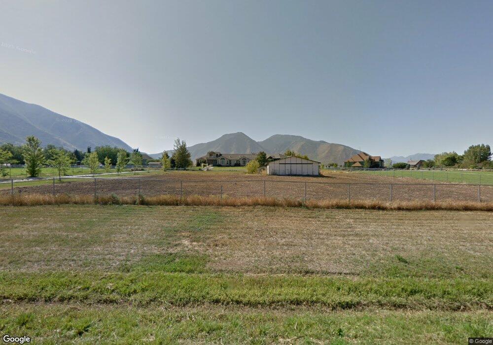
1075 W 2620 S Mapleton, UT 84664
Estimated Value: $1,550,176 - $2,737,000
7
Beds
4
Baths
11,612
Sq Ft
$175/Sq Ft
Est. Value
About This Home
This home is located at 1075 W 2620 S, Mapleton, UT 84664 and is currently estimated at $2,027,392, approximately $174 per square foot. 1075 W 2620 S is a home located in Utah County with nearby schools including Maple Ridge Elementary, Mapleton Junior High School, and Maple Mountain High School.
Ownership History
Date
Name
Owned For
Owner Type
Purchase Details
Closed on
Jan 14, 2022
Sold by
Madsen Sr Ronald E
Bought by
Pincock Larry W and Pincock Vickie L
Current Estimated Value
Home Financials for this Owner
Home Financials are based on the most recent Mortgage that was taken out on this home.
Original Mortgage
$600,000
Outstanding Balance
$552,539
Interest Rate
3.05%
Mortgage Type
New Conventional
Estimated Equity
$1,474,853
Purchase Details
Closed on
Dec 24, 2013
Sold by
Madsen Marsha E
Bought by
Madsen Ronald E
Purchase Details
Closed on
Aug 20, 2009
Sold by
Madsen Ronald E
Bought by
Madsen Marsha E
Create a Home Valuation Report for This Property
The Home Valuation Report is an in-depth analysis detailing your home's value as well as a comparison with similar homes in the area
Home Values in the Area
Average Home Value in this Area
Purchase History
| Date | Buyer | Sale Price | Title Company |
|---|---|---|---|
| Pincock Larry W | -- | Metro National Title | |
| Madsen Ronald E | -- | None Available | |
| Madsen Marsha E | -- | None Available |
Source: Public Records
Mortgage History
| Date | Status | Borrower | Loan Amount |
|---|---|---|---|
| Open | Pincock Larry W | $600,000 | |
| Closed | Pincock Larry W | $300,000 |
Source: Public Records
Tax History Compared to Growth
Tax History
| Year | Tax Paid | Tax Assessment Tax Assessment Total Assessment is a certain percentage of the fair market value that is determined by local assessors to be the total taxable value of land and additions on the property. | Land | Improvement |
|---|---|---|---|---|
| 2025 | $8,049 | $877,690 | -- | -- |
| 2024 | $8,049 | $788,485 | $0 | $0 |
| 2023 | $7,982 | $786,845 | $0 | $0 |
| 2022 | $10,736 | $1,680,700 | $691,800 | $988,900 |
| 2021 | $9,533 | $1,249,000 | $488,300 | $760,700 |
| 2020 | $9,082 | $1,160,200 | $428,800 | $731,400 |
| 2019 | $8,072 | $1,038,300 | $428,800 | $609,500 |
| 2018 | $7,773 | $967,900 | $358,400 | $609,500 |
| 2017 | $7,787 | $581,325 | $0 | $0 |
| 2016 | $6,900 | $512,050 | $0 | $0 |
| 2015 | $6,793 | $501,050 | $0 | $0 |
| 2014 | $5,851 | $423,795 | $0 | $0 |
Source: Public Records
Map
Nearby Homes
- 1353 Mapleton Heights Ct
- 7500 U S Highway 89
- 274 S 2800 St E Unit 206
- 713 S 3400 E
- 831 W Rock Ridge Dr
- 525 N 1550 W Unit COLUMB
- 525 N 1550 W Unit WINDSO
- 525 N 1550 W Unit HILDAL
- 3713 S White Ash Dr
- 525 N 1550 W Unit BALLAR
- 525 N 1550 W Unit CALDWE
- 525 N 1550 W Unit DREXEL
- 525 N 1550 W Unit MORGAN
- 525 N 1550 W Unit WAKEFI
- 525 N 1550 W Unit ARDEN
- 3958 S Sage Wood Ave Unit CHAMBE
- 1325 W Park Meadows Dr
- 1501 W Elk View Cir
- 762 W Powderwood Ln
- 1767 S 800 W
- 1151 W 2620 S
- 1005 W 2620 S
- 1060 W 2620 S
- 722 W Triple Crown Dr
- 990 W 2620 S
- 1140 W 2620 S
- 1225 W 2600 S
- 951 W 2620 S
- 1280 W 2800 S
- 1331 W 2800 S
- 1224 W 2600 S
- 930 W 2620 S
- 1325 W 2600 S
- 850 W 2620 S
- 1059 W 2400 S
- 1185 W 2400 S
- 1380 W 2600 S
- 1225 W 2400 S
- 778 W Overlook Ridge Dr Unit 44
- 778 W Overlook Ridge Dr